Trails: Sweet Gum and Homestead Trails
Hike Location:Red Top Mountain State Park
Geographic Location: east ofCartersville , GA (34.14795, -84.70736)
Length: 4.8 miles
Hike Location:
Geographic Location: east of
Length: 4.8 miles
Difficulty: 5/10 (Moderate)
Dates Hiked: November 2010, March 2023
Overview: A forest hike on wide, well-graded trails with good views ofLake Allatoona
Park Information: http://gastateparks.org/RedTopMountain
Hike Route Map: https://www.mappedometer.com/?maproute=723456
Photo Highlight:

Dates Hiked: November 2010, March 2023
Overview: A forest hike on wide, well-graded trails with good views of
Park Information: http://gastateparks.org/RedTopMountain
Hike Route Map: https://www.mappedometer.com/?maproute=723456
Photo Highlight:

Hike Video:
Directions to the trailhead: Northwest of Atlanta , take I-75 to Red Top Mountain Road (exit 285). Go east on Red Top Mountain Road , following signs for the state park. Cross Lake Allatoona Visitor Center
The hike: Occupying an entire peninsula that juts northward into Lake Allatoona, Red Top Mountain State Park provides a nice and only moderately developed recreation destination on the northwest fringe of metro Atlanta . The name of the mountain and park comes from the red-colored soil that characterizes this area. The red color suggests high iron content. Indeed, iron ore mining used to take place in this area.
The park’s main feature is its marina on Lake Allatoona Georgia . (Lake Lanier
Sometimes getting lost in all of the recreation opportunities are the numerous historical sites scattered through the park’s undeveloped woodlands. Just after you crossed Lake Allatoona on Red Top Mountain Road during your drive in, you drove past Bethany Pioneer Cemetery, accessible by a driving a short dirt road south from the main road. The iron mining area is explored by the park’s newest trail, the Iron Hill Trail, an easy-to-moderate 3.5 mile gravel trail open to both mountain bikes and hikers. The restored 1869 Vaughn Cabin is located on the paved Lakeside Trail a short distance from the Park Office.
The route described here features the Homestead Trail, the longest and arguably best hiking trail in the park. This trail takes you past several of the old homestead sites; the sites will be highlighted in the description. Since the Homestead Trail is a lollipop loop, this description will use part of the Sweet Gum Loop Trail to reduce the amount of backtracking required. Note that, although the park lists this trail at 5.5 miles in length, my calculations show it to be only about 4.8 miles long. It took me a little over 2 hours to do this hike.
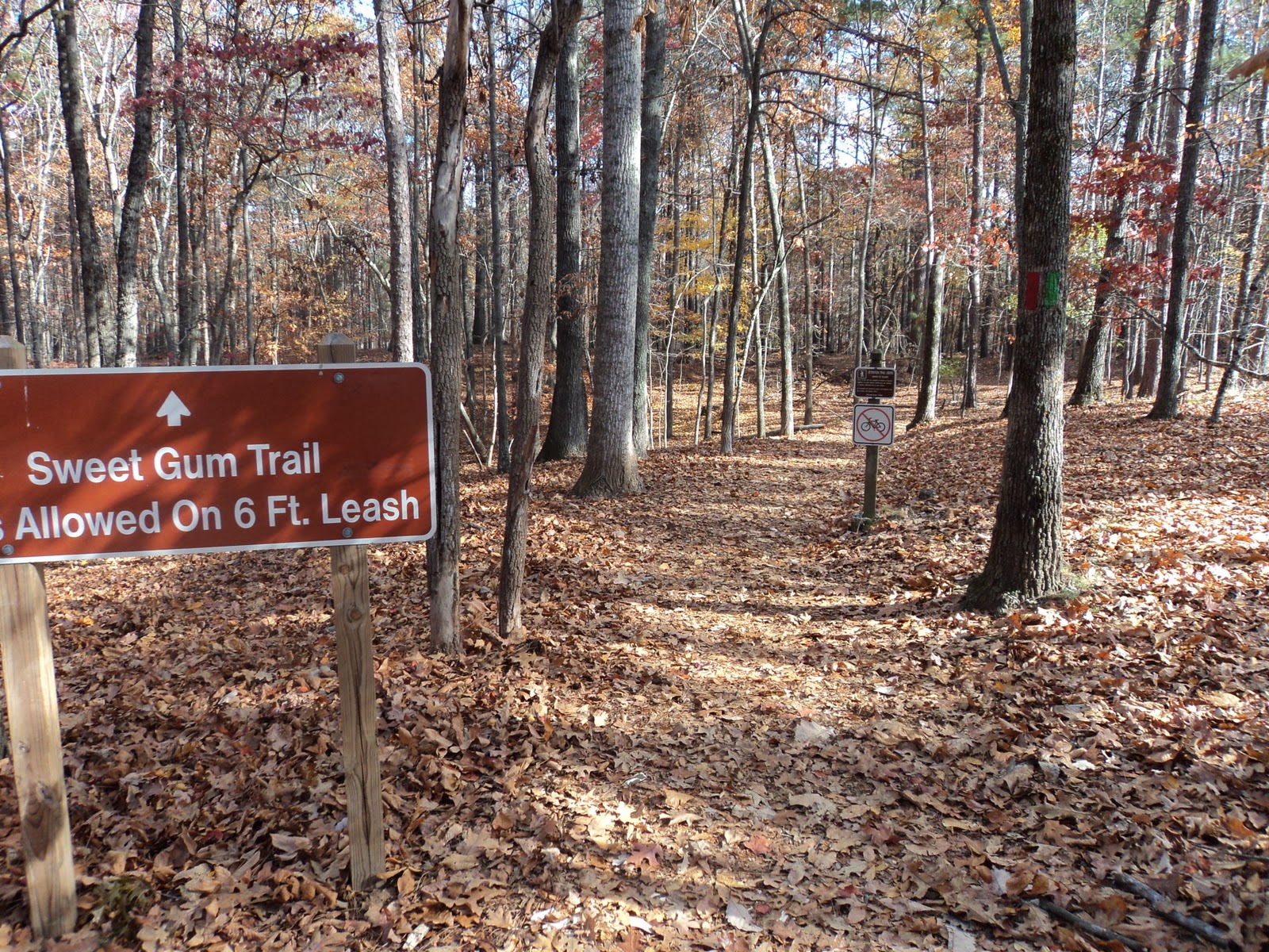 |
| Trailhead for Sweet Gum Trail |
This hike will start on the red-blazed Sweet Gum Trail, which begins near the tennis courts at the east (uphill) end of the Visitor Center Visitor Center
The trail descends gradually through second-growth broadleaf forest with a few pines in the understory. At 0.3 miles, the Sweet Gum and Homestead Trails briefly share a treadway before they separate again with the yellow-blazed Homestead Trail exiting left into a hollow. For now, stay right to remain on the Sweet Gum Trail. Just past this intersection, look to the left of the trail to see an old stone wall, the first former homestead site on this trail.
 |
| Old stone wall |
After passing through a low area with some ferns, the Sweet Gum Trail splits to form its loop. The right fork makes for a longer hike, but it also passes through the developed part of the park, past the busy park office, and along the main park road. Thus, the better choice is to take the left fork, which leads directly to the Homestead Trail.
0.6 miles into the hike, the Homestead Trail enters from the left, this time to stay. Brown carsonite posts serve as mile-markers along the Homestead Trail. After a gradual climb, the trail crosses the main park road at a well-marked crossing. The other arm of the Sweet Gum Trail exits right just after crossing the park road. Henceforth, the Homestead Trail will be your only option.
 |
| Homestead loop begins |
The trail undulates gradually as it heads for the lake, passing an ugly and too well-marked wastewater treatment area on the way. Nearly 1 mile into the hike, the first inlet of Lake Allatoona comes into view downhill to your right. The wide dirt trail does not get to the lake shore here but instead angles left to assume an elevation some 30 feet above the lake.
 |
| First view of Lake Allatoona |
1.3 miles into the hike, you reach a bench just above lake level built as part of an Eagle Scout project. The view from here is fantastic: large boulders along the lake dominate the foreground, and minimal development can be seen along the lake shore on either side. Only boats passing by or other hikers intrude into the scenery. The lake can only be seen in the distance for the rest of the hike, so enjoy this lake view, the best one on this hike.
|
| Rocky shore: Lake Allatoona |
Past the bench, the trail traces around a small inlet and climbs moderately to reach an elevation some 60 feet above the lake. If you look to your left at 1.7 miles, you can see a stone chimney that today sits in the middle of the forest some 50 feet from the trail. This chimney marks another of the former homesteads that give this trail its name.
The winding trail curves more left than right as it climbs a little more to reach an overgrown clearing. This area may be another former homestead site, but no obvious evidence identifies it as such. At 2.5 miles, the trail curves right as it crosses the height of land between two inlets of Lake Allatoona. Roughly 200 feet downhill to your left is the lakeside trail you were hiking on over a mile ago; such is the serpentine nature of this trail.
 |
| Ridgetop walking |
 |
| Eagle Scout-built bench |
The trail heads up a narrow ravine before making a wide sweeping left turn and climbing moderately. At 4.1 miles, the Homestead and Sweet Gum Trails rejoin for a short time before they part ways again to offer different routes back to the Visitor Center Visitor Center
No comments:
Post a Comment