Hike Location: Peaks View Park
Geographic Location: northwest side of Lynchburg, VA (37.41930, -79.22266)
Length: 4.9 miles
Difficulty: 5/10 (Moderate)
Dates Hiked: April 2010, May 2014
Overview: An upland hike featuring a large number of red cedar trees.
Park Information:
Photo Highlight:

Directions to the trailhead: The easiest access to the trail system at Peaks View Park is from the Ardmore entrance. Starting from the intersection of US 501 and US 221, head north on US 501. The first time US 501 turns left at a traffic light, continue straight on Old Forest Rd. Take Old Forest Rd. 1.2 miles to Ardmore Dr. and turn left on Ardmore Dr. There is a traffic light at this intersection as well. Take Ardmore Dr. 0.8 miles to the signed park entrance on the left. Pass the barn and park in the first parking lot on the right.
The hike: At 250 acres, Peaks View Park is second in size only to Blackwater Creek among the Lynchburg City Parks. What the park lacks in size it makes up for in terms of facilities. The many recreation facilities include three lighted tennis courts, seven multi-purpose fields (soccer, football, softball, baseball), volleyball courts, a basketball court, and a disc golf course.
In addition to the numerous picnic and athletic facilities, the park today also features 8 miles of dirt trails open to hikers and mountain bikers. In fact, due to the location of the trail system, you will likely meet more mountain bikers on these trails than you will other hikers. The mountain bikes help keep the trail well trodden, so if you meet people on bikes, courteously step to the side of the trail and let them pass.
The main downside to hiking at Peaks View Park is the lack of direct access to the trail system. Indeed, to reach the dirt hiking/mountain biking trails, you must first hike 0.4 miles along a paved bike path through the developed area of the park. The park’s large number of baseball, softball, and soccer fields ensure that the developed area becomes very crowded on nice warm weather weekends. Thus, I highly recommend that hikers plan a weekday visit to Peaks View Park.
 |
| Entrance to Peaks View Park |
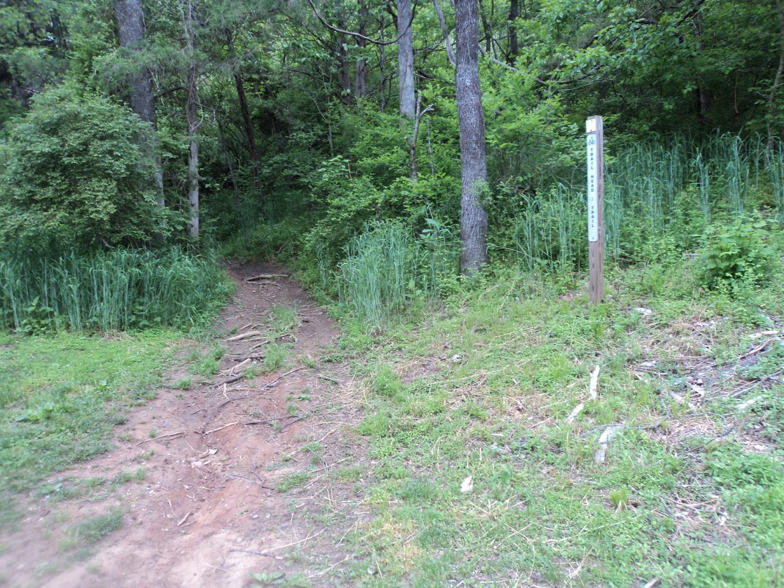 |
| Trailhead I |
You will soon come to this trail’s namesake slick rock, a small area of exposed bedrock over which the trail passes. Most of the forest in this park is reverting farmland, but unlike other such forests, the red cedar trees have managed to maintain their dominance versus their broadleaf opponents. The exposed bedrock indicates that the bedrock under these ridges is very close to the surface. Broadleaf trees need deep root systems to grow tall enough to out-compete the cedars for sunlight, and the shallow bedrock prevents such growth. Hence, the cedars can survive here but not elsewhere.
|
| Entering the slick rock |
The Ridge Cap Trail ends at a complicated trail intersection where this hike will turn right to begin the Rock Pile Trail. Note that, if you took a double left turn at this intersection, you would be on the Grapevine Trail, thus shortening this hike to only 1.8 miles. Interestingly, the Rock Pile Trail has no major rock formations on it. What it does have is numerous dips and humps designed to challenge mountain bikers. The contours can challenge hikers too, but careful stepping should get you through with no problems except perhaps when water tables are very high.
 |
| Hiking the Rock Pile Trail |
The Cyclone Trail is the longest trail in the park, and this hike will use its entire length. The length is due to the serpentine route consisting of three very broad switchbacks the trail takes to climb the park’s main ridge. This route may seem tedious, but it can have advantages. As you get closer to the ridgetop, the cedar trees thin out and the understory fills in with various bushes, most abundantly honeysuckle. This underbrush makes a prime opportunity for deer sightings. When I climbed the Cyclone Trail, I could hear some rustling in the bushes to my right but could see nothing. When the broad switchback brought me back to that area a few minutes later, four white-tailed deer went galloping from along the trail further uphill.
 |
| Hiking the Cyclone Trail |
For the next 0.5 miles the trail maintains a relatively constant elevation with the hillside rising to your left and falling away to your right. I saw several more deer grazing in the thick understory while I was hiking this section of trail. At 3 miles, you reach another major trail intersection. Continuing straight is the Trailhead III Trail (called the Mimosa Trail on the park map) which leads downhill and along a small creek to its namesake trailhead. Uphill and to the left are the Upper Piney and Fire Road Trails, both of which retrace the route of our Lower Piney Trail albeit at a slightly higher elevation. This hike will go uphill and then continue straight on the Outback Trail as you pass the farthest point from the trailhead on this hike.
True to its name, the Outback Trail takes you very near the rear park boundary, which is marked with a wire fence on your right. The forest here is very young with a grassy, shrubby understory. Soon the Outback Trail curves gradually left to stay within the park’s boundaries.
 |
| Hiking the Tom Cat Trail |
Very quickly the houses fade behind you, replaced by a deep wooded ravine. At 3.6 miles, the trail drops steeply into this ravine to arrive at another trail intersection, where the Tom Cat Trail ends. Continuing straight would lead you back to the Rock Pile Trail and short-cut this hike. To see the best forest in the park, you should turn right and begin the Steve’s Bowl-A-Rama Trail.
 |
| Starting the Steve's Bowl-A-Rama Trail |
3.8 miles into the hike, another sweeping 180-degree left turn takes the trail slightly downhill as the park’s softball fields come into view further downhill and to the right. Now the trail again passes through many of the same ravines you passed through going the other direction only minutes ago. At this elevation, the ravines are broader and less steep than they were earlier.
At 4.2 miles, you reach an intersection with the Grapevine Trail, where you should turn right to begin the Grapevine Trail. Several wild grapevines can be seen climbing the small cedar trees along this trail, so once again the name fits. At 4.4 miles, the loop is closed as the Grapevine Trail ends at the Slick Rock Trail. Turn right and hike the single switchback down to the paved Ivy Creek Greenway. A right turn and 0.4 miles of walking along paved trail will return you to your car and complete the hike.
No comments:
Post a Comment