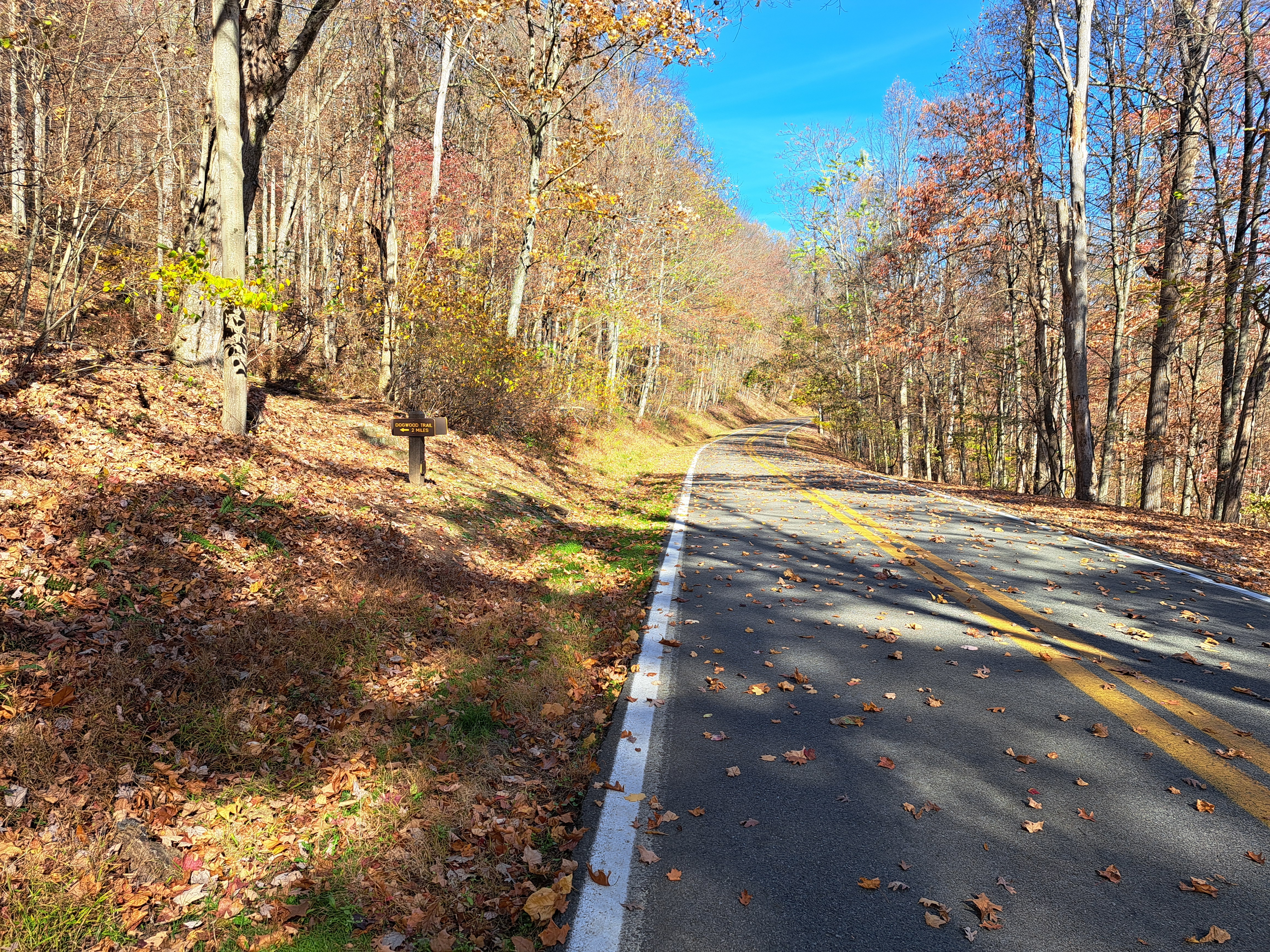
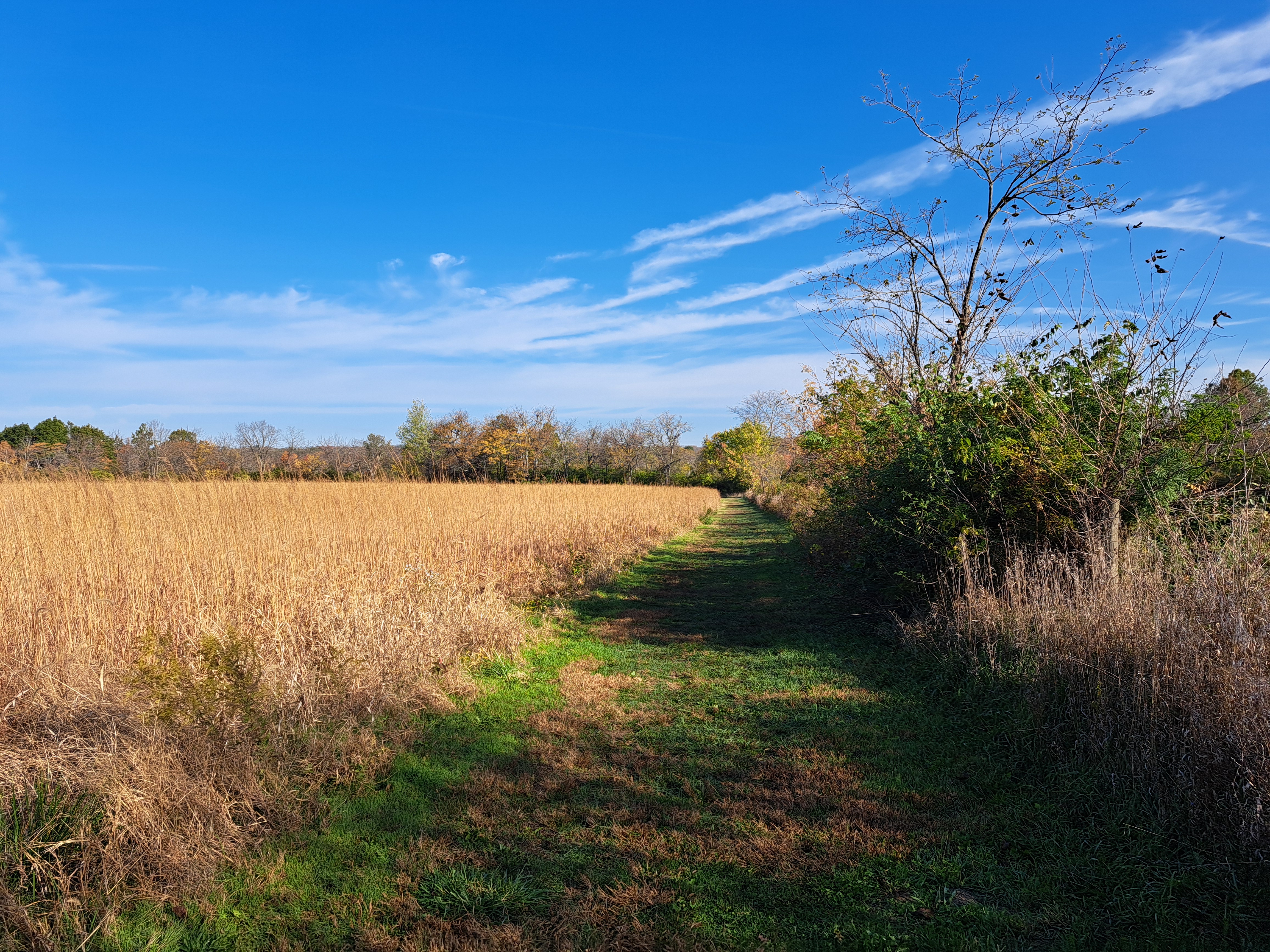
Sunday, April 21, 2024

Colorado River State Historic Park to Yuma Territorial Prison State Historic Park (Blog Hike #999)

Trails: Riverfront Trail, Nature Trail, et. al.
Hike Location: Colorado River State Historic Park and Yuma Territorial Prison State Historic Park
Geographic Location: downtown Yuma, AZ (32.72719, -114.62333)
Length: 2.9 miles
Difficulty: 1/10 (Easy)
Date Hiked: February 2024
Overview: An out-and-back connecting two historic sites in downtown Yuma.
Park Information, Army Depot: https://azstateparks.com/colorado-river
Park Information, Territorial Prison: https://azstateparks.com/yuma-territorial
Hike Route Map: https://www.mappedometer.com/?maproute=956431
Photo Highlight:
Hike Video: (coming April 11, 2025)

Directions to the trailhead: On the Arizona/California state line, take I-8 to 4th Avenue (California exit 172).  Exit and go south on 4th Ave.  Drive 4th Ave. south, and turn left to enter Colorado River State Historic Park immediately after crossing the Colorado River.  This hike begins at Colorado River State Historic Park.

The hike: With a union entry date of February 14, 1912, Arizona is the youngest of the United States' contiguous 48 states.  The northern three-fourths of Arizona's land was ceded to the United States by Mexico in 1848 at the end of the Mexican-American War, while the southern portion was acquired in 1853 via the Gadsden Purchase.  The land was formally organized as the Arizona Territory in 1863, and those boundaries more or less correspond to the State of Arizona today.
            Located in extreme southwest Arizona, the City of Yuma is one of the best places to go if you want a glimpse into Arizona's territorial days.  The city is located at the old Yuma Crossing, which is one of the few naturally fordable points on the lower Colorado River.  Two state historic parks are located in downtown Yuma: Colorado River State Historic Park, which protects an old army quartermaster depot, and Yuma Territorial Prison State Historic Park, which protects the old Arizona Territory prison.  A bike trail goes along the Colorado River between the two parks, so you can see them both in one fairly easy hike, namely the one described here.  Note that Arizona State Parks do not allow same-day use and do charge for pedestrian access, so you will need to pay park entrance fees at both parks.
Army depot storehouse
Army depot officer's quarters
    
        Start with a tour of the old army depot, which was active from 1865 until 1883.  If you follow the self-guided tour's route, your first stop will be the old storehouse, a large building that looks like some old fieldhouses/gymnasiums I have seen in the Midwest.  The building is filled with period items and many interpretive signs that describe life in Yuma in the late 1800's.  Next comes the Office of the Depot Quartermaster, a smaller house-like building that contains some exhibits about military life.  Stops at the officer's quarters and (much newer) corral house complete your tour.
Hiking the bike path
    
        To begin your journey to the Yuma Territorial Prison, walk back out through the Visitor Center, cross the parking lot, then turn right twice to begin heading east on an asphalt bike path with the Colorado River on your left and the old army depot you just toured on your right.  The self-guided tour map calls this trail the Riverfront trail/Bike path, but it is unsigned on the ground.  The asphalt trail winds through Gateway Park, a long narrow greenway along the Colorado River, as it passes first under the concrete I-10 bridge and then under the older but more aesthetically pleasing Ocean-to-Ocean Bridge.  Nice views upstream along the river emerge even with all of the development.
Colorado River in downtown Yuma
    
        1.25 miles into the hike (including the army depot walking tour), you reach the dirt trail that leads to the Yuma Territorial Prison.  Turn right to leave the asphalt and begin a short but occasionally steep climb that winds around the prison cemetery and ends at the Yuma Territorial Prison's parking lot.  Walk across the parking lot and through the admission building to enter the prison.
Hiking up to the prison
    
        Like the old army depot, the old prison offers a self-guided walking tour.  The tour starts with a viewpoint of the bridges you just walked under, but the first main point of interest is the old guard tower.  Climbing the two flights of steps yields fantastic views across the desert to the east and over the prison to the southwest.
View east from guard tower
Prison cell block
    
        Next enter the prison itself by passing through the sally port and museum.  This prison is every bit as foreboding as you would expect, especially the dark cell used for solitary confinement.  This prison would be a truly miserable place to be in the hot desert summer.  After touring the prison, walk back to the old army depot on the bike path to complete the hike.  On your way back, be sure to take the short dirt Nature Trail that goes between the bike path and the river near the old prison.  This trail passes through a pleasantly wooded area, and it lets you experience the riverside in a more natural setting compared to the rest of the hike.

Friday, April 19, 2024

Cabrillo National Monument: Bayside Trail (Blog Hike #998)

Trail: Bayside Trail
Hike Location: Cabrillo National Monument
Geographic Location: west of San Diego, CA (32.67349, -117.2405)
Length: 2.5 miles
Difficulty: 4/10 (Moderate)
Date Hiked: February 2024
Overview: An out-and-back with great views of San Diego and interesting history.
Monument Information: https://www.nps.gov/cabr/index.htm
Hike Route Map: https://www.mappedometer.com/?maproute=956373
Photo Highlight:
Hike Video: (coming January 31, 2025)

Directions to the trailhead: From the west end of I-8, take Nimitz Boulevard south 0.8 miles to Catalina Boulevard.  Exit and turn right on Catalina Blvd.  Drive Catalina Blvd. south 5 miles to where it dead-ends at the entrance to Cabrillo National Monument.  Pay the entrance fee, and park in the main parking lot near the Visitor Center.

The hike: The year was 1542 when Iberian explorer Juan Rodriguez Cabrillo became the first European to land on what is today the United States' west coast.  Cabrillo set sail on June 27 from Navidad, New Spain in present-day Mexico, heading north along the Pacific coast with 3 ships.  He landed on the shore of today's San Diego Bay on September 28 before heading further north.
            Though the descriptions of his northern-most point are vague, most people think he reached at least the Russian River in northern California and maybe even the Columbia River in Oregon before being forced to turn back due to bad winter weather.  Interestingly, he completely missed famous San Francisco Bay, an error European mariners would continue to make until 1769.  Cabrillo's 1542 journey up the west coast would be his last: he died on January 5, 1543 due to infection from a broken shin.
            Today the place Cabrillo first set foot in what would become the United States is protected as Cabrillo National Monument.  The monument started as a 0.5 acre reservation in 1913, but today it consists of 143 acres at the southern tip of Point Loma, the peninsula of land that separates San Diego Bay from the Pacific Ocean.  The monument is quite popular due to its proximity to San Diego and nearby naval bases, and it receives over 700,000 visitors in a normal year.
            The monument is open for day-use only, but it features an excellent museum with several films about Cabrillo, a lighthouse that dates to 1855, some interesting World War II history, and 2 hiking trails.  The trails are aptly named: the Coastal Trail explores the west side of the peninsula facing the Pacific Ocean, while the Bayside Trail explores the east side of the peninsula facing San Diego Bay.  Both trails are interesting, but there is no connecting trail that would allow you to explore both trails in one hike.  This hike features the Bayside Trail, which is the longer of the two trails.
Juan Rodriguez Cabrillo statue
    
        From the front of the Visitor Center, walk back to the parking lot and turn left to reach a famous statue of Juan Rodriguez Cabrillo.  Commissioned in 1939 by the Portuguese government, the handsome sandstone statue occupies a scenic spot with San Diego Bay and the San Diego skyline in the background.  Next walk out the south side of the parking lot following a paved road that is closed to vehicles.  Climb slightly to reach Old Point Loma Lighthouse at 0.3 miles.  Built in 1855, this lighthouse seems to occupy the highest ground in the Monument, and it adds a nice historical element to this hike.
Old Point Loma Lighthouse
    
        After visiting the lighthouse, continue to follow the asphalt road as it winds and descends.  You can actually see our eventual destination, the lower end of the Bayside Trail, if you look downhill to the left.  Just past 0.6 miles, you reach the signed upper end of the dirt/gravel Bayside Trail.  Turn left to leave the pavement and begin a moderate descent on the Bayside Trail.
Descending on the Bayside Trail
    
        One of the great things about the Bayside Trail is that San Diego Bay stays in full view for the trail's entire length.  The numerous naval bases in this area ensure a steady flow of naval planes, helicopters, and ships entering and leaving the area; you will get to see all of that traffic on this hike.  During my hike, I watched what looked like a destroyer enter the bay...and numerous other smaller yachts and boats scrambling to get out of its way!
Navy ship entering San Diego Bay
World War II spotlight shed
    
        At 0.85 miles, the grade lessens as you begin heading in and out of 2 small ravines.  The nice bay views with San Diego across the bay continue, but some old World War II military structures on the land also attract your attention.  What looks like a railroad tunnel with a lid on it is actually an old spotlight storage shed: the spotlight was wheeled out at night to scout for invading ships and planes.  Interpretive signs give information about this area's military history, and they also tell about the hardy shrubs that inhabit this treeless hillside.
San Diego Bay
    
        At 1.3 miles, you reach the viewpoint at the lowest elevation on this hike.  This viewpoint is kind of anticlimactic: it gives the same fantastic view across San Diego Bay you have enjoyed the whole way down.  The Bayside Trail ends here, so your only option is to retrace your steps back uphill to the parking lot to complete the hike.  If you want to do more hiking, check out the Coastal Trail, which offers equally impressive views but from the other (ocean) side of the peninsula.

Sunday, April 14, 2024

Chino Hills State Park: Bane Ridge/Bane Canyon Loop (Blog Hike #997)

Trails: Bane Ridge and Bane Canyon Trails
Hike Location: Chino Hills State Park
Geographic Location: south side of Chino Hills, CA (33.94416, -117.70330)
Length: 4.8 miles
Difficulty: 7/10 (Moderate/Difficult)
Date Hiked: February 2024
Overview: A loop hike featuring views and wildlife around Bane Canyon.
Park Information: https://www.parks.ca.gov/?page_id=648
Hike Route Map: https://www.mappedometer.com/?maproute=956303
Photo Highlight:
Hike Video: (coming December 27)

Directions to the trailhead: Southeast of Los Angeles, take SR 71 to Soquel Canyon Parkway (exit 7).  Exit and go west on Soquel Canyon Pkwy.  Drive Soquel Canyon Pkwy. west 1 mile to Elivanar Drive;  there is a red light at this intersection.  Turn left on Elivanar Dr.  Elivanar Dr. becomes Sapphire Drive when it curves left just before the park entrance on the right.  Turn right to enter the park, pay the entrance fee, and park at the entrance station and restroom building.

The hike: Consisting of a vast 14,173 acres on the southeast side of the vaster Los Angeles metro area, Chino Hills State Park is a critical refuge for both flora and fauna.  The park protects many hills covered with native grasses in addition to some chaparral and oak woodland habitats.  The Pacific flyway bird migration route passes through this area, and the park's land provides an important resting area for birds and other wildlife.
            Chino Hills State Park came to be in 1981 when a local citizen group called Hills for Everyone convinced the state to acquire land formerly used for cattle grazing.  The park today features a cozy 20-site campground and some picnic areas, but most of the park remains in its natural state and is accessible only via an extensive trail system.  Bane Canyon is the park's most popular and easily accessed area, and the hike described here takes you on a scenic loop up and down the west side of the canyon.
            One warning about this hike: this park sits on clay soil that turns into a slippery muddy mess with just a medium amount of rain.  During these times, the park will close all natural-surface trails for public safety and to prevent erosion, so check the park's website and plan your visit accordingly.  I spent several days in the Los Angeles area in mid-February 2024, and I had to wait until my final day in this area before the park's trails finally reopened to allow me to hike here.
Trailhead near entrance station
    
        From the park entrance station, head southwest to pick up the signed entrance trail.  In only a couple hundred feet, you reach the Bane Canyon Trail.  Turn right to begin heading up canyon and counterclockwise around our loop.
Climbing on the Bane Canyon Trail
    
        The wide dirt/gravel Bane Canyon Trail heads gradually uphill with the park entrance road you drove in to the right and the grass-covered canyon wall rising to the left.  The scenery is surprisingly barren and natural given this park's location in metro Los Angeles.  At 0.2 miles, you reach the upper end of the Bane Canyon Trail where it intersects the park entrance road.  Angle softly left to continue uphill on the park entrance road.
Starting the Bane Ridge Trail
    
        At 0.4 miles, you reach the start of the Bane Ridge Trail as you approach the top of the park road's hill.  Turn left and walk around a vehicle gate to begin the Bane Ridge Trail.  The climb 
on a gradual grade continues, but the Bane Ridge Trail is narrower and more eroded than the Bane Canyon Trail you began on.  Thus, grass and garlic mustard will swipe at your legs in season.
Near the highest point of Bane Ridge
    
        The trail curves left as it approaches the top of the ridge.  Near 0.8 miles, you reach this hike's highest point, which is about 500 feet above this hike's lowest point.  The next 0.9 miles take you on a ridgetop roller coaster course with 3 short steep descents.  Fantastic views across the grassy Chino Hills unfold all around you, and the taller Santa Ana Mountains can be seen in the distance to the south.
View south down Bane Ridge
    
        1.6 miles into the hike, you reach a trail intersection just before you pass under some high voltage power lines.  A connector trail exiting left leads to the Pomona Trail and offers you an opportunity to shorten your hike to a 2.5 mile loop, but this hike continues straight to stay on the Bane Ridge Trail and do a longer loop.  After topping one final knob, a gradual to moderate descent ensues, but the fantastic ridgetop views continue.
View west over the Chino Hills
    
        At 2.8 miles, you reach the south end of the Bane Ridge Trail at the parking lot for the park's picnic area and equestrian trailhead.  A day-use horse corral and restrooms are located here, and the old Rolling M Ranch can be seen to the west; it is now the park's campground.  The sheltered picnic tables here make great places to sit, rest, and rehydrate near the midpoint of this hike.
Picnic area parking lot
    
        Your next task is to find the south end of the Bane Canyon Trail, which is our return route.  Get there by taking any of the three trails that exit the equestrian trailhead to the east, then turn left on the main park road to begin walking north along the road.  This road is popular for people with dogs because dogs are not allowed on the park's dirt trails, so you likely will not be alone in this area.  The Bane Canyon Trail begins on the left side of the park road near a yellow vehicle gate 3.3 miles into the hike.
South end of Bane Canyon Trail
    
        The rest of the hike is a gradual climb on the Bane Canyon Trail, which is a wide dirt/gravel trail that stays near the bottom of Bane Canyon with the park road to the right.  The creekside setting makes for good wildlife viewing, and I saw some 
mourning doves, roadrunners, and deer on my hike.  Just past 4.7 miles, you close the loop.  Angle right to walk back up the entrance trail, return to the entrance station, and complete the hike.

Friday, April 12, 2024

Cleveland National Forest: San Juan Loop Trail (Blog Hike #996)

Trail: San Juan Loop Trail (Trail #5W08)
Hike Location: Cleveland National Forest
Geographic Location: east of San Juan Capistrano, CA (33.61280, -117.42630)
Length: 2.1 miles
Difficulty: 6/10 (Moderate)
Date Hiked: February 2024
Overview: A loop hike into a rocky canyon featuring a two-tier waterfall.
Trail Information: https://www.fs.usda.gov/recarea/cleveland/recarea/?recid=47648
Hike Route Map: https://www.mappedometer.com/?maproute=956219
Photo Highlight:
Hike Video: (coming date TBD)

Directions to the trailhead: Between Los Angeles and San Diego, take I-5 to SR 74 (exit 82).  Exit and go east on SR 74.  Drive SR 74 east 19.4 miles to the signed trailhead parking lot on the left.  Turn left and park in the large paved lot.

The hike: Occupying 460,000 acres of inland montane land, Cleveland National Forest is the southern-most of the 18 national forests located at least partly within California.  The forest was created in 1908 when President Theodore Roosevelt combined Trabuco Canyon National Reserve and San Jacinto National Reserve.  The forest was named for former President Grover Cleveland even though he has no obvious connection to this area.
            Cleveland National Forest offers a myriad of hiking and backpacking trails, and one of the shorter and easier options is the San Juan Loop Trail described here.  Located high in San Juan Creek's canyon, the San Juan Loop Trail explores the rocky terrain above San Juan Creek, and it passes one of the area's best waterfalls.  I came here on a warm and sunny Tuesday afternoon and had an excellent hike.
San Juan Loop Trail trailhead
    
        Start at the north end of the parking lot, where a wooden information kiosk contains a large but old map and marks the trailhead.  The somewhat narrow dirt trail climbs gently to quickly reach its highest point.  At first dense brush towers overhead and crowds the trail, but soon nice views open up across SR 74 into the rocky and rugged San Mateo Canyon Wilderness to the east.
View east into San Mateo Canyon Wilderness
    
        After passing the highest point, the trail begins a long, moderate, and occasionally rocky descent.  At 0.25 miles, you reach a rocky overlook of a two-tier waterfall in one of San Juan Creek's tributaries.  The waterfall's lower tier is partially hidden by brush.  Also, this waterfall probably dries up during a drought, but it had good flow when I came here a few days after a heavy rain from one of this region's notorious "Pineapple express" storms.
Top tier of waterfall
    
        Past the waterfall, you descend a couple of switchbacks down a steep and rocky hillside.  At 0.6 miles, the descent eases as you begin heading southwest with the main channel of San Juan Creek visible downhill to the right.  The trail remains narrow here with brush rubbing against your legs, so pants will be much more comfortable than shorts on this hike.
Entering the riparian corridor
    
        A little more winding and descending brings you into the densely wooded riparian corridor around San Juan Creek near 1 mile into the hike.  Now the character of the hike completely changes from a sunny, rocky, brushy hillside to a damp, densely wooded ravine bottom.  Bugs will be an issue here in season, but the hiking is much easier here than on the rocky hillside.
Hiking through the riparian area
    
        At 1.1 miles, you reach a major signed trail intersection.  The longer and more difficult Chiquito Trail exits right to ford San Juan Creek, but our hike angles left to stay on the San Juan Loop.  
From here it is about 325 feet of elevation gain to get back to the parking lot.  A nice bench makes a good place to sit and rest near the midpoint of this hike.
View down San Juan Creek's canyon
    
        Soon the trail curves left to begin climbing with another tributary of San Juan Creek on the right.  The terrain is less rocky and easier to deal with than on the downward portion of the loop, but heavily-traveled SR 74 stays within sight to the right for most of the climb.  Thus, the hiking is not nearly as pleasant.  After passing a primitive campground, the trail climbs to a ledge that gives nice views down San Juan Creek's canyon and of the rocky surrounding hillsides.  A little more gradual to moderate climbing returns you to the parking lot to complete the hike.

Monday, April 8, 2024

San Clemente State Beach (Blog Hike #995)

Trails: Butterfly and Access Trails
Hike Location: San Clemente State Beach
Geographic Location: south side of San Clemente, CA (33.40563, -117.60425)
Length: 1.5 miles
Difficulty: 3/10 (Easy/Moderate)
Date Hiked: February 2024
Overview: A loop hike up the bluffs, around the campground, and along the beach.
Park Information: https://www.parks.ca.gov/?page_id=646
Hike Route Map: https://www.mappedometer.com/?maproute=956109
Photo Highlight:
Hike Video: (coming November 5)

Directions to the trailhead: Between Los Angeles and San Diego, take I-5 to exit 73.  Exit, cross over to the west side of the interstate if necessary, and then head west on Avenida Calafia.  Avenida Calafia dead-ends at the day-use parking lot for San Clemente State Beach.

The hike: Established as a California state beach in 1937, San Clemente State Beach is one of the most popular state beaches in California.  The mile-long beach is known for the steep bluff that rises above its sands.  The bluff gives this beach a very different feel than nearby San Onofre and Doheny State Beaches, and it is popular with ocean sports enthusiasts and with people from nearby San Diego and Los Angeles.
            In terms of amenities, the small park features a 160-site developed campground, a picnic area, and of course the beach.  The park features several short trails, and combining them in a clever way forms the loop described here that explores both the bluff and the beach.  I came here as an add-on after hiking at nearby San Onofre State Beach and had an excellent short hike with a wide variety of scenery.
Start of trail at day-use area
    
        From the restroom building at the beach day-use parking lot, walk back uphill along the parking lot you just drove down through and look to the right for the start of the trail.  The trailhead is unsigned and unmarked, but the obvious well-worn dirt trail starts beside a large eucalyptus tree.  Stay to the left as the trail winds uphill, sometimes steeply, through badland-type bluffs; the trail that goes right leads to the campground.  These bluffs consist of light-colored easily-eroded dirt and rock that gets hot and sunny in the summer, so this hike can be harder than the elevation and distance would indicate.  Some prickly pear cacti living in these bluffs will brighten your path in season.
Climbing through the bluffs
    
        At 0.25 miles, you reach the top of the bluff and start paralleling the campground entrance road.  A bench near the campground entrance station gives a great view back down the bluffs toward the ocean.  After passing the entrance station, cross the campground road to the left and begin the trail through the park's butterfly garden.  This area features plants such as milkweed that tend to attract butterflies, but I did not see any butterflies when I came here on a sunny Monday afternoon.
View from campground entrance station
    
        0.5 miles into the hike, you reach the park's pedestrian entrance on the left.  Turn right to begin hiking west along the south end of the north campground.  This trail is ADA-accessible, and it ends at the Visitor Center parking lot near 0.8 miles.  Cross the parking lot and angle right to enter the park's picnic area, which offers more fantastic blufftop ocean views.
Tunnel under the railroad tracks
    
        Exit the rear of the picnic area on a wide dirt trail that heads steeply downhill through the bluffs.  After curving left to parallel an active railroad track, you reach a trail intersection 1 mile into the hike.  The trail going uphill to the left heads back to the Visitor Center parking lot, so you want to turn right to pass through a tunnel under the railroad tracks and arrive at the beach.  This beach is rockier than most southern California beaches, and the rocks combined with the close bluffs give this beach a distinctive and rugged look and feel.
San Clemente beach
    
        To get back to your car, turn right and begin hiking north along the rocky beach.  The beach is quite narrow with the ocean on your left and the bluff rising to the right.  At 1.3 miles, you reach the wooden steps that lead back to the day-use parking lot.  The first step off of the sand is a tall one, a testament to how much erosion this beach has sustained.  A concrete path crosses the railroad tracks and returns you to the parking lot to complete the hike.

Saturday, April 6, 2024

San Onofre State Beach: San Mateo Campground to Trestles Beach (Blog Hike #994)

Trails: Panhe Nature and Trestles Beach Trails
Hike Location: San Onofre State Beach
Geographic Location: south side of San Clemente, CA (33.40605, -117.58513)
Length: 3.3 miles
Difficulty: 5/10 (Moderate)
Date Hiked: February 2024
Overview: An out-and-back to a famous surfing beach.
Park Information: https://www.parks.ca.gov/?page_id=647
Hike Route Map: https://www.mappedometer.com/?maproute=956108
Photo Highlight:
Hike Video: (coming February 21, 2025)

Directions to the trailhead: Between Los Angeles and San Diego, take I-5 to Cristianitos Road (exit 72).  Exit and go east on Cristianitos Rd.  Drive Cristianitos Rd. east 1 mile to the signed entrance for the state beach's San Mateo Campground on the right.  Turn right to enter the campground, pay the day-use entrance fee, then turn right 3 times to reach the trailhead parking lot.

The hike: Consisting of 3000 acres leased from the United States Marine Corps, San Onofre State Beach protects a 3.5 mile beach that is one of the longest undeveloped stretches of oceanfront in southern California.  The state beach's land sits adjacent to Marine Corps Camp Pendleton, which was established in 1942.  The state beach came to be in 1971 when Governor Ronald Reagan signed the lease, and the lease is in the process of being renewed as I write this Trail Journal entry.  The beach was named by Catholic missionaries for the 4th century Egyptian hermit St. Onuphrius, but it has no obvious connection to him.
            A surfing camp has existed on this site since the 1920's, and surfing remains the beach's main attraction today.  In fact over 2.5 million visitors come to this beach each year, making it one of the most popular state parks in California.  The state beach contains 4 main surfing areas: Trestles, Church, Surf Beach, and Trails from north to south.  The state beach also offers 2 campgrounds: the Bluffs Campground located on the bluffs overlooking the ocean and the San Mateo Campground located further inland on old US 101.
            In terms of trails, the state beach offers several short trails that connect the bluffs to the beach, and it offers a system of trails through hilly terrain further inland.  Splitting the difference between those two options are the Panhe Nature and Trestles Beach Trails described here.  The Panhe Nature Trail starts inland at the San Mateo Campground, but it connects with the Trestles Beach Trail to lead to Trestles Beach, which many regard as this area's best surfing beach.  Thus, this hike lets you sample everything San Onofre State Beach has to offer.
San Mateo Campground trailhead
    
        The San Mateo Campground trailhead is marked with an information kiosk and a brown metal sign that says "Beach Trail."  The wide gravel/dirt trail starts winding its way uphill on a gradual grade.  The sunny hillside features a dense shrubby ground cover, but some eucalyptus trees appear as you near the top of the hill.
View from highest point
    
        Just past 0.4 miles, you pass the highest elevation on this hike as you come alongside Cristianitos Road, which is the road you drove in on and old US 101.  The rest of the hike can be seen from here, including I-5 and the Pacific Ocean.  Next the trail begins descending gradually, and you pass an interpretive sign that describes the ancient village of Panhe.  Panhe means "place by the water" in the Acjachemen language.  Indeed, the village sat beside San Mateo Creek, which runs through the ravine to the east.
Descending toward San Mateo Creek
    
        At 0.9 miles, you pass the access trail that exits right to the Trestles Beach parking area before beginning the steepest part of the hike.  The difference between maximum and minimum elevation on this hike is just under 200 feet, so the steep area is over pretty quick.  Next the trail curves right to begin following San Mateo Creek as it passes under I-5.  You are now officially on the Trestles Beach Trail, but there are no signs or discernable changes in trail conditions.
Old Pacific Coast Highway
    
        1.2 miles into the hike, you cross the old Pacific Coast Highway, which is now a bike trail.  Continue straight to keep heading for Trestles Beach.  Now the trail flattens out as it passes between a wetland on the left and a low bluff on the right.  I did some good bird viewing on this section of trail, and I had a rabbit bound across the trail in front of me.
Entrance to Trestles Beach
    
        Just past 1.5 miles, you reach the iron and concrete railroad trestle that guards the entrance to Trestles Beach.  Trains do use this railroad, so going under the trestle is preferable to climbing over the railroad tracks.  Mind your head as you walk under the trestle, then climb over the sand dunes to reach the trail's end at Trestles Beach.
Trestles Beach
    
        Known for its consistent and perfect surfing waves, at least 10 surfers were in the water when I came here, but the lack of close parking keeps the crowds away.  Take some time to watch the surfers and enjoy the relatively isolated setting.  When you are ready, retrace your steps to the San Mateo Campground to complete the hike.


Tuesday, April 2, 2024

Del Obispo Park to Doheny State Beach (Blog Hike #993)

Trail: San Juan Creek Bike Path
Hike Location: Del Obispo Park and Doheny State Beach
Geographic Location: Dana Point, CA (33.46913, -117.68355)
Length: 1.6 miles
Difficulty: 1/10 (Easy)
Date Hiked: February 2024
Overview: An out-and-back to a small but historic state beach.
Park Information: https://www.parks.ca.gov/?page_id=645
Hike Route Map: https://www.mappedometer.com/?maproute=956014
Photo Highlight:
Short Video: (coming February 18, 2025)

Directions to the trailhead: From the intersection of I-5 and SR 1 south of Los Angeles, take SR 1 north 1.1 miles to Del Obispo Street and turn right on Del Obispo St.  Drive Del Obispo St. north 0.2 miles to Del Obispo Park on the right.  Park in the north end of the parking lot near the tennis courts.

The hike: Known locally as Doho, Doheny Beach occupies a unique spot in southern California's surfing history.  Doheny Beach used to be home to a wave known as Killer Dana, a "brutal right-hander" that attracted surfers from far and wide.  Killer Dana instilled a rich surfing culture in Dana Point, and that culture was strong enough to earn mention in the Beach Boys' famous 1963 hit Surfin' USA.
            Unfortunately, nobody can ride Killer Dana today: it was destroyed in 1966 with the construction of a new harbor for Dana Point.  This destruction came in spite of the fact that the beach was protected as a state beach in 1931, making it California's first state beach.  In 1963, the beach was renamed Doheny State Beach after Edward Doheny, an investor who struck oil in Dana Point in 1893, thus starting the area's oil boom.
            Today Doheny Beach produces waves suitable only for beginner surfers, but Doheny State Beach is still a scenic and popular seaside destination.  The park offers a 122-site developed oceanside campground, numerous sand volleyball courts and picnic areas, a beachside restaurant, and of course the beach.  Though the park offers no hiking trails, the San Juan Creek Bike Path ends at Doheny State Beach.  Starting at nearby Del Obispo Park, which is owned and maintained by the City of Dana Point, and walking the bike path allows you to do a hike that ends at the beach while avoiding California's notoriously high state park entrance fees.
Trailhead at Del Obispo Park
    
        Start on the concrete path that heads east through Del Obispo Park's collection of tennis, pickleball, and basketball courts.  After passing through a stile, you reach the asphalt San Juan Creek Bike Path.  Turn right to head for the beach.
San Juan Creek Bike Path
    
        The bike path heads south with the park's baseball fields on the right and San Juan Creek on the left.  San Juan Creek features concrete flood control channel walls, an ugly relic from the urban planning of the 1960's.  Plenty of bikes zoomed along this bike path when I came here on a Sunday afternoon, and you never feel you are anywhere other than an urban area.
Pacific Coast Highway historical marker
    
        At 0.4 miles, you pass under SR 1, which is the Pacific Coast Highway.  If you take a short detour to the right before you pass under the highway, you will find the Pacific Coast Highway historical marker, which looks like a sea buoy.  An exhibit plaza just past the marker gives information about the Pacific Coast Highway's history at Dana Point.  After passing under SR 1, the wildlife show really picks up.  While I saw only some mallard ducks further inland, I was greeted here by a
 great blue heron, a snowy egret, and a myriad of seagulls.
Rock cribbage at Doheny Beach
Sea gulls at mouth of San Juan Creek
Doheny Beach
    
        Just past 0.6 miles, the bike path ends, and you walk out onto Doheny Beach.  The state beach campground sits across San Juan Creek to the left, and the Dana Point Harbor sits on the other side of the beach to the right.  The rock cribbage at the mouth of San Juan Creek makes a nice place to sit and admire the sea.  After exploring the beach, retrace your steps up the San Juan Creek Bike Path to return to Del Obispo Park and complete the hike.  If you want a longer hike, you can start from other parks further up the bike path, or head down the coast to nearby San Onofre State Beach or San Clemente State Beach, both of which offer nice trail systems described elsewhere in this trail journal.