Trail: Desportes Nature Trail
Hike Location: Lake
Wateree State Park
Geographic Location: east of Winnsboro ,
SC (34.43246, -80.85902)
Length: 1.6 miles
Difficulty: 1/10 (Easy)
Date Hiked: January 2017
Overview: A short campground lollipop loop around a
peninsula in Lake Wateree
Park Information: https://southcarolinaparks.com/lake-wateree
Partial Hike Video:
Directions to the trailhead: North of Columbia, take
I-77 to Old River Road
(exit 41). Exit and go east on Old
River Rd.
Drive Old River Rd. east
2.6 miles to its end at US 21. Take a
soft left on US 21. Drive US 21 north
2.1 miles to River Road and
turn right on River Rd. Drive River Rd.
5.1 miles to the signed park entrance on the left. Turn left to enter the park, pay the park
entrance fee, and drive past the campground to the park office. Park near the signed trailhead, which is
located on the southeast end of the large parking lot to the right of the park
office.
The hike: Created when the Wateree
River Lake Wateree South Carolina . The river and lake are named for the Wateree people, a now defunct people that lived here in the 1700’s. The Wateree Hydro Station located some 15
miles southeast of the park is operated by Duke Energy; it generates 56 megawatts
of electricity.
Established
via a land acquisition in 1982, Lake Wateree
State Park
 |
| Trailhead near park office |
From the
signed trailhead at the southeast end of the main parking lot, the dirt nature
trail heads southwest into the woods. At
only 0.1 miles, you reach an unsigned T-intersection with trails going right
and left. The option going right leads
to another trailhead near the campground, so you want to turn left to head for
the nature trail’s main loop. A scout-constructed
bench and garbage can sit here. Make
sure you remember this turn on your way out or else you may end up at the
campground.
The trail
heads south on what appears to be an old road as it crosses an isthmus with Lake
Wateree
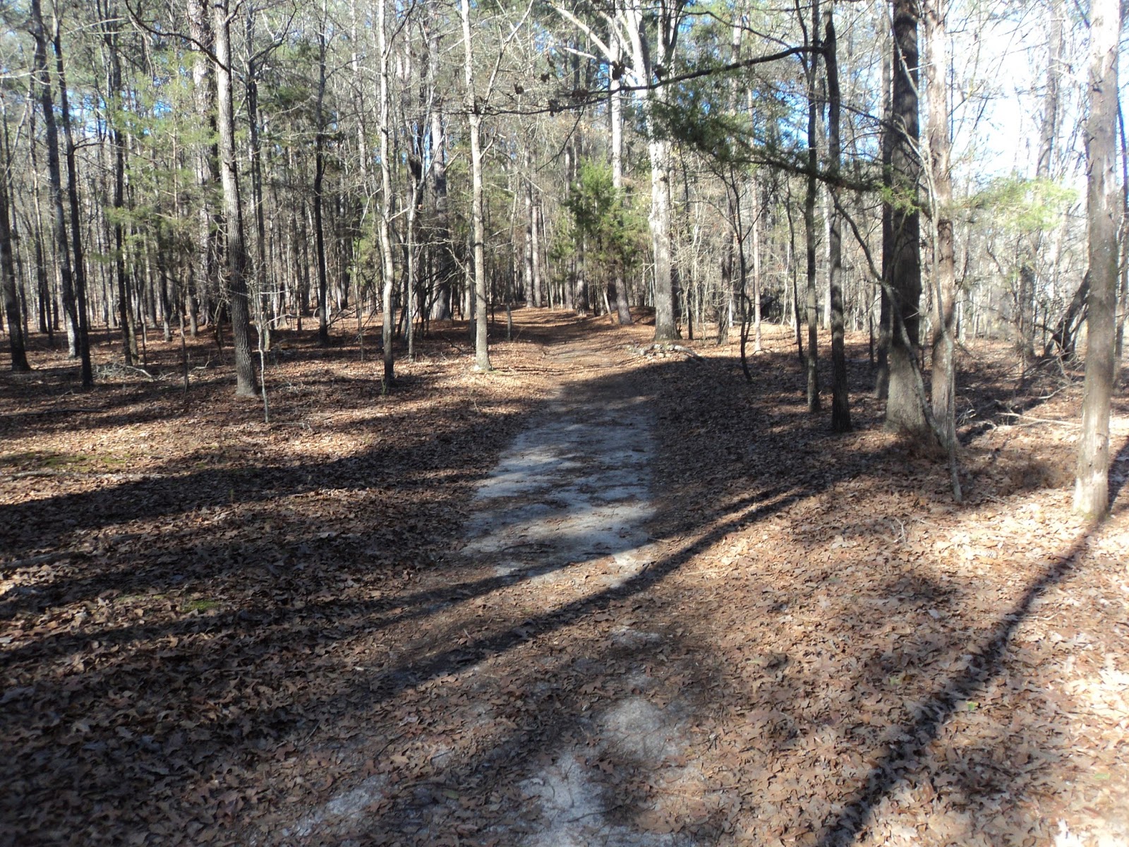 |
| Hiking on the old road |
A swamp
forest that had standing water on my visit appears on the left as you approach
the southern tip of this peninsula. At
0.5 miles, the trail splits to form its loop.
A double-sided white arrow painted on a tree marks this junction. For no reason, I chose to turn left and hike
the loop clockwise.
 |
| Lake Wateree |
The trail loosely
traces the perimeter of the peninsula but always stays at least 10 feet from
the lakeshore. Look for stray items that
have washed up from the lake including what appears to be an old wooden trail
bridge. A marshy area appears to the
left just before you close the loop at 1.1 miles. Retrace your steps to the parking lot to
complete the hike, making sure not to forget to turn right at the garbage can
and bench.