Thursday, June 27, 2013

Hiawatha National Forest: Little Bay de Noc (Blog Hike #390)

Trails: Bayshore and Maywood History Trails
Hike Location: Hiawatha National Forest, Little Bay de Noc Recreation Area
Geographic Location: southeast of Rapid RiverMI (45.84508, -86.98257)
Length: 1.3 miles
Difficulty: 1/10 (Easy)
Date Hiked: July 2012
Overview: A lollipop loop along Little Bay de Noc to an historic hotel site.
Hike Route Map: https://www.mappedometer.com/?maproute=940983
Photo Highlight:

Directions to the trailhead: From Rapid River, take US 2 east 3.1 miles to CR 513.  Turn right on CR 513.  Follow CR 513 5.4 miles to the Little Bay de Noc boat landing road.  Turn right to access the boat landing, where the hike starts.

The hike: Jutting off the northeast corner of Green Bay near where it empties into Lake Michigan lie two large finger-type inlets: Big Bay de Noc and Little Bay de Noc.  The bays’ names come from the Chippewa Indian word for bear.  Between the two bays lies a 10-mile-wide peninsula that contains numerous scenic and recreational sites, the most interesting of which is the Peninsula Point Lighthouse located at the end of CR 513 18 miles south of US 2.
            Established only in 1990, Hiawatha National Forest’s Little Bay de Noc Recreation Area lies on the west side of the peninsula.  The recreation area contains the Hunters Point Boat Ramp on the bay and a small campground, and several hiking trails go through the recreation area.  The route described here takes visitors to the site of the historic Maywood Hotel.
Trailhead for Bayshore Trail
            The signed Bayshore Trail starts on the left side of the boat ramp road as you are walking toward the boat ramp.  The trail immediately enters the dense, young forest and heads south parallel to the bay on the right.  At only 0.1 miles, you pass through a grassy picnic area that lies adjacent to the campground.  A sandy beach along the bay sits to the right here.
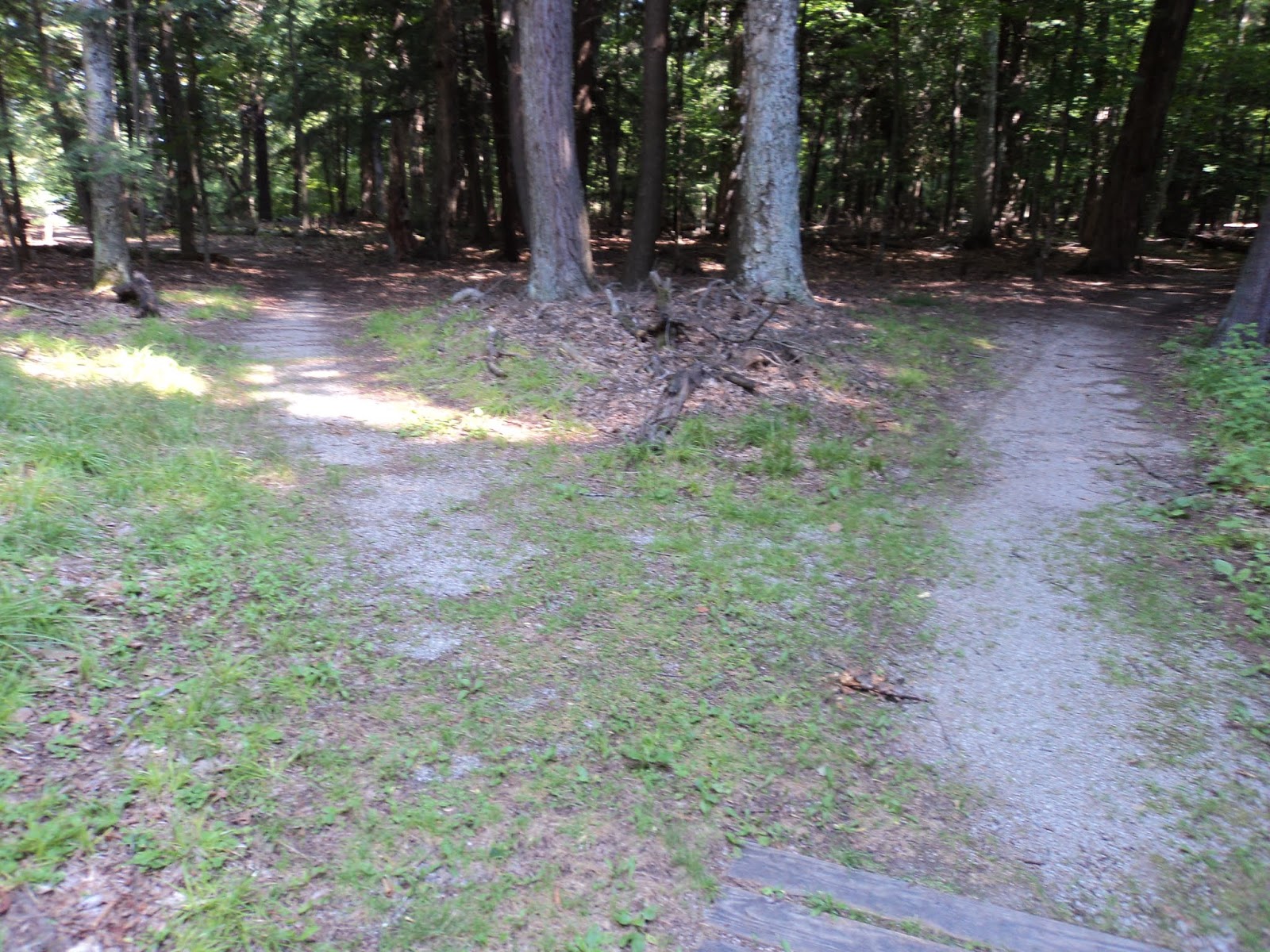
            On the other side of the picnic area, the trail reenters the forest.  The sign marking this point was somewhat obscured by vegetation on my visit, but if you walk directly across the picnic area you can hardly miss the trail.  Over the next 0.3 miles several side trails exit left for the campground and right for the bay.  All of these trails quickly dead-end, so you should continue straight on the main trail.
View of Little Bay de Noc
            At 0.4 miles, the Bayshore Trail intersects the Maywood History Trail, which goes left and right.  This hike will turn left here to hike the Maywood History Trail clockwise and use the right trail as a return route.  The Maywood History Trail is a wide packed-gravel trail that tours the grounds of the historic Maywood Hotel.  Interpretive signs tell of life at Maywood in the early 1900’s.
Maywood History Trail
            The obvious trail curves to the right as it heads around the east side of the hotel site.  You should notice the larger trees and more open understory here compared to the surrounding area.  Where the Bayshore Trail exits to the south, stay right to remain on the Maywood History Trail.  Another trail, the White Pine Trail, also leaves from this area, but it was rather overgrown on my visit.
            0.8 miles into the hike, you reach the signed site of the Maywood Hotel.  Built in 1904, the Maywood Hotel was a popular summer retreat for wealthy families from cities such as Chicago.  There were no roads in this area at that time, so visitors would arrive by boat.  The hotel was famous for its aquatic recreation and restaurant.  Today, only the foundation remains.  Take a minute to imagine what this area would have looked like in its heyday.
South end of Maywood History Trail
            In another 0.1 miles, you close the loop of the Maywood History Trail.  Angle softly left to return to the Bayshore Trail.  Retracing your steps 0.4 miles along the Bayshore Trail will return you to the boat ramp area to complete the hike.

No comments:

Post a Comment