Trail: Catman Road Trail
Hike Location: Gulf State Park
Geographic Location: Orange Beach , AL (30.28065, -87.58153)
Length: 5.6 miles round-trip
Difficulty: 2/10 (Easy)
Dates Hiked: October 2007, January 2016
Overview: A flat, easy hike on paved trail featuring coastal scrubland.
Park Information: http://www.alapark.com/gulf-state-park
Directions to the trailhead: From downtown Orange Beach (east of the state park), take SR 161 north 0.9 miles to Marina Road ; there is a traffic light at this intersection. Turn left to enter the parking lot for the Catman Road Trailhead. The other end of this trail can be accessed at the Orange Beach Sportsplex. To reach the Sportsplex, continue north on SR 161 another 0.8 miles to SR 180 and turn left on SR 180. Take SR 180 west 2 miles to the Sportsplex entrance on the left. The trail leaves from the rear of the second large blacktop parking lot.
The hike: For obvious reasons Gulf State Park Alabama . While most of the Alabama Gulf Coast
In addition to the main attraction, the park also has several campgrounds, a cabin area, a lodge, and a golf course. All of these accommodations are usually booked many weeks in advance during the summer, so make sure to make reservations well ahead of time if you plan to use the park’s sleeping accommodations. Better yet, plan a visit in the fall or winter when temperatures are still fairly warm but the crowds are much smaller.
While the hiking trails at Gulf State Park
Fortunately, the park chose to turn this adversity into opportunity, and upon my visit in fall of 2007, a new, larger system of trails was under construction. While the previous trail system consisted entirely of short nature trails, the new trail system will link the state park with the nearby county recreation areas and provide the opportunity for longer backpack hikes. The first section of the new trail to open is the Catman Road Trail described here. Make sure to keep an eye on this park in the near future and watch the new trail system develop.
 |
| Marina Road trailhead |
The first 0.6 miles of trail are dead straight, as the trail follows the old roadbed of what used to be a westward portion of Marina Road . An old road sign can be seen to the left of the trail about 200 feet from the trailhead. For the first 1.5 miles, wooden mile markers will mark your progress at quarter-mile intervals. The trail stays in the shade about half of the time and passes through the sun for the other half. The prevalence of sun on this trail is another reason to plan your visit during the cooler offseason.
 |
| Catman Road Trail |
 |
| Picnic Pavilion |
The trail is more interesting after it leaves the old road because it features more curves, newer pavement, and more marshland. At 2.75 miles, the Catman Road Trail exits right for the Orange Beach Sportsplex. The Gulf Oak Ridge Trail continues straight, but it is still under construction and, at the time of my visit, ends literally in the middle of nowhere after another 0.75 miles. Eventually the Gulf Oak Ridge Trail will proceed another 3 miles and provide the trail link to the golf course, campground, and cabin area of the park. For now, you can decide where to turn around, but you should continue at least to the next boardwalk, which is the longest boardwalk in the current trail system. Once you have explored to your content, either find your car shuttle at the Sportsplex, or turn around and retrace your steps back to the Marina Road Trailhead to complete the hike.
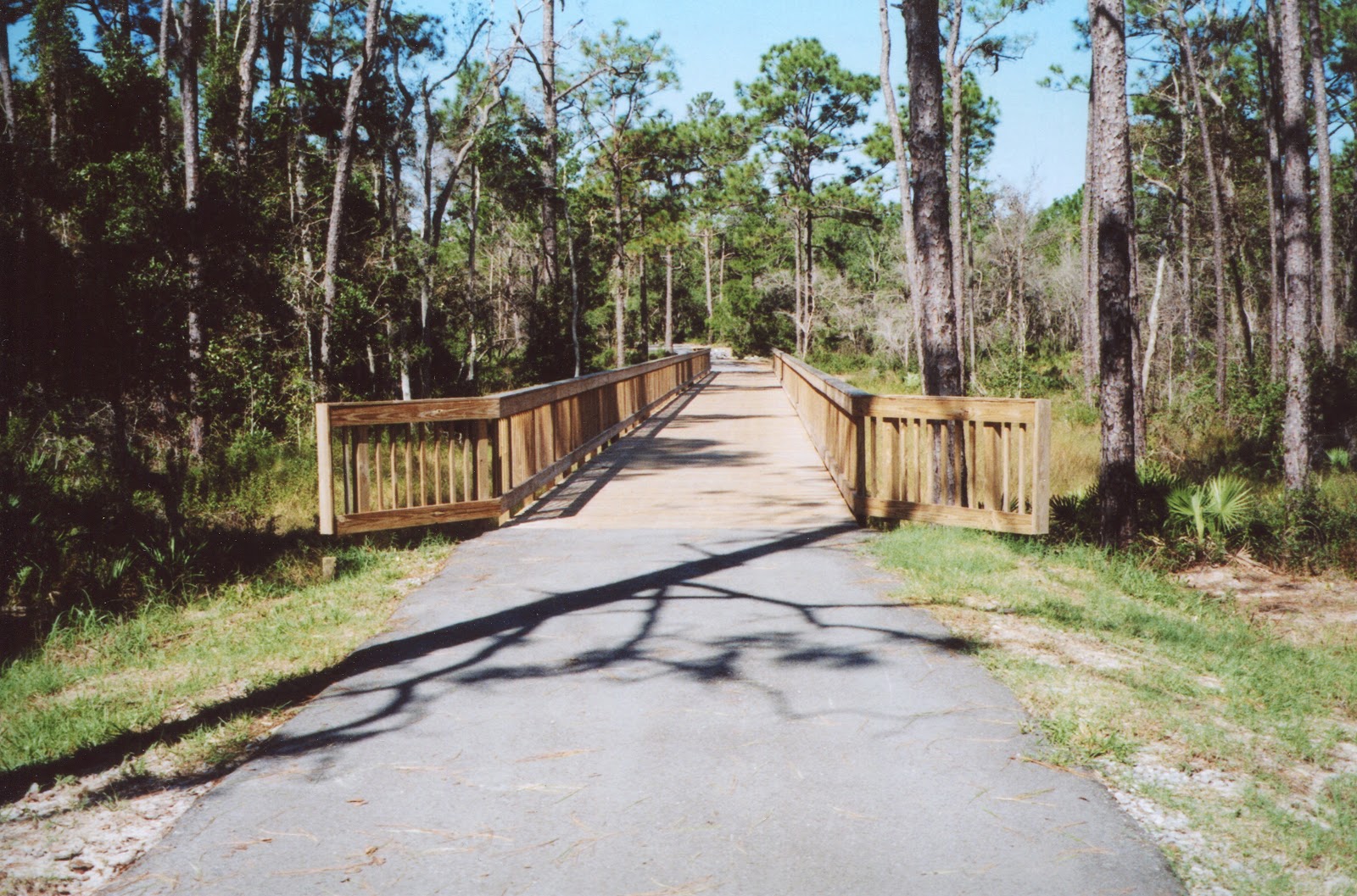 |
| Bridge on Catman Road Trail |
No comments:
Post a Comment