Trail: (unnamed)
Hike Location: Broad River Wildlife Management Area
Geographic Location: northeast of Danielsville , GA (34.18603, -83.14354)
Length: 1.4 miles
Difficulty: 1/10 (Easy)
Dates Hiked: February 2006, November 2012
Overview: An easy walk along an old roadbed above the Broad River .
Area Information: https://georgiawildlife.com/broad-river-wma
Hike Route Map: https://www.mappedometer.com/?maproute=720364
Photo Highlight:

Area Information: https://georgiawildlife.com/broad-river-wma
Hike Route Map: https://www.mappedometer.com/?maproute=720364
Photo Highlight:
Directions to the trailhead: From Danielsville, take US 29 north 2 miles to SR 281. Turn right on SR 281. After SR 281 crosses the Broad River , continue 0.5 miles to a gravel cul-de-sac at a sign marking the recreation area. Park in this cul-de-sac.
The hike: Located 30 minutes northeast of Athens , the 280 acre Broad River Wildlife Management Area (formerly known as the Broad River Natural Area) protects 2.5 miles of the north bank of its namesake. Managed by the Georgia Department of Natural Resources, the tract remains undeveloped and provides prime territory for hunting and fishing in season.
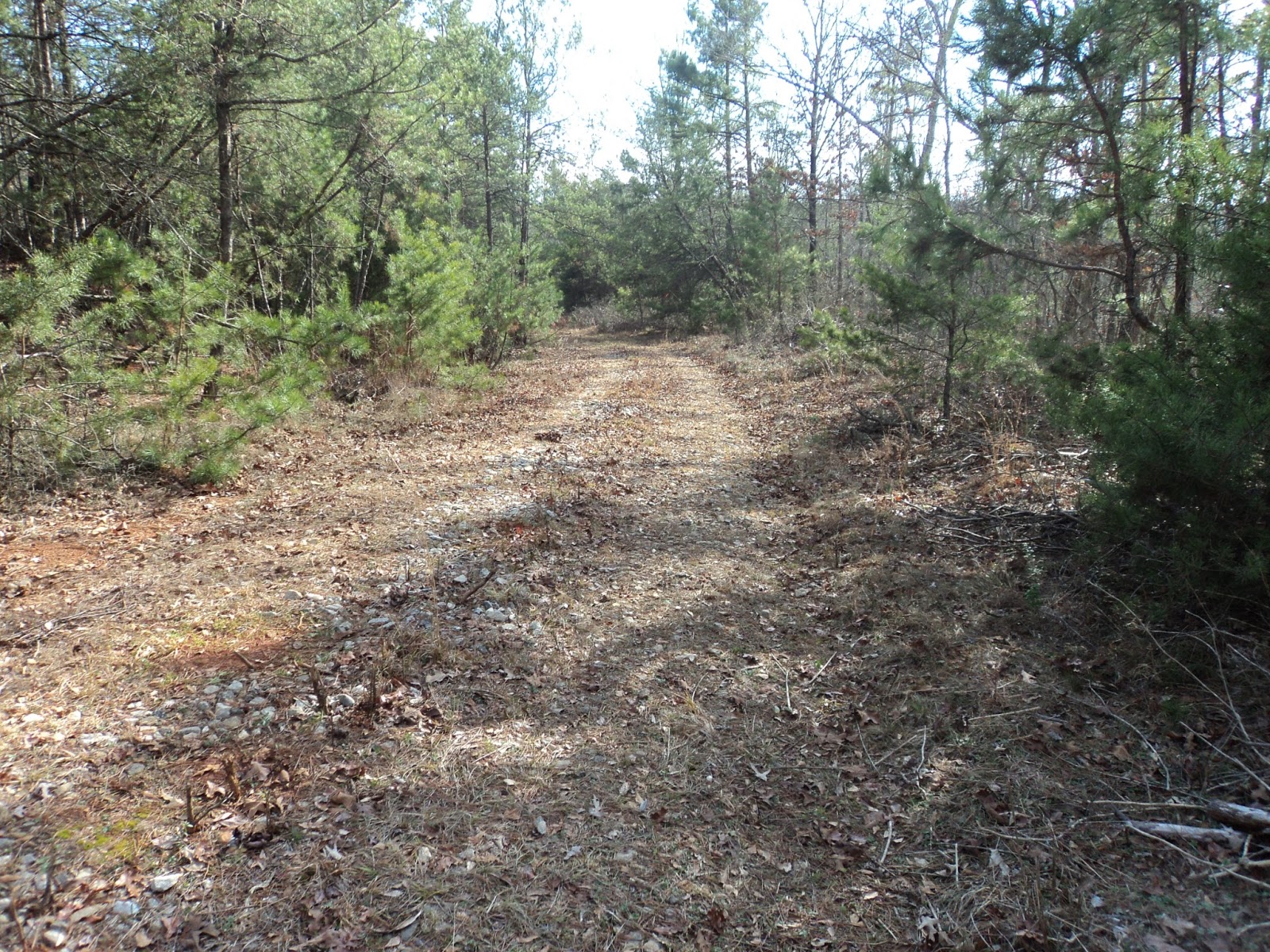
While hunting season is not in effect, the paths through the area can be used for hiking. In particular, an old gravel road that leads off of SR 281 makes for a nice exploratory trek. The gravel and firm ground underfoot makes this trail more passable when other trails are too muddy. Use this hike to stay in condition during the offseason.
 |
| Vehicle gate at trailhead |
|
| Trail curves left |
The further you follow the road, the more encumbered it becomes. Several full-sized pine trees have been allowed to grow in the middle of the trail that must be negotiated, and a couple of steep ravines must be crossed without the aid of a bridge. When the going gets tough enough for you, turn around and retrace your steps back to your car to complete the hike.
No comments:
Post a Comment