Trail: Brissy Ridge Loop
Hike Location: Paris Mountain State Park
Geographic Location: southeast of Travelers Rest, SC (34.94068, -82.39141)
Length: 2.4 miles
Difficulty: 7/10 (Moderate/Difficult)
Date Hiked: October 2011
Overview: A steep descent to Buckhorn Creek followed by a moderate climb and an easy ridgetop walk.
Park Information: https://southcarolinaparks.com/paris-mountain
Hike Route Map: https://www.mappedometer.com/?maproute=723733
Photo Highlight:

Hike Route Map: https://www.mappedometer.com/?maproute=723733
Photo Highlight:

Directions to the trailhead: On the north side of Greenville , take US 25 to State Park Road ; there is a traffic light, Wal-Mart, and Paris Mountain State Park State Park Road . Take State Park Road 9 miles to the signed state park entrance on the left. Take a soft left to enter the park. Pay the nominal entrance fee and remain on the park’s only road as it passes the campground entrance on the left. The Brissy Ridge trailhead is located on the main park road at the very top of the mountain.
The hike: For my general comments on Paris Mountain State Park Camp Buckhorn Buckhorn Lake
 |
| Trailhead |
The Brissy Ridge Trail forms a loop through the trailhead parking area, so you could start in either direction. To get the hardest hiking over with first, I chose to hike the loop counterclockwise by starting at the rear of the parking area at a brown wooden sign that reads, “Brissy Ridge Trail, foot traffic only.” The single-track yellow-blazed trail parallels the park road for its first few hundred feet.
Very quickly a spur trail signed “to parking area” exits to the right. This trail does not take you to the main parking area but to a supplementary parking area located on the park road. Many parks make existing parking areas larger when they need more vehicle space, but this park has chosen to build small supplementary parking areas and link them together with spur trails. The system seemed to be working well on my visit.
Very quickly a spur trail signed “to parking area” exits to the right. This trail does not take you to the main parking area but to a supplementary parking area located on the park road. Many parks make existing parking areas larger when they need more vehicle space, but this park has chosen to build small supplementary parking areas and link them together with spur trails. The system seemed to be working well on my visit.
 |
| Steep switchbacks |
Past the spur trail, the Brissy Ridge Trail curves left and descends to a small rhododendron-choked stream using a pair of steep switchbacks. Double paint blazes mark each turn, but the trail is well-worn, and getting lost should not be a threat. For the next 0.7 miles the trail undulates sometimes steeply as it winds along the side of the ridge. The park map tells you Buckhorn Lake
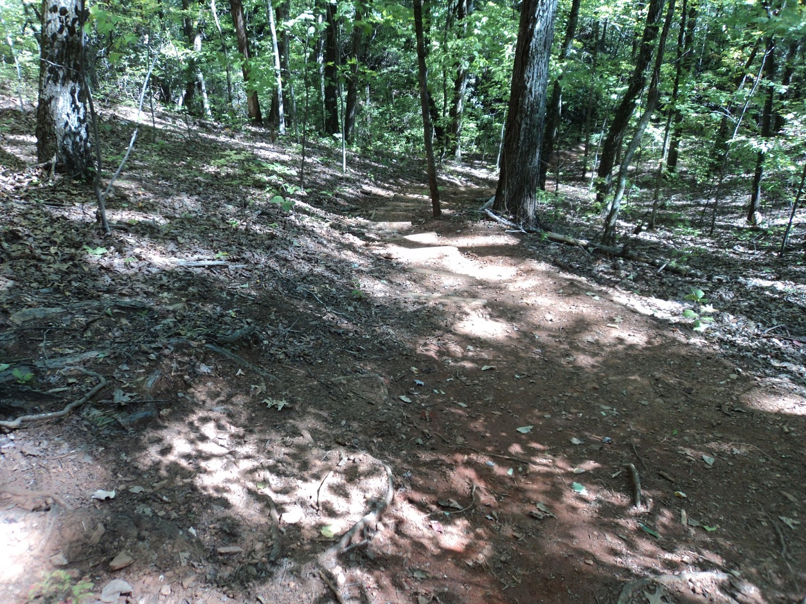 |
| Still descending |
The trail gradually arcs to the left as it climbs back to the ridgetop, gaining 220 feet of elevation over the next 0.6 miles. The trail passes under the powerline supplying electricity to the camp as it climbs. The grade is gradual to moderate for most of the duration, but the final couple hundred feet are somewhat steep. Some southern pine beetle activity can be detected near the top of this climb.
 |
| Ridgetop hiking |
|
| View from Brissy Ridge |
At 1.8 miles, the red-blazed Kanuga Trail exits to the right at another signed intersection. More of the same ridge-side walking lies ahead until, at 2.4 miles, you reach the information kiosk located near the trailhead parking area. A short walk straight ahead will return you to the main Brissy Ridge Trailhead parking area to complete the hike.
No comments:
Post a Comment