Monday, June 3, 2013

Miami University Natural Areas: Reinhart Reserve Loop (Blog Hike #35)

Trail: Reinhart Reserve Loop
Hike Location: Miami University Natural Areas Trail System
Geographic Location: east side of OxfordOH (39.52208,-84.70300)
Length: 1.8 miles
Difficulty: 4/10 (Easy/Moderate)
Dates Hiked: December 2003, June 2015
Overview: A fairly easy, enjoyable hike through some interesting succession forest.
Hike Route Map: https://www.mappedometer.com/?maproute=717273
Photo Highlight:

Directions to the trailhead: From the center of Oxford, take US 27 south to where it intersects SR 73 and turn left on SR 73.  Take SR 73 east out of Oxford to Oxford-Milford Road, a two-lane paved road that goes to the left off of SR 73 2 miles outside of Oxford.  Turn left on Oxford-Milford Rd.  Drive Oxford-Milford Rd. north about 1 mile to a small gravel parking area on the left located just before Oxford-Milford Road intersects Harris Rd.  Park in this lot.

The hike: Opened in 1995, the Reinhart Loop is one of the newest portions of the Miami University trail system.  It takes you through the land formerly owned by the Reinhart family and recently donated to the university.  It is located on the very northeast corner of Miami's property, well away from the center of campus.  Due to its location, the Reinhart Loop is not traversed as often as other parts of MUNATS.  The trail offers a fascinating and scenic walk through a wide variety of natural habitats.
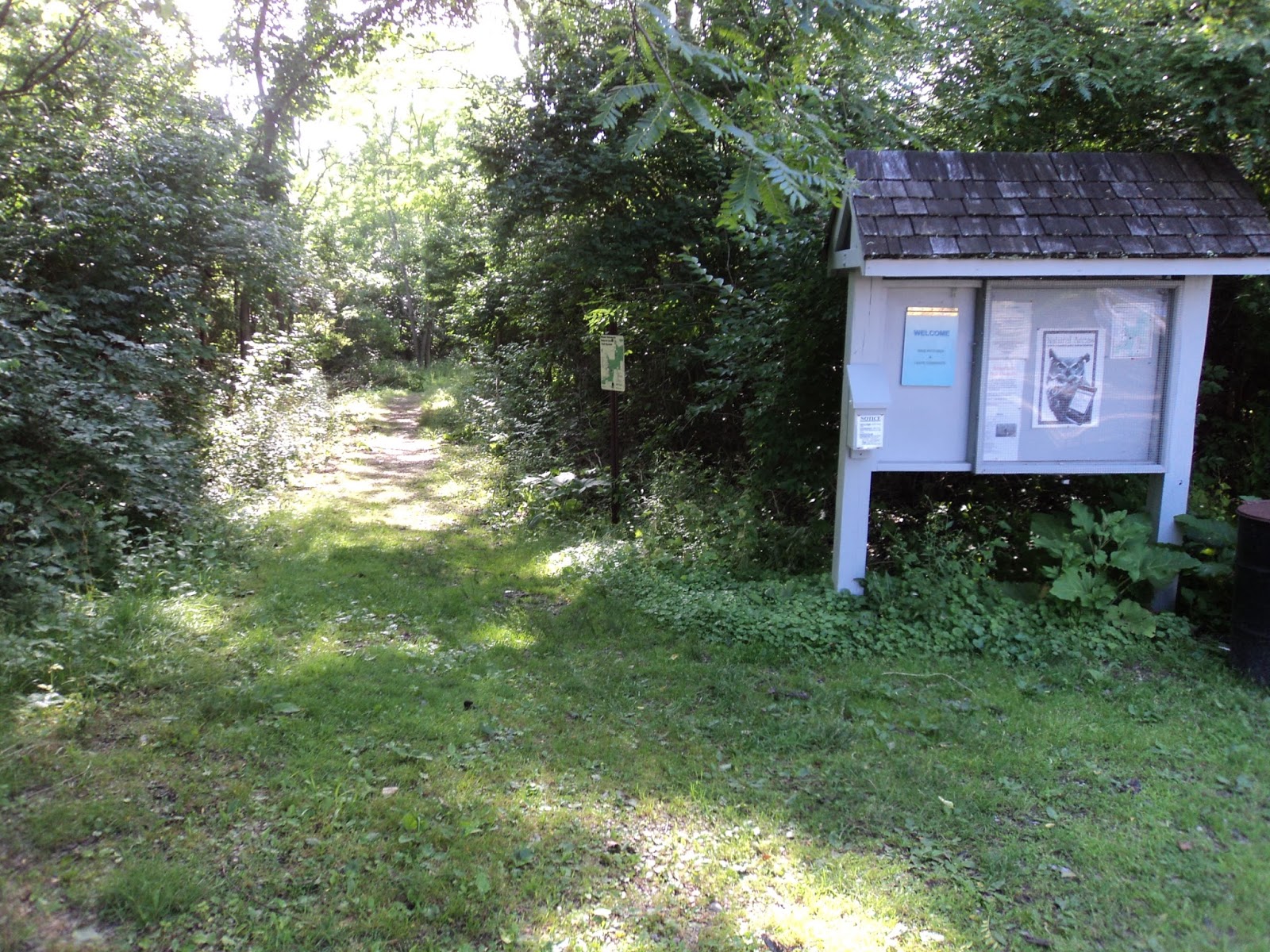
Oxford-Milford Road trailhead
            The trail starts through a gap in the wooden fence at the back of the lot and begins to descend gradually.  This section of the trail takes you through reverting field, with the scenery dominated by honeysuckles, berry briars, goldenrod, and field grass, with the occasional red cedar.  At a couple of points along the gravel trail ditches have been dug on either side of the trail in an effort keep it less muddy after a rain.  The system is working fairly well, for the most part.
            Just after the trail passes a sign that says "no swimming," an unmarked trail goes off to the right just before reaching a large pond called Long Pond.  This is actually the return portion of the Reinhart loop.  Continue straight with the spring-fed pond on the right.  This pond contains some very nice cattails during the summer.  Pass where the Bachelor Reserve East Loop enters from the left and soon turn right to cross over the dam that creates the pond.
Long Pond
            After dropping off the dam amidst some tall pines, look for a brown sign on the right side of an intersection that says "Reinhart Loop: 1.4 miles."  Turn right here to begin the Reinhart Loop as the Bachelor Reserve East Loop continues straight.  The Reinhart Loop begins through hardwood forest with a shallow ravine on the left and a hill on the right.  The trail soon turns left and drops into the ravine, crosses a small stream on a wooden bridge, and ascends steeply up the other side of the ravine. 
Departing the dam area
            Immediately after ascending from the first ravine, the trail drops into another smaller one, passing a large beech tree along the way.  Most beech trees seen along trails are scarred with people carving initials in their bark, but this one has escaped the knife so far (don't let the word out!).  The trail crosses another stream on another wooden bridge, then winds its way out of the other side of the ravine.  Turning left, the trail begins following the north side of the ravine, providing some scenic views of some of the nicest hardwood forest on the trail. 
Hiking the Reinhart Loop
            The trail shortly turns right and ascends slightly to the top of a bluff overlooking Harker's Run, a much larger stream, about 30 feet below.  The forest along the trail is of the beech-maple variety, while the forest along the creek contains some nice sycamores.  This view is one of the highlights of the hike.
            From the overlook, the trail continues to the right and soon leaves the hardwoods in favor of a red cedar forest.  The forest here has an interesting green ground cover called, alternatively, ground cedar or spleenwort.  After a short stint in the cedars, the trail returns to hardwoods, but these maples are much younger than the ones in the hardwood forest you passed through earlier.
Still hiking the Reinhart Loop
            Ignore a trail exiting to the left that connects to the Bachelor Reserve North Loop and continue straight as the Reinhart loop crosses a stream and begins to climb moderately out of the hardwoods.  The traffic of Bonham Rd. to the north and Oxford-Milford Road to the east can be heard but not seen on this section of the trail.  The trail emerges into a field populated with an occasional cedar and some ornamental prairie grass.  If the university is interested in starting a tall grass prairie, this area and the area you passed at the very beginning of the hike would make ideal spots.  The trail crosses the field, passes through one of the ravines you passed through earlier, then enters a very dense red cedar thicket. It is hard to see how all of these cedars can grow so close together without some of them getting crowding out. 
            After passing through the cedars, the trail crosses another creek, this time without the aid of a bridge. The steep banks of this creek could pose a problem when the trail is muddy.  Shortly after crossing the creek, the trail comes out beside the pond you passed on the way in.  A sign tells you to turn left to get back to the Oxford-Milford Rd. entrance.  A left turn here will complete the Reinhart Loop, causing you to arrive at the trail you entered on.  A left turn on this trail and a gentle, uphill climb will complete the hike.

No comments:

Post a Comment