Thursday, June 27, 2013

Cheboygan State Park: Blue, Green, and Black Trails (Blog Hike #392)

Trails: Blue, Green, and Black Trails
Hike Location: Cheboygan State Park
Geographic Location: east of CheboyganMI (45.66066, -84.40255)
Length: 4.1 miles
Difficulty: 4/10 (Moderate)
Date Hiked: July 2012
Overview: A lollipop loop through the sand dunes on the shore of Lake Huron.
Hike Route Map: https://www.mappedometer.com/?maproute=724126
Photo Highlight:

Directions to the trailhead: The entrance to Cheboygan State Park is located on the north side of US 23 3.8 miles south of the town of Cheboygan.  Enter the park.  Where the main park road forks, take the right fork.  Park at the hiking trailhead 1.2 miles ahead on the right.

The hike: Nobody comes to Cheboygan State Park.  I was mystified and stunned when I realized the truth of this statement.  The park is located directly on US 23, the main highway through northeast Michigan.  The park features a long stretch of beautiful, undeveloped sand dunes on Lake Huron.  Nearby resort towns Mackinac City/Island and Gaylord overflow with summer visitors.  Yet nobody comes to Cheboygan State Park, and most hiking guides do not even mention it.
            For hikers willing to buck the trend, a fabulous hiking experience awaits.  The park has its roots in the Cheboygan Point Light, a lighthouse that operated on this site from 1859 through 1930.  When the lighthouse ceased operations, the land was conveyed to the state of Michigan to establish the park.  The lighthouse does not stand today, but its foundation can be seen clearly on this hike.
            Only small areas in the park are developed, and those areas include a 76-site campground, 3 rustic cabins, and a day-use beach area.  Outside of these areas, 5 trails totaling 6.5 miles explore the old growth forest and undeveloped dunes area.  The route described here mostly stays away from the developed area to provide an excellent semi-wilderness hiking experience.
Blue Trail leaving the hiking trailhead
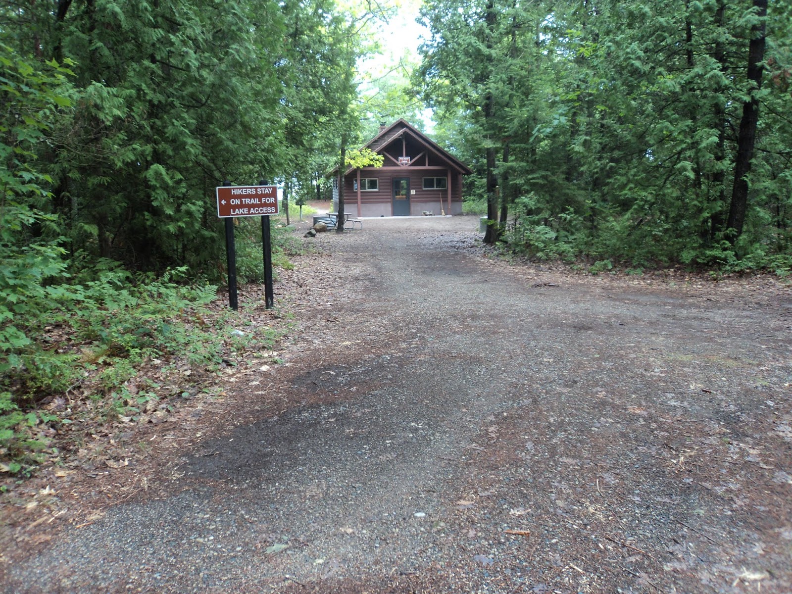
            The Blue Trail (the only trail departing from the hiking trailhead) heads into the woods behind an information board.  The forest at Cheboygan is typical northwoods forest and features a combination of pines, maples, and white cedar.  The wide gravel and dirt trail is marked with wooden posts painted blue at the top.  The trail passes over some small sandy mounds, historical shorelines of Lake Huron created thousands of years ago when the lake had much higher water levels.
Poe's Reef Cabin
            At 0.25 miles, you pass Poe’s Reef Cabin, the first of the three rustic cabins.  In another 0.1 miles, you reach Post #1.  As at most Michigan state parks, major trail intersections at Cheboygan State Park are numbered, and posts at these intersections mark the number and give a nice trail map.  This intersection forms the loop portion of this hike.  To get to the lakeshore first, this description will turn right to begin the Green Trail and use the Blue Trail continuing straight as the return route.
            At 0.4 miles, the Green Trail reaches the sand dunes along Lake Huron, where it turns left to begin heading west parallel to the lake.  The next 1.7 miles may be the most spectacular hiking in Michigan.  The trail stays just outside the forest with full lake views ahead and to the right.  Only a 30-foot grassy/reedy area separates you from the lake.  The soft sand underfoot makes the hiking more difficult than you might expect, and the barren dunes offer no protection from the sun.  On the bright side, a cool breeze wafts in from the lake.
Green Trail along Lake Huron
            At first no structures are visible, but soon 14-foot Shoals Light appears in the lake on a platform about 100 feet from the shore.  The trail also passes the other two rustic cabins tucked in the woods to the left.  1.4 miles into the hike, a short-cut trail to the Cheboygan Point Light ruins exits to the left.  Continue straight to stay on the Green Trail and see more sand dunes.
            At 2.1 miles, you reach Post #6, the end of the Green Trail and the farthest point from the trailhead.  The Black Trail is the only other trail that comes to this point.  Thus, you should turn sharply left to begin the Black Trail.  The Black Trail parallels the Green Trail but at a greater distance from the lake, which is rarely visible on the Black Trail.  Also, the sand underfoot is drier and therefore softer, so the hiking is more difficult.  In spite of the minimal elevation gain, do not underestimate the difficulty of this hike.
Black Trail in soft sand
            2.8 miles into the hike, you reach the ruins of the Cheboygan Point Light just after leaving the dunes and entering the forest.  During its heyday, the Cheboygan Point Light was one of the most important lighthouses on the Great Lakes.  Commercial vessels sailing from Lake Huron to Lake Michigan had to make a left turn here to enter the south channel of the Straits of Mackinac.  This light marked this turn and prevented ships from wrecking on the nearby shoals.  Today mature trees grow in the area, and only the foundation of the lighthouse remains.  Take a few minutes to think about what this area would have been like in the late 1800’s.
Site of Cheboygan Point Light
            Past the ruins, the trail crosses a dirt road and reaches Post #5, at which point it magically becomes the Blue Trail.  At 3.3 miles, the Red Trail exits right and heads for the campground.  Continue straight to stay on the Blue Trail.  At 3.8 miles, you return to Post #1 to close the loop.  Staying with the Blue Trail for another 0.3 miles will retrace your steps to the hiking trailhead to complete the hike.

No comments:

Post a Comment