Trail: Mina Sauk Falls Trail
Hike Location: Taum Sauk Mountain State ParkGeographic Location: southwest of Ironton, MO (37.57243, -90.72724)
Length: 3 miles
Difficulty: 9/10 (Difficult)
Date Hiked: May 2021
Overview: A wet, rocky lollipop loop past Missouri's highest point to Mina Sauk Falls.
Park Information: https://mostateparks.com/park/taum-sauk-mountain-state-park
Hike Route Map: https://www.mappedometer.com/?maproute=872947
Photo Highlight:

Hike Video:
Directions to the trailhead: From Ironton, take SR 21 south 5 miles to Highway CC and turn right on Highway CC. Drive narrow and winding Highway CC 2.9 miles to the state park entrance on the right. Turn right to enter the park, and drive the gravel park road another mile to the Highpoint Trailhead at the road's end, where this hike begins.
The hike: When most people look on a map for Missouri's highpoint, they look first in the western part of the state farthest from the Mississippi River, and this would be the correct place to look for the highpoints of neighboring Iowa or Arkansas. Yet Missouri's highpoint, 1772-foot Taum Sauk Mountain, stands in the southeastern part of Missouri only about 70 miles from the United States' largest river. The explanation for this conundrum lies in the volcanic origin of Taum Sauk Mountain: volcanic activity pushed this peak higher than the sedimentary rock that underlies most of the rest of Missouri and neighboring states.
Despite the fact that the highpoint is easily accessible by a short walk, Taum Sauk Mountain retains a remote, raw, rustic feel. The last mile of road to the parking lot is gravel, and in terms of amenities the summit parking area offers only some vault toilets, a trail register, and a nearby primitive campground. When I came here on a damp seasonally cool Wednesday morning in late May, only a handful of cars dotted the summit parking lot, and I had the highpoint all to myself.
Established only in 1991, Taum Sauk Mountain State Park protects its namesake mountain, and it is part of the 7028 acre St. Francois Mountains Natural Area. Some people just come to the park to visit Missouri's highpoint, but fit and energetic visitors will enjoy the park's other trails. The Ozark Trail, one of Missouri's best long-distance backpacking trails, passes through the park. Yet the park's best dayhike is the Mina Sauk Falls Trail, a somewhat difficult 3 mile lollipop loop that passes the state highpoint and its namesake falls. Such is the hike described here.
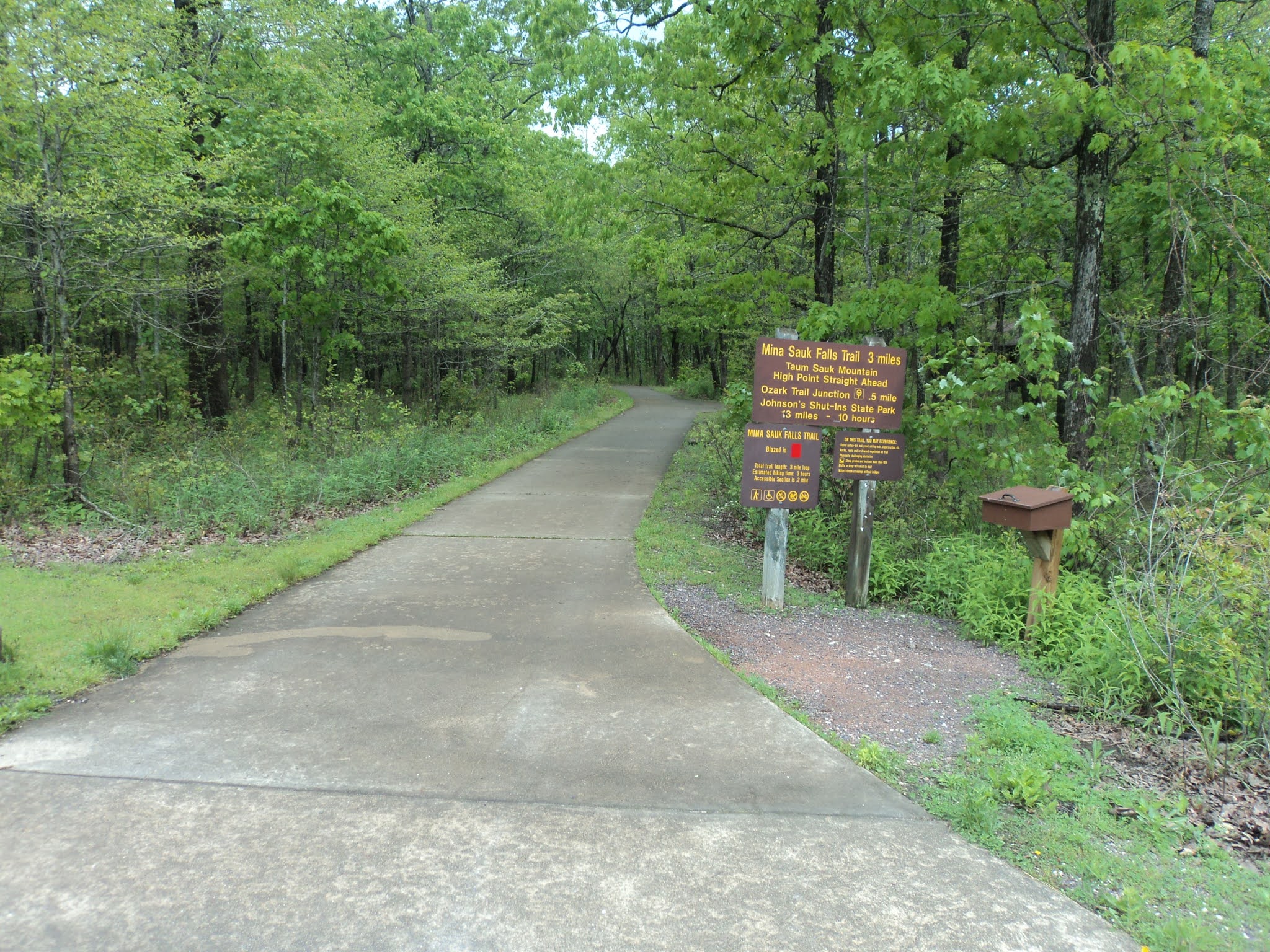 |
| Highpoint Trailhead |
 |
| Missouri's highpoint |
The manicured gravel path continues for a few hundred more feet, but soon the gravel ends and the trail gets wetter and rockier. I found much of this hike to be a wet rocky grind, and I was glad I wore my waterproof hiking boots on this hike. At 0.7 miles, you enter the wet, rocky glade on the west edge of Taum Sauk Mountain's large summit area. The pink granite bedrock is so close to the surface here that large trees cannot grow, and thus fantastic views open up to the west.
 |
| Westward view from Taum Sauk Mountain |
 |
| Wet rocky trail |
|
| Mina Sauk Falls |
 |
| A very rocky trail |
No comments:
Post a Comment