Hike Location: Monongahela National Forest, Seneca Rocks National Recreation Area
Geographic Location: east of Elkins, WV (38.83414, -79.37630)
Length: 3.6 miles
Difficulty: 8/10 (Difficult)
Date Hiked: June 2020
Overview: A steep climb on well-constructed gravel trail featuring views of and from Seneca Rocks.
Area Information: https://www.fs.usda.gov/r09/monongahela/recreation/seneca-rocks
Hike Route Map:
On The Go Map
Photo Highlight:
From the lower trailhead parking area, start by taking the black cinder path that heads north, passing an information board. Your first view of Seneca Rocks appears across the meadow to your right, and ascending to the back porch of the Seneca Rocks Discovery Center gives the best valley-level view of this natural monument. Continue north across a long boardwalk/bridge that carries you over Seneca Creek. The area's waterways were raging on my visit from heavy rains earlier in the morning, and I appreciated the well-built bridges that got me across Seneca Creek and later the Potomac River safely.
The wide gravel Seneca Rocks Trail leaves the east side of the picnic area parking lot and passes another information board before crossing the South Branch of the Potomac River on another long bridge. Where the spur trail to Roy Gap Road exits right, turn left to begin the climb up to Seneca Rocks in earnest. The climb to Seneca Rocks gains 800 vertical feet over 1.5 miles on a persistent grade. While the climb takes some effort, five switchbacks and the improved gravel trail surface make it doable for most people. Some interpretive signs provide good information about Seneca Rocks and offer additional incentive to stop and catch your breath on the climb up.
0.8 miles into the hike, you reach the steepest part of the climb, which is negotiated by some constructed wooden stairs with a hand railing. At the third switchback, you pass a wooden bench that is this hike's only opportunity to sit and rest. I had driven to the trailhead in a steady rain, but as I topped the fifth and last switchback, the sun broke through the clouds for the first time in the four days I had been in West Virginia.
At 1.8 miles, you reach the wooden observation platform located beside Seneca Rocks. From this west-facing lookout, the town of Seneca Rocks lies directly below, and waves of ridges headed by Smith Mountain on the right and Kisamore Hill on the left roll off in the distance. Some benches at the platform encourage you to sit, rest from your climb, have a trail snack, and take in the views.
Some hikers continue on an unofficial trail that leads out onto the sheer rocks, but the views do not get any better, and several people have fallen to their deaths while climbing on the rocks. Thus, I turned around and retraced my steps downhill to the lower parking lot trailhead to complete my hike. Right on cue, the rain began again exactly when I got back to parking lot.

Hike Video:
Directions to the trailhead: From Elkins, take US 33 east 35 miles to its intersection with SR 28 in the town of Seneca Rocks. Turn right at this intersection, and then 500 feet later turn left to enter the parking area for the Seneca Rocks Discovery Center, which is the trailhead for this hike. Park in the lower parking area, which was the only parking area open on my visit.
The hike: Jutting more than 800 feet above the South Branch of the Potomac River, Seneca Rocks may be the most recognizable natural landmark in all of West Virginia. The rocks are made of white/gray Tuscarora quartz, so they have a distinct bright appearance compared to the darker sandstone that underlies much of this region. Sandstone is more easily eroded than quartz, which explains why the exposed quartz stands at the top of the ridge: the surrounding sandstone got eroded away.
Seneca Rocks have been a local landmark for centuries, and the construction of the Seneca Rocks Discovery Center in 1998 unearthed evidence of two ancient villages. Moreover, the ancient Seneca Trail, a road connecting the Algonquin, Tuscarora, and Seneca nations, passed the base of the rocks as it followed the Potomac River. The Seneca Rocks Discovery Center is located near this trailhead, and it offers interesting exhibits on the area's geologic and human history. Unfortunately, the Discovery Center was closed due to the Covid-19 pandemic on my visit.
Today Seneca Rocks is the centerpiece of the Seneca Rocks National Recreation Area, which in turn is part of eastern West Virginia's 921,000 acre Monongahela National Forest. Seneca Rocks is a major destination for rock climbers, but hikers can also explore the rocks by hiking the 3-mile round-trip Seneca Rocks Trail. Combining the Seneca Rocks Trail with a short, flat journey past the Seneca Rocks Discovery Center forms the 3.6 mile out-and-back hike described here.
 |
| Trailhead at lower parking area |
|
| Valley view of Seneca Rocks |
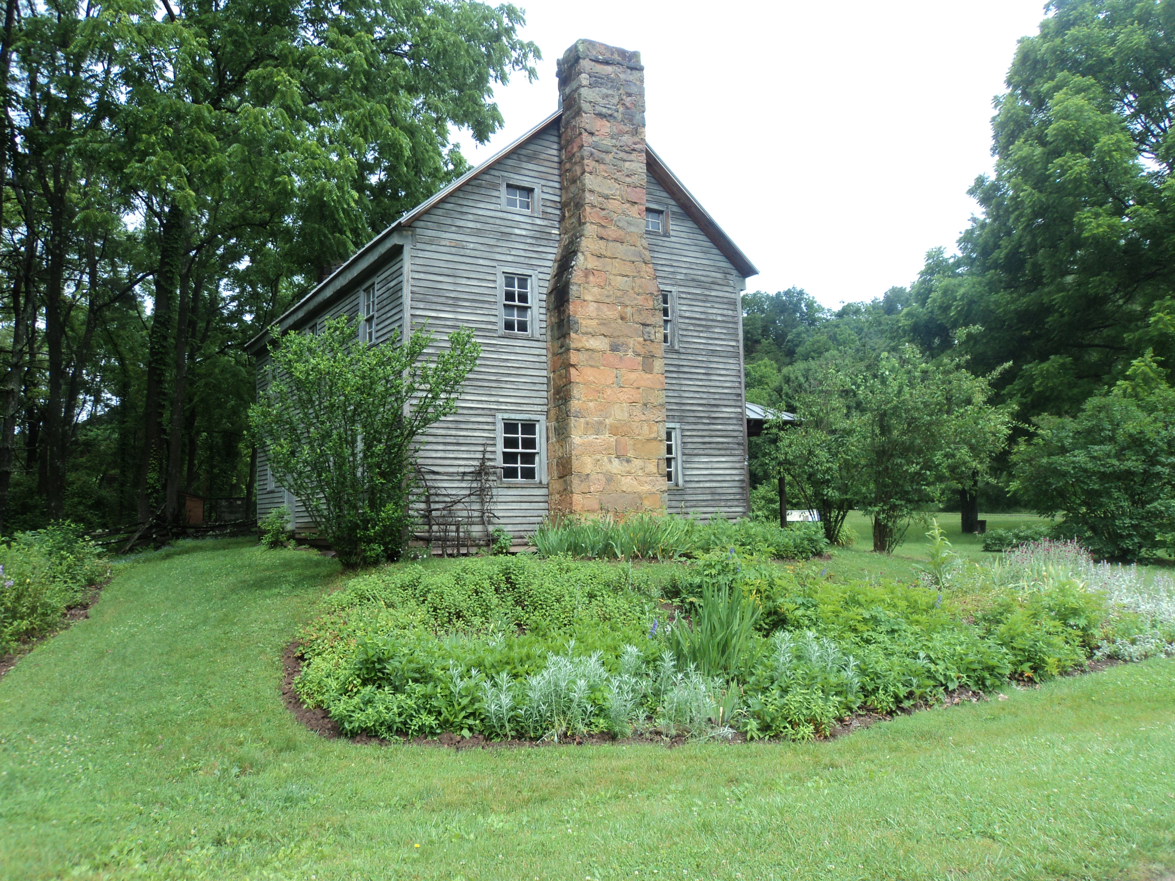 |
| Sites Homestead |
 |
| South Branch of Potomac River |
 |
| Climbing some wooden stairs |
 |
| Still climbing |
 |
| View from Seneca Rocks |
No comments:
Post a Comment