Directions to the trailhead: From downtown Oxford, take SR 732 north. Just after crossing into Preble County, about five miles north of Oxford, the park entrance road goes off to the left. Turn left here, and when the road forks, go to the right. Pass the park office and the beach and come to the golf course. While the golf course is on the right, look for the parking lot for the Blue Heron Trail on the left. Park here.
The hike: For my comments on HuestonWoodsState Park, see Sycamore Trail description. This hike takes you through the heart of the mature forest and along ActonLake, the two areas that form the center of the state park. Thus, this hike gives you the best of what this park has to offer without pegging the difficulty meter.
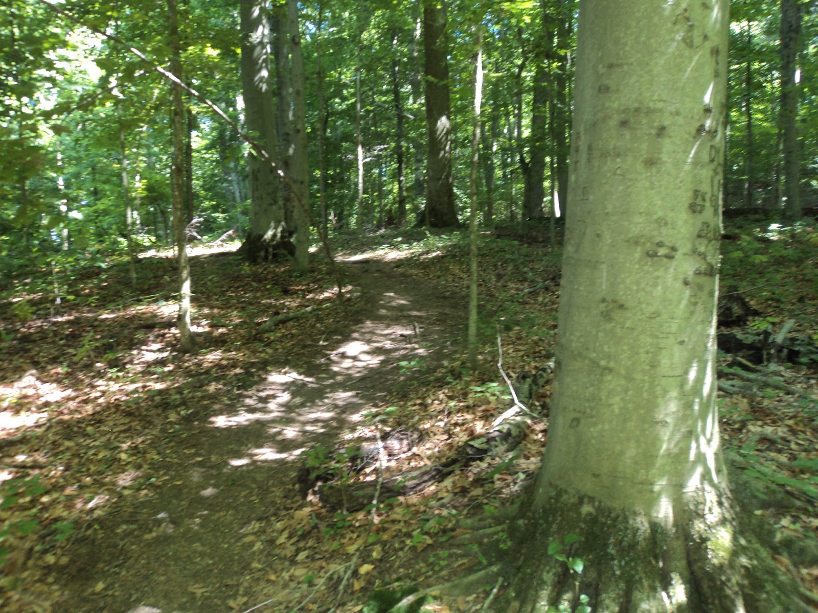
Trailhead: Blue Heron Trail
Start by taking the segment of the Blue Heron Trail that exits from the far end of the parking area; you will return on the trail that comes in to the left side of the parking area. Follow the trail downhill towards the lake through a mature beech forest, crossing a stream on stepping stones about half way down the hill. ActonLake comes into view as you approach the bottom of the hill. At the base of the hill, just before you come to a boardwalk, the unmarked West Shore Trail goes off to the right.
Descending on the Blue Heron Trail
Turn right here and begin the hike along the lake shore down toward the dam. The trail starts out rather wide, crossing one small tributary of the lake after another, descending and ascending each time. Some of the streams are crossed with the benefit of a plank of wood while others are not. Several fallen trees must be ducked under or climbed over, making the hiking more challenging. At several points gaps in the trees that stand between the trail and the lake allow you a very scenic view of the park lodge across the lake.
Acton Lake
About half way to the dam, the trail passes by a very small clearing containing a dam control station and a sign facing the other way which states "Entering Hueston Woods Nature Preserve." This sign and the white painted stripes on a couple of trees indicate that you have left the nature preserve and entered the park's land.
The hiking beyond this point becomes noticeably more rugged with more roots to negotiate. At times the trail travels perilously close to the lake, which is a few feet straight down from the edge of the now narrower trail. Also, be careful of the poison ivy which grows just beside the trail in this section. The forest is also noticeably different, with the mature beech-maple forest of the preserve giving way to younger forest containing some red cedar trees. Some remnants of wire fences along the trail along with the pines indicate that this land was farm land not too long ago.
Hiking the West Shore Trail
In late spring, cottonwood trees litter this area with small, white, puffy remnants. At two points on the trail the hiker is faced with a choice between a trail that continues along the lake and one that goes uphill to the right. I recommend, under most conditions, that you stay left. While the two trails merge again just a couple hundred feet ahead, the ones going to the right are rather steep and should be used only during times of high water when the trail along the lake is impassible in these spots.
About 1.4 miles past where you left the Blue Heron Trail, the trail climbs a steep hill to emerge at an access road. Take a left on this graveled road to see the dam. The dam is an earthen structure with a spillway that allows a continuous flow of water to run off to the east side of the dam. When done observing the dam and the wildlife there, retrace your steps along the West Shore Trail to where you left the Blue Heron Trail.
Dam area: Acton Lake
Back at this junction, continue along the West Shore Trail as it and the Blue Heron Trail share paths for a short distance. Where the Blue Heron Trail turns left to return to the parking area, continue straight on the West Shore Trail. After a short distance, the trail comes out at a picnic area beside an abandoned sugar house. The sugar house area has toilets and some places to rest if needed.
Sugar House
Continue to the far end of the adjacent parking area where the WestShore and Sugar Bush trails enter the woods. Shortly into the woods, the dirt West Shore Trail goes along the lake while the graveled Sugar Bush Trail goes left up a hill. Take the graveled path and begin ascending a long, moderate grade away from the lake.
Climbing on the Sugar Bush Trail
At the top of this hill, the West Shore Trail exits to the right and heads for the state park beach while the Sugar Bush Trail goes left. Take the Sugar Bush Trail, which in a short distance intersects the paved road connecting the sugar house to the main park road. Cross the road and walk a short distance to where the Sugar Bush Trail intersects the Blue Heron Trail. The Sugar Bush Trail continues straight ahead, while the Blue Heron Trail goes straight and turns right. Turn right on the Blue Heron Trail. From this intersection, it is only a couple hundred feet to your car in the Blue Heron parking lot.


No comments:
Post a Comment