Trails: Gorge and Flat Fork Ridge Trails
Hike Location: Caesar Creek Lake Park
Geographic Location: south of Waynesville, OH (39.48333,-84.06500)
Length: 2.2 miles
Difficulty: 6/10 (Moderate)
Dates Hiked: 1998, June 2013
Overview: A semi-loop hike through the Caesar Creek Gorge just below Caesar Creek dam.
Directions to the trailhead: From Waynesville, take SR 73 east a short distance to Clarksville Road. There is a brown sign that says "Caesar Creek Visitor Center" at this intersection. Turn right on Clarksville Rd. Just past the Visitor Center and before the dam, there is a paved road that goes off to the right and leads into the gorge. Turn right at this road and park in the parking lot at the end of the road.
The hike: Caesar Creek Lake is a long, narrow lake formed by an Army Corps of Engineers dam of Caesar Creek just above where it flows into the Little Miami River. This park and nearby Caesar Creek State Park were created along the lake's shores for purposes of recreation. Just below the dam, the creek flows through a tree-covered gorge, which is the focus of this hike.
 |
| Bridge at start of Gorge Trail |
From the parking lot, cross an old wooden and steel bridge to where the Gorge Trail begins its loop. The trail is a little easier to walk clockwise, so turn left on the Gorge Trail, which is marked with blue blazes. The trail at this point follows an old graveled roadbed and begins a long, moderate climb to the rim of the gorge.
 |
| Caesar Creek dam, as viewed from below |
Shortly after the crest of the hill, the Gorge Trail exits to the right on a dirt path. Do not take the Gorge Trail yet, but continue ahead for a few yards, heading for the Flat Fork Ridge Trail. Note that going directly to the Gorge Trail and omitting the Flat Fork Ridge Trail would reduce the hike to one mile in length. The trail, still marked in blue blazes, leaves the road and turns left, now with a field on the right and woods on the left.
After a couple hundred feet, the trail climbs an embankment to Clarksville Rd. Turn left on the road and follow it a short distance to the Flat Fork Ridge Picnic Area on the right, a paved road marked by a brown sign. Go a few hundred feet down the road and find an information board on the left. Restrooms are at this location as well. Behind the restrooms, a gravel trail marked with yellow blazes enters the rather mature forest; this is the Flat Fork Ridge Trail.
 |
| Caesar Creek Lake overlook |
Follow this trail as it first leads downhill to the upper side of the dam creating Caesar Creek Lake, then turns right and comes to a wooden platform overlooking the lake. The construction of this overlook is interesting, as holes have been created in the floor of the overlook to allow existing trees to continue to grow through the platform. Continuing on the trail, the trail goes uphill moderately past some picnic tables, then turns left as a paved trail continues straight ahead to the parking lot. In about 100 feet, the trail connects with a longer, linear trail, also marked with yellow blazes, and heads east along the hillside above the lake.
 |
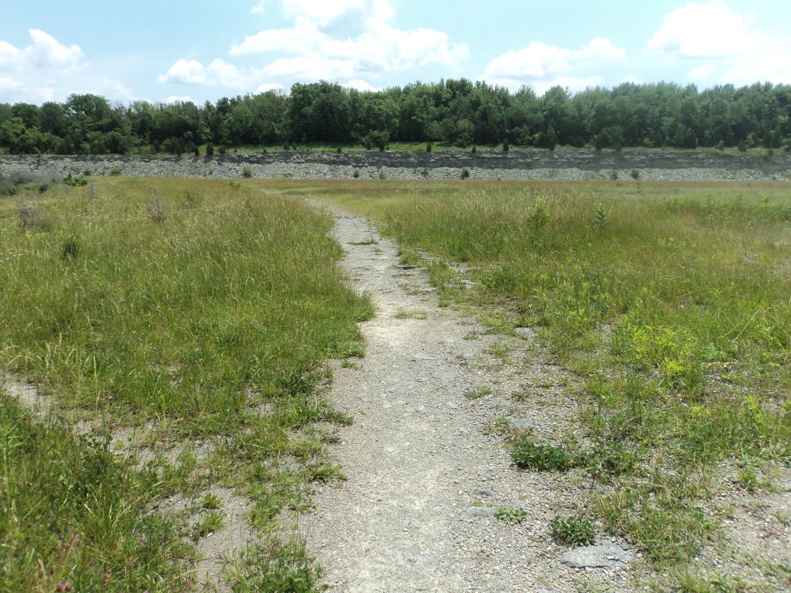
| Caesar Creek Lake spillway |
In a couple hundred yards, the trail comes out of the woods into the field that constitutes the spillway to the dam. The Flat Fork Ridge Trail ends here as the longer trail continues across the spillway and up the eastern side of the lake. Turn around here, and retrace your steps first to the parking lot, then back to Clarksville Road, and finally back down the embankment, following the blue blazes back to the Gorge Trail. Recall that this means a left on Clarksville Road, a right down the embankment, and then another right on the old roadbed.
Once back on the old road, walk a few yards to where the Gorge Trail goes off to the left. This intersection is marked with blue blazes and a brown and yellow sign that says "Gorge Trail 1 mile." Turn left here. In just a few feet, you will come to an algae-covered pond on the left that borders a field. This is a nice place for insect and bullfrog observing. Continuing on the Gorge Trail, the trail follows along the edge of the field, then enters the woods by meandering to the right. After a short but very steep climb, the trail runs along the edge of the rim, affording nice views straight down into the gorge. A bench shortly after the climb allows the hiker to sit and absorb the view.
 |
| Algae-covered pond |
The treadway turns to mulch and makes a sweeping left turn along with the gorge rim. A couple hundred feet later, the trail forks, with the left fork staying on the rim and the right heading downhill into the gorge. Take the right fork, as the left one leads to the spillway, where you were on the Flat Fork Ridge Trail a mile ago. The right fork makes a sharp right turn, then descends into the gorge using steps to compensate for the steep grade. Caesar Creek is straight ahead, and there is another smaller creek on the left. When I was here in the dry summer months, this creek was completely dry, but I suspect from the numerous rocks in and the width of the creek bed that it would be a different story in the spring.
 |
| Wooden steps descending into the gorge |
At the bottom of the hill, the mulch trail intersects the old road bed, which now runs right beside Caesar Creek. A right turn on the road bed leaves a flat walk along the creek back to the bridge and the trailhead to complete the hike.


No comments:
Post a Comment