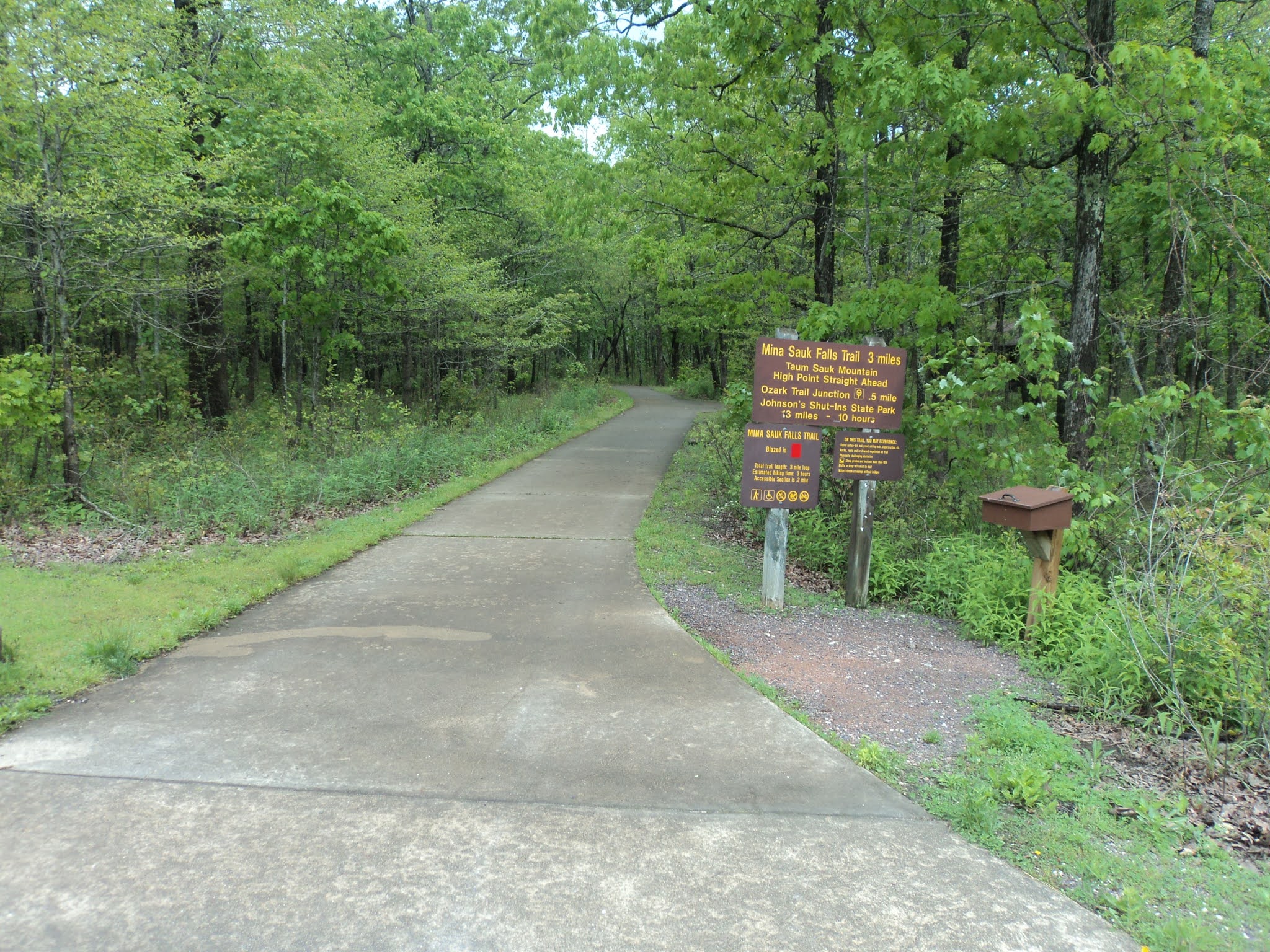
Trail: Mina Sauk Falls Trail
Hike Location: Taum Sauk Mountain State Park
Geographic Location: southwest of Ironton, MO (37.57243, -90.72724)
Length: 3 miles
Difficulty: 9/10 (Difficult)
Date Hiked: May 2021
Overview: A wet, rocky lollipop loop past Missouri's highest point to Mina Sauk Falls.
Park Information:
https://mostateparks.com/park/taum-sauk-mountain-state-park
Hike Route Map:
https://www.mappedometer.com/?maproute=872947Photo Highlight:
Directions to the trailhead: From Ironton, take SR 21 south 5 miles to Highway CC and turn right on Highway CC. Drive narrow and winding Highway CC 2.9 miles to the state park entrance on the right. Turn right to enter the park, and drive the gravel park road another mile to the Highpoint Trailhead at the road's end, where this hike begins.
The hike: When most people look on a map for Missouri's highpoint, they look first in the western part of the state farthest from the Mississippi River, and this would be the correct place to look for the highpoints of neighboring Iowa or Arkansas. Yet Missouri's highpoint, 1772-foot Taum Sauk Mountain, stands in the southeastern part of Missouri only about 70 miles from the United States' largest river. The explanation for this conundrum lies in the volcanic origin of Taum Sauk Mountain: volcanic activity pushed this peak higher than the sedimentary rock that underlies most of the rest of Missouri and neighboring states.
Despite the fact that the highpoint is easily accessible by a short walk, Taum Sauk Mountain retains a remote, raw, rustic feel. The last mile of road to the parking lot is gravel, and in terms of amenities the summit parking area offers only some vault toilets, a trail register, and a nearby primitive campground. When I came here on a damp seasonally cool Wednesday morning in late May, only a handful of cars dotted the summit parking lot, and I had the highpoint all to myself.
Established only in 1991, Taum Sauk Mountain State Park protects its namesake mountain, and it is part of the 7028 acre St. Francois Mountains Natural Area. Some people just come to the park to visit Missouri's highpoint, but fit and energetic visitors will enjoy the park's other trails. The Ozark Trail, one of Missouri's best long-distance backpacking trails, passes through the park. Yet the park's best dayhike is the Mina Sauk Falls Trail, a somewhat difficult 3 mile lollipop loop that passes the state highpoint and its namesake falls. Such is the hike described here.
 |
| Highpoint Trailhead |
Start by following the concrete path that leads past the restroom building and trail registry to the state's highpoint, which is reached in only a few hundred feet. Missouri's highpoint is a lump of rock that looks similar to other nearby lumps of rock, but careful examination yields that this lump is in fact a few inches higher than the others. Dense forest precludes any views from the highpoint, and a bench offers the opportunity to enjoy this spot.
 |
| Missouri's highpoint |
Past the highpoint, the trail surface turns to gravel. At 0.25 miles, you reach the trail intersection that forms the loop portion of this hike. As directed by a trail sign, I turned right to start on the gravel trail and used the dirt trail going left as my return route, thus hiking the loop counterclockwise.
The manicured gravel path continues for a few hundred more feet, but soon the gravel ends and the trail gets wetter and rockier. I found much of this hike to be a wet rocky grind, and I was glad I wore my waterproof hiking boots on this hike. At 0.7 miles, you enter the wet, rocky glade on the west edge of Taum Sauk Mountain's large summit area. The pink granite bedrock is so close to the surface here that large trees cannot grow, and thus fantastic views open up to the west.
 |
| Westward view from Taum Sauk Mountain |
The descent intensifies in terms of both grade and rockiness as a pair of broad switchbacks take you down the west side of the mountain. Red plastic rectangles mark the trail, and they come in handy when you are trying to find the trail among the rocks. At a couple of points the trail seemed to be a creek, slowing my already challenged progress even more.
 |
| Wet rocky trail |
At 1.4 miles, you reach a signed trail intersection at the lowest elevation on this hike, which is over 400 vertical feet below Missouri's highpoint. The Ozark Trail goes right to continue a rocky descent, but our hike on the Mina Sauk Falls Trail turns left to begin climbing on equally rocky trail. Just to the right of this intersection stands Mina Sauk Falls. True to this area's volcanic origins, Mina Sauk Falls is a tall, rocky waterfall that looks more like the falls you see in the Rocky Mountains to the west than the ones in the Appalachian Mountains to the east. Take some time to enjoy this rocky, rugged area.
 |
| Mina Sauk Falls |
The long, rocky climb back to the trailhead now begins as the Ozark and Mina Sauk Falls Trails run conjointly. For the next mile Mina Sauk Creek will stay close to the right, and more rocky waterfalls and cascades will provide aquatic entertainment. Every time you think you are almost back up to the summit area, the trail climbs a little more.
 |
| A very rocky trail |
2.4 miles into the hike, the Ozark Trail exits right. As indicated by a sign, turn left to begin the final leg of the Mina Sauk Falls Trail. The climbing is now more gradual, and wet rocky trail has been replaced by wet muddy trail. At 2.75 miles, you close the loop. A right turn will take you back past Missouri's highpoint to the trailhead to complete the hike. On your drive out, if you want more views from Taum Sauk Mountain, a roadside overlook platform gives summit views to the north that are similar to the ones you got to the west on this hike.