Trail: Spirit Trail
Hike Location: Sequoyah Bay State Park
Geographic Location: southeast of Wagoner, OK (35.88576, -95.27791)
Length: 1.4 miles
Difficulty: 1/10 (Easy)
Date Hiked: April 2023
Overview: A lollipop loop through lakeside forest.
Park Information:
https://www.travelok.com/state-parks/sequoyah-bay-state-park
Hike Route Map:
https://www.mappedometer.com/?maproute=935148Photo Highlight:
Directions to the trailhead: From the intersection of SR 51 and SR 16 on the east side of Wagoner, take SR 16 south 4.3 miles to E 100 Street N and turn left on E 100 Street N. Drive E 100 Street N east 4.7 miles to the entrance for Sequoyah Bay State Park. The gravel parking lot for the Spirit Trail is on the right just before you reach the Five Nations Monument at the main park entrance.
The hike: Often overlooked in favor of its better-amenitied cousin
Sequoyah State Park across the lake, Sequoyah Bay State Park protects 303 acres on the west shore of Fort Gibson Lake. The park offers swimming, fishing, and boating on Fort Gibson Lake and several campgrounds with 367 sites total. Some picnic areas and athletic fields round out the amenities.
 |
| Five Nations Monument |
Perhaps the park's most famous site is the Five Nations Monument, which stands near the park entrance and within sight of this trailhead. The monument displays the flags of five nations: Cherokee, Chickasaw, Choctaw, Creek, and Shawnee, all of which have lands in Oklahoma. The park has only 1 short hiking trail, the Spirit Trail described here. As its name suggests, this trail also has connections to the five nations, and its best feature is the numerous interpretive signs that describe the human and natural history this land possesses. |
| Trailhead for Spirit Trail |
The trailhead is marked with a large white sign that contains a trail map and some background information about this trail. The grass/dirt trail heads south into the woods, which is the usual cross timbers mix of oak, hickory, and red cedar with a dense understory. Where the trail splits to form its loop, I continued straight and used the trail going right as my return route, thus hiking the loop clockwise.
 |
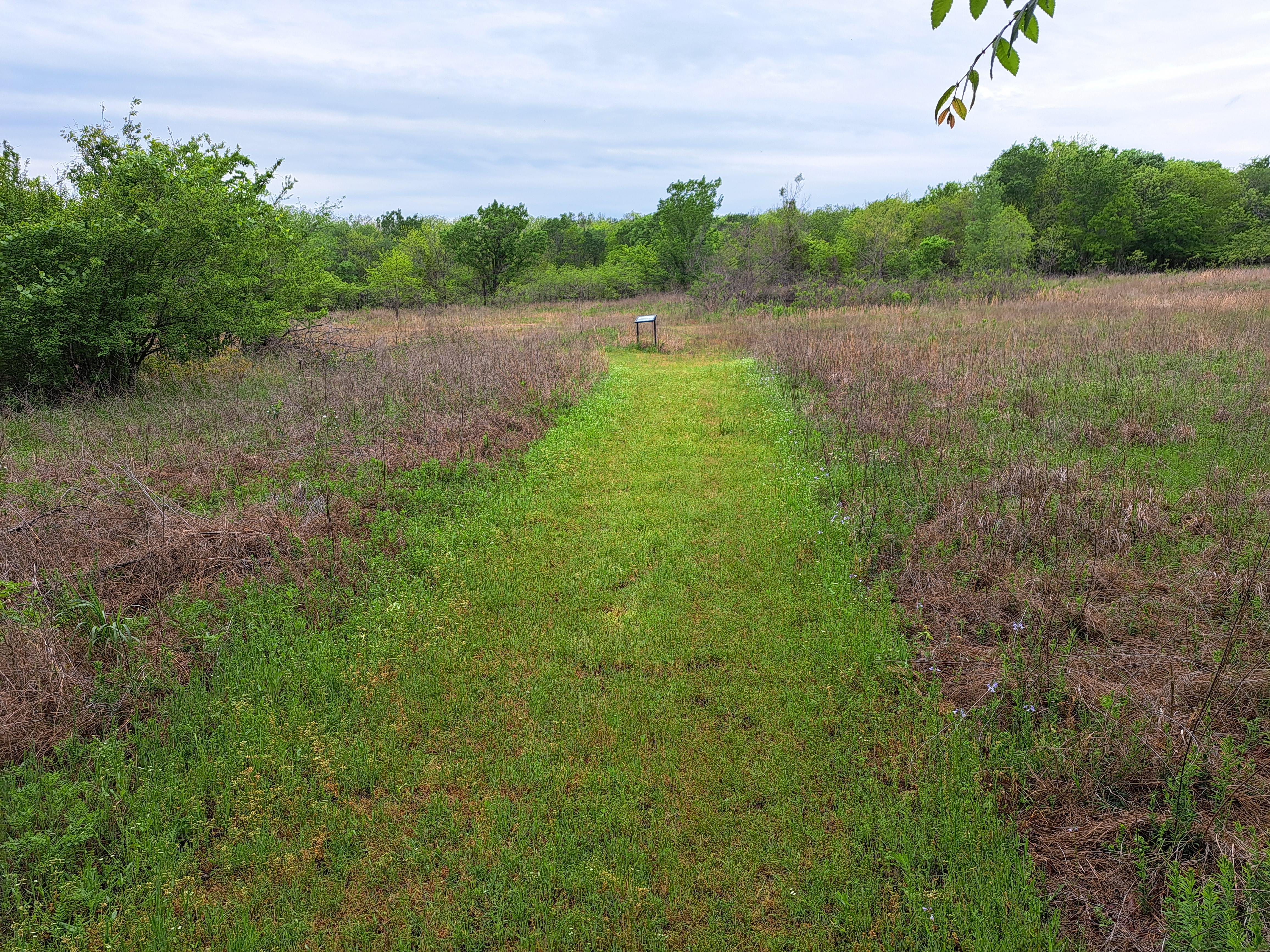
| Entering the prairie |
Quickly the trail curves right and enters a prairie area. Interpretive signs describe common plants in the grassy prairie, and I saw several deer, which tend to frequent transition areas between prairie and forest. Next the trail enters a lowland forest and crosses a couple of streams on wooden bridges. This part of the trail was rather muddy on my visit, and the grass on the trail was somewhat long here. I managed to complete the loop in spite of the trail conditions, but I was sure to check myself for ticks after I finished. |
| Hiking through the forest |
Just past 0.8 miles, a spur trail continues straight to quickly reach the road you drove in on. Turn right to continue the loop and cross a bridge made out of several logs. The final leg of trail heads southeast through more cross timbers forest and past another small prairie opening. After closing the loop, turn left to return to the parking lot and complete the hike.


No comments:
Post a Comment