Trail: Swamp Bay Trail
Hike Location: Jack Hill State Park
Geographic Location: Reidsville, GA (32.08376, -82.13557)
Length: 1.1 miles
Difficulty: 1/10 (Easy)
Date Hiked: January 2023
Overview: A double out-and-back through pine woods above Gordonia-Altamaha Lake.
Park Information: https://gastateparks.org/JackHill
Hike Route Map: https://www.mappedometer.com/?maproute=929293
Photo Highlight:
Starting from the signed trailhead near the intersection of the main park road and the golf course road, the unmarked trail heads slightly downhill. Very quickly the trail forks. We will go both ways eventually, but I chose to turn right and explore the the Swamp Bay Trail's south arm first.
The trail undulates slightly as it heads east under some large pine trees. The understory is crowded with lots of palmetto and rhododendron. Wooden and metal bridges carry you over small streams, and private houses can be seen across the park boundary to the right.
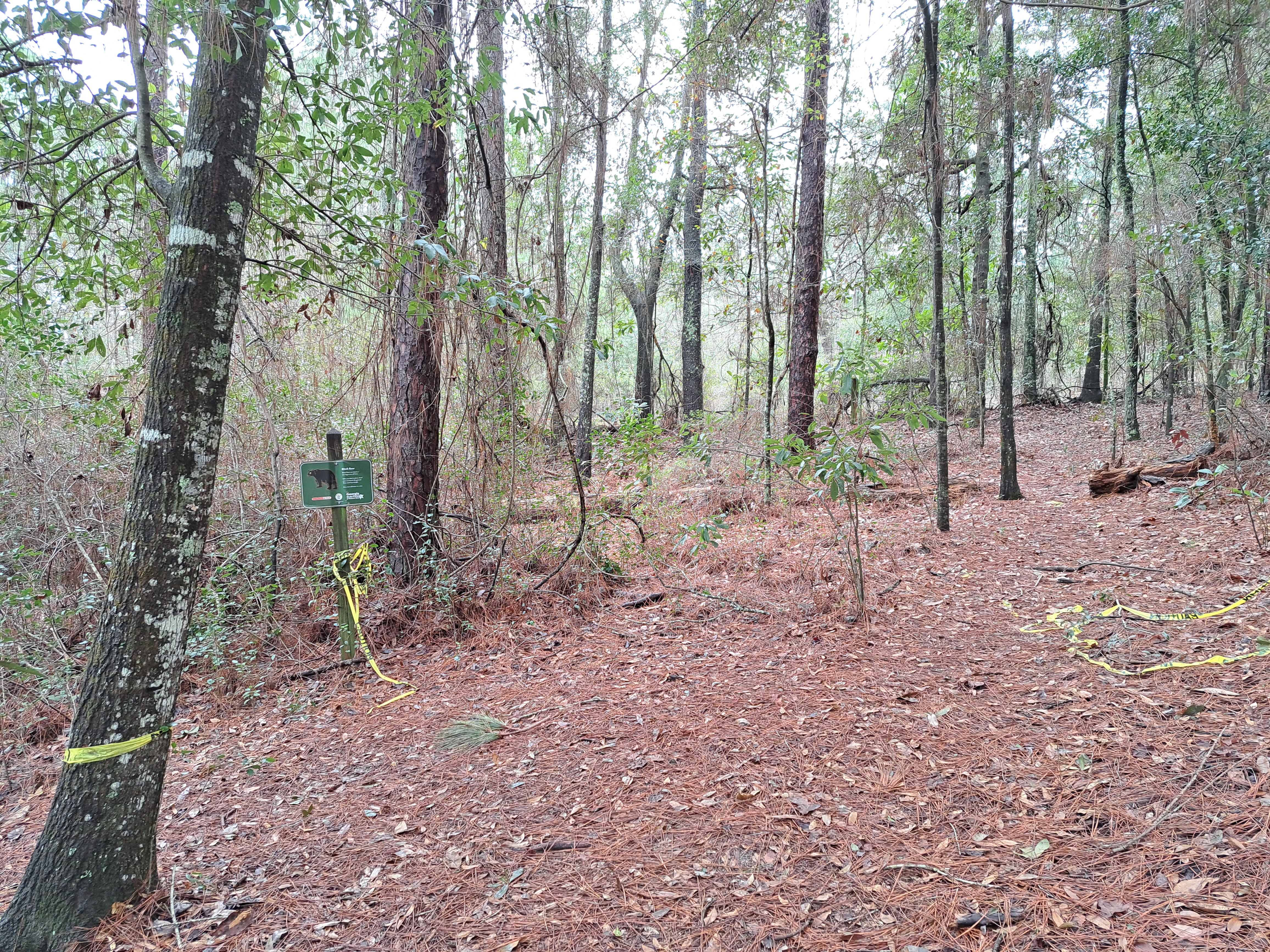
At 0.3 miles, I reached a point where the trail was closed with yellow restrictive tape. The park ranger at the Visitor Center told me they were working to clear the trail from recent storm damage, but with no obvious trail to follow I had to turn around here. Upon reaching the original trail fork, turn right to begin the north arm of the Swamp Bay Trail.
At first the north arm looks much like the south arm, but soon the backwaters of Gordonia-Altamaha Lake come into view on the right. Next the campground comes in sight uphill to the left, and finally the open waters of Gordonia-Altamaha Lake appear on the right. When you reach the campground trailhead, some nice benches invite you to sit, rest, and enjoy the lake views. After admiring the lake, turn around and retrace your steps to the trailhead to complete the hike.
Hike Location: Jack Hill State Park
Geographic Location: Reidsville, GA (32.08376, -82.13557)
Length: 1.1 miles
Difficulty: 1/10 (Easy)
Date Hiked: January 2023
Overview: A double out-and-back through pine woods above Gordonia-Altamaha Lake.
Park Information: https://gastateparks.org/JackHill
Hike Route Map: https://www.mappedometer.com/?maproute=929293
Photo Highlight:

Short Video:
Directions to the trailhead: From downtown Reidsville, take US 280 west to the second entrance for Jack Hill State Park on the right. Turn right to enter the park, pay the park entrance fee, and pass the park superintendent's house. The trailhead for the Swamp Bay Trail is on the right just before the road to the golf course exits left. There is room for a couple of cars to park in the sandy dirt area across the road from the signed trailhead.
The hike: Established in 1951 as Gordonia-Alatamaha State Park, Jack Hill State Park protects 662 acres on the highly residential west side of Reidsville. The park earned its original name due to its location near the Altamaha River and due to the gordonia tree, a rare flowering evergreen tree that grows in the park. The park's name was changed in 2020 to honor Georgia State Senator Jack Hill, a long-serving state senator who was instrumental in developing the park.
The park's most famous amenity is its golf course, which has been recently expanded from 9 to 18 holes. The park also offers a 29-site developed campground, 8 cottages, some picnic areas, a playground, and the short Swamp Bay Trail described here. The Swamp Bay Trail's route is kind of unusual: it starts near the campground and ends in the middle of the woods. Thus, while this park is not a top-tier hiking destination, it does provide a nice walk in the woods with good lake views.
 |
| Trailhead near park road |
 |
| Hiking under pine trees |
 |
| "End" of south arm |
|
| Gordonia-Altamaha Lake |
No comments:
Post a Comment