Trail: Ralph Ramey Boardwalk Trail
Hike Location: Cedar
Bog State
Geographic Location: south of Urbana ,
OH (40.05715, -83.79231)
Length: 1.1 miles
Difficulty: 1/10 (Easy)
Dates Hiked: July 1995, July 2016
Overview: A boardwalk double loop through Ohio ’s
first state nature preserve.
Preserve Information: https://ohiodnr.gov/wps/portal/gov/odnr/go-and-do/plan-a-visit/find-a-property/cedar-bog-state-nature-preserve
Hike Route Map:
On The Go Map
On The Go Map
Photo Highlight:


Directions to the trailhead: From Urbana ,
take US 68 south 4.1 miles to Woodburn Road and turn right on Woodburn
Rd. Drive Woodburn
Rd. west 1 mile to the preserve entrance on the
right, which is reached just after crossing a railroad track and the Simon
Kenton Trail, an asphalt bike trail.
Park in the preserve’s only parking lot.
The hike: Consisting of 427 acres in southern Champaign
County Springfield to Urbana . Like most of Ohio ’s
wetlands, Cedar Bog originated at the end of the last ice age, when melting
glaciers left behind water and plant seeds they had transported from points
further north. The “bog” in the
preserve’s name is technically a misnomer: the wetland on these grounds is not
a bog with acidic soil but a fen with alkaline soil.
The rare plant communities
supported by the soil’s unusual pH led the State of Ohio
to purchase this wetland in 1942, thus making Cedar Bog Ohio ’s
first nature preserve purchased with state money. In the 1970’s, an upgrade of US 68 to 4 lanes
was proposed to come through the bog.
The preserve would have been destroyed if that proposal had been
accepted, but fortunately state leaders saw the value of the unusual wetland
and nixed the highway project. In fact, US
68 through southern Champaign County remains only two
lanes wide today.
The
preserve has only one trail, a 1 mile boardwalk that forms a loop with shortcut
option through the heart of the wetland.
I have actually hiked the boardwalk’s main outer loop twice, once in
1995 before I started this blog and again in 2016 to form the basis of this
trail description. In between my visits,
a new entrance boardwalk was built in 2006 to replace a mulch path, and a new Learning
Center
On a
personal note, I was delighted to learn on my most recent visit that the bog’s
boardwalk has been renamed the Ralph Ramey Boardwalk Trail. As I wrote under the “About This Blog” tab,
Ramey’s classic book 50 Hikes in Ohio Ohio ’s
Division of Natural Areas and Preserves and a former site manager at Cedar Bog,
Ramey has done more for conservation in Ohio
than anybody else in this era. All
Ohioans owe him a great debt of gratitude for the fine state nature preserve
system Ohio has today.
 |
| Start of boardwalk at Learning center |
From the
back of the Learning Center Learning
Center
After passing through a narrow sedge
meadow, the boardwalk crosses the East Branch of Cedar Run before splitting to
form its loop. I chose to turn right
here and use the left boardwalk as my return route, thus hiking the loop
counterclockwise. The northbound
boardwalk winds first through shady swamp forest and then through sunny, grassy
sedge meadow. Some areas of the bog are completely
submerged, while other slightly higher areas appear only muddy.
|
| Sedge meadow |
 |
| Cedar forest |
At 0.2 miles, the boardwalk briefly
passes through a cedar forest, a plant community that rarely lives this far
south, before curving left to head back through the sedge meadow and then the
swamp forest. Large quantities of skunk
cabbage live in the swamp forest, which also features many ash trees. Next comes the driest part of the bog: the slightly
higher savannah traversed on the northern edge of the loop. Back in the swamp forest, the boardwalk
curves left again as it approaches the West Branch of Cedar Run.
 |
| Hiking along the West Branch of Cedar Run |
For the next 0.2 miles the
boardwalk parallels the creek, which flows on your right. Just past 0.5 miles, the shortcut boardwalk
exits to the left. Continue straight to
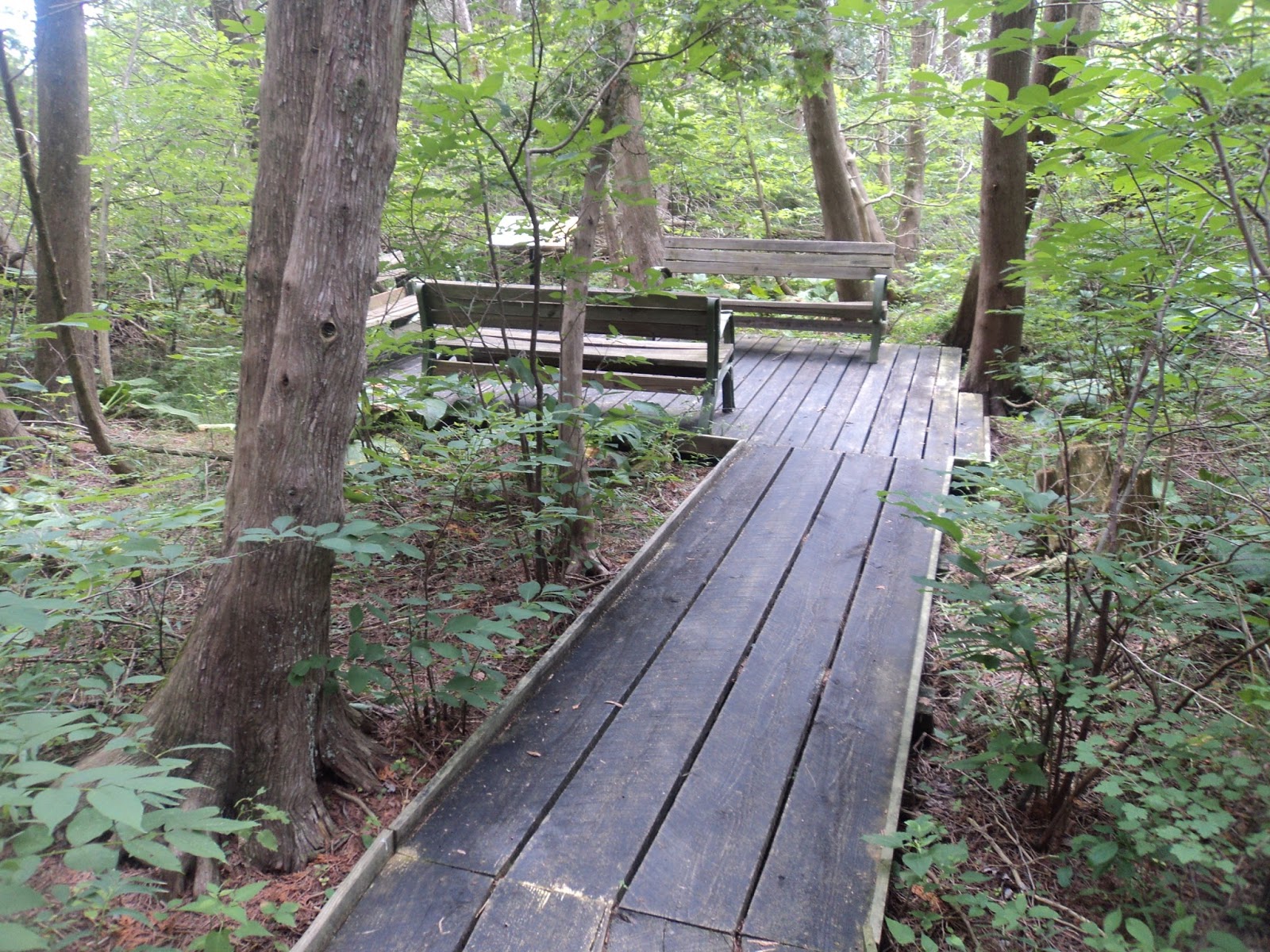
hike the full loop. A bench made out of
wood from the boardwalk that preceded this one sits at this intersection.
The remaining southern part of the
loop stays entirely in the swamp forest.
A woodpecker drilled into a tree above me as I hiked here on a warm
summer afternoon. More left turns take
you away from the West Branch of Cedar Run as the boardwalk heads east. The shortcut option enters from the left just
before the outer loop is closed. Angle
right to walk back up the entrance boardwalk to the Learning
Center
No comments:
Post a Comment