Trails: Overlook, Big Pine, and River View Trails
Hike Location: Bluestone
State Park
Geographic Location: south of Hinton , WV (37.61064, -80.93968)
Length: 1.8 miles
Difficulty: 7/10 (Moderate/Difficult)
Date Hiked: June 2014
Overview: An occasionally steep hike on primitive trail
featuring an overlook of Bluestone Lake
Park Information: https://wvstateparks.com/parks/bluestone-state-park/
Hike Route Map:
On The Go Map
On The Go Map
Photo Highlight:

Directions to the trailhead: From I-64, take exit 139
to SR 20 and go south on SR 20. Drive SR
20 to the town of Hinton , then continue
on SR 20 another 5.3 miles to Bluestone Park Road ,
which is reached just before crossing Bluestone
River
The hike: Often overlooked in favor of its bigger and
better-amenitied brother Pipestem Resort State Park just 10 miles to the south,
cozy Bluestone State Park protects 2157 acres of hilly terrain on the north
shore of Bluestone Lake. If you drove
down on SR 20 from Hinton, you passed the modern-looking concrete dam that
creates this lake on your way in. A
flood-control dam authorized in 1935 by President Roosevelt via executive order,
Bluestone Dam was completed by the U.S. Army Corps of Engineers in 1949; the
park opened in 1950. The lake and park
get their names from the blue/gray limestone outcrops that line the river
upstream.
In addition to boating and fishing
opportunities in the lake, the park features 26 cabins, 2 developed camping
areas, a tent camping area, and some picnic areas. For hikers, Bluestone
State Park
 |
| Trailhead: Overlook Trail |
Start by
walking back out to the park road. To
get the longest road walk out of the way first, turn right and walk east on the
road’s shoulder. You are looking for the
signed trailhead for the Overlook Trail, which sits on the left side of the
road 1000 feet ahead. The Overlook Trail
climbs the steep hillside in spits and spurts using several switchbacks. The trail is occasionally hard to see on the
ground, but red plastic squares and some older red paint blazes mark the way.
At 0.6
miles, you reach the ridge crest and an intersection with the Big Pine Trail. This hike will eventually turn left here to
continue climbing on the Big Pine Trail, but for now turn right to head for the
lake overlook. The trail undulates
slightly over and around some rock outcrops for just over 0.1 miles to reach
the overlook. A small opening in the
trees frames the lake, surrounding hills, and the SR 20 bridge across the
lake. The main park road lies in sight
directly below you. There are no railings
at the cliff edge, so take care where you step as you position yourself for the
best view.
|
| Bluestone Lake view from overlook |
The
Overlook Trail ends at this overlook, so next you must retrace your steps to
the intersection with the Big Pine Trail.
Continue straight on the Big Pine Trail, which climbs along the spine of
the ridge. Contrary to the trail’s name,
young maple and oak trees make up the majority of the forest on this ridge.
The trail on the ground is hard to
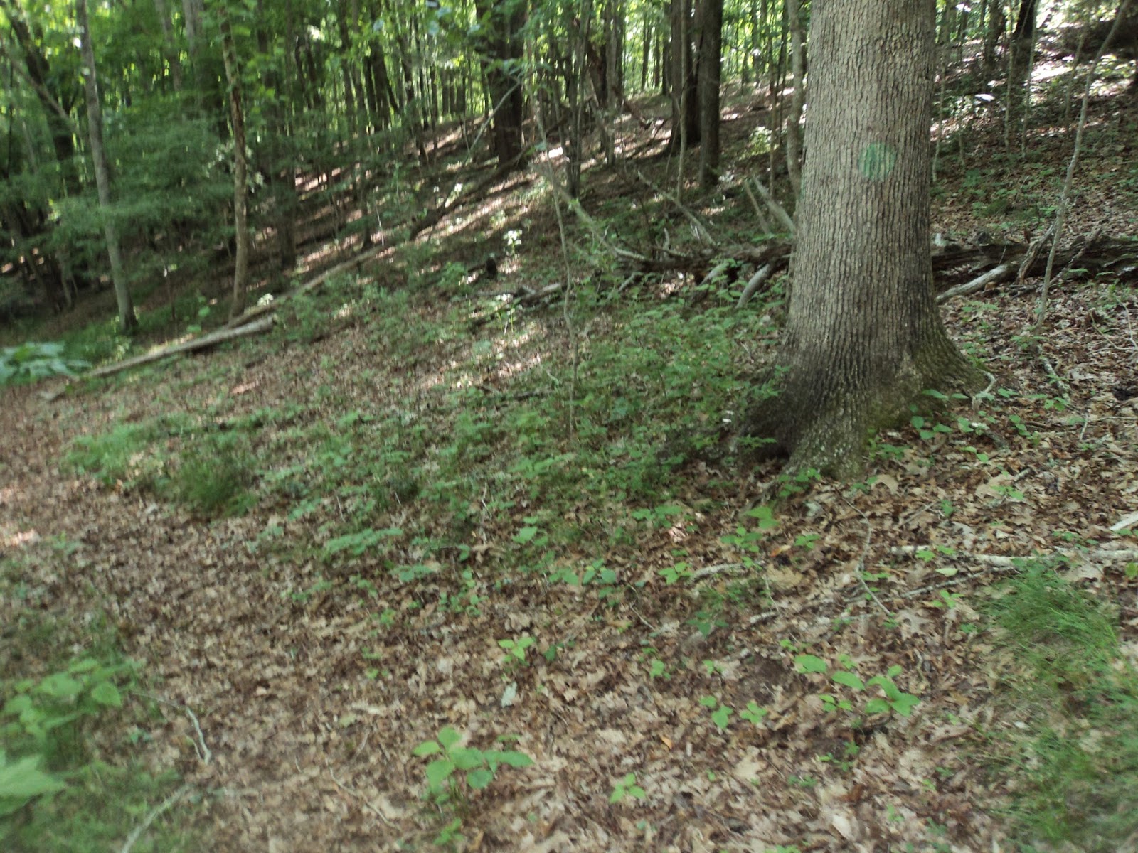
discern in places, so you will need to use the green plastic circle blazes or
old, faint green paint blazes to guide you.
In general, the trail stays very close to the ridge crest. I have noticed a trend in West Virginia state
parks: the large state resort parks have well-marked and well-trodden trails,
while the smaller parks such as this one have primitive trails that can be hard
to follow. Make of the trend what you
will, but know what you are getting into with this hike.
 |
| Hiking the Big Pine Trail |
Just shy of
1 mile, the trail crosses a power line clearing that offers decent views down either
side of the mountain. One more short,
steep climb brings you to the highest elevation on this hike, roughly 325 feet
higher than the tent camping area. Some
red paint on trees mark the park boundary; do not mistake them for blazes.
After
descending the west side of the knob into a high saddle, the white-diamond
blazed Boundary Trail exits right at 1.2 miles.
The Boundary Trail leads to the park’s cabin area by tracing around the ravine
to the right. Continue straight to stay
on the Big Pine Trail. 300 feet later,
you reach the junction for the River View Trail, which exits left. (Note: the
park map shows the Boundary Trail coming in at the wrong place.) Turn left on the River View Trail to begin
the final leg of the loop. Note that you
could continue straight on the Big Pine Trail to increase the length of this
loop, but such a route also increases the length of the road walk at the end.
 |
| Junction: Big Pine and River View Trails |
The
blue-blazed River View Trail descends on a moderate to steep grade using what
appears to be an old roadbed. At 1.6
miles, the trail leaves the old road by curving right and beginning a series of
switchbacks. Many hikers have cut these
switchbacks, but do not yield to this temptation: not only does it make the
grade steeper, but cutting switchbacks increases soil erosion.
At 1.75 miles, you reach the bottom
of the switchbacks, where the trail intersects the paved park road. This intersection marks your exit point from
the trail system. The River View Trail
continues straight across the road toward the main campground, but your car
sits in the tent camping area, which is located 200 feet down this road to your
left.
No comments:
Post a Comment