Trail: Dune Ridge Trail
Hike Location: Little Talbot Island State Park
Geographic Location: south of Amelia Island, FL (30.45846, -81.41400)
Length: 3.6 miles
Difficulty: 3/10 (Easy/Moderate)
Date Hiked: January 2023
Overview: A loop hike, half through coastal scrub dunes and half along the beach.
Park Information: https://www.floridastateparks.org/parks-and-trails/little-talbot-island-state-park
Hike Route Map:
On The Go Map
Hike Location: Little Talbot Island State Park
Geographic Location: south of Amelia Island, FL (30.45846, -81.41400)
Length: 3.6 miles
Difficulty: 3/10 (Easy/Moderate)
Date Hiked: January 2023
Overview: A loop hike, half through coastal scrub dunes and half along the beach.
Park Information: https://www.floridastateparks.org/parks-and-trails/little-talbot-island-state-park
Hike Route Map:
On The Go Map
Photo Highlight:
Because this hike forms a true loop, there are 2 ways you could start from the main beach parking area. To get the road walk over first and save the beach for last, I chose to hike the loop clockwise. To execute such a plan, pick up the asphalt bike trail as it parallels the main park road, heading out to the left of the road you just drove in on. After passing the gatehouse, the bike path crosses the road at a marked crosswalk. Instead of staying with the bike path here, continue straight to leave the asphalt and begin the sandy dirt Dune Ridge Trail. A carsonite post and an information kiosk mark this trailhead.
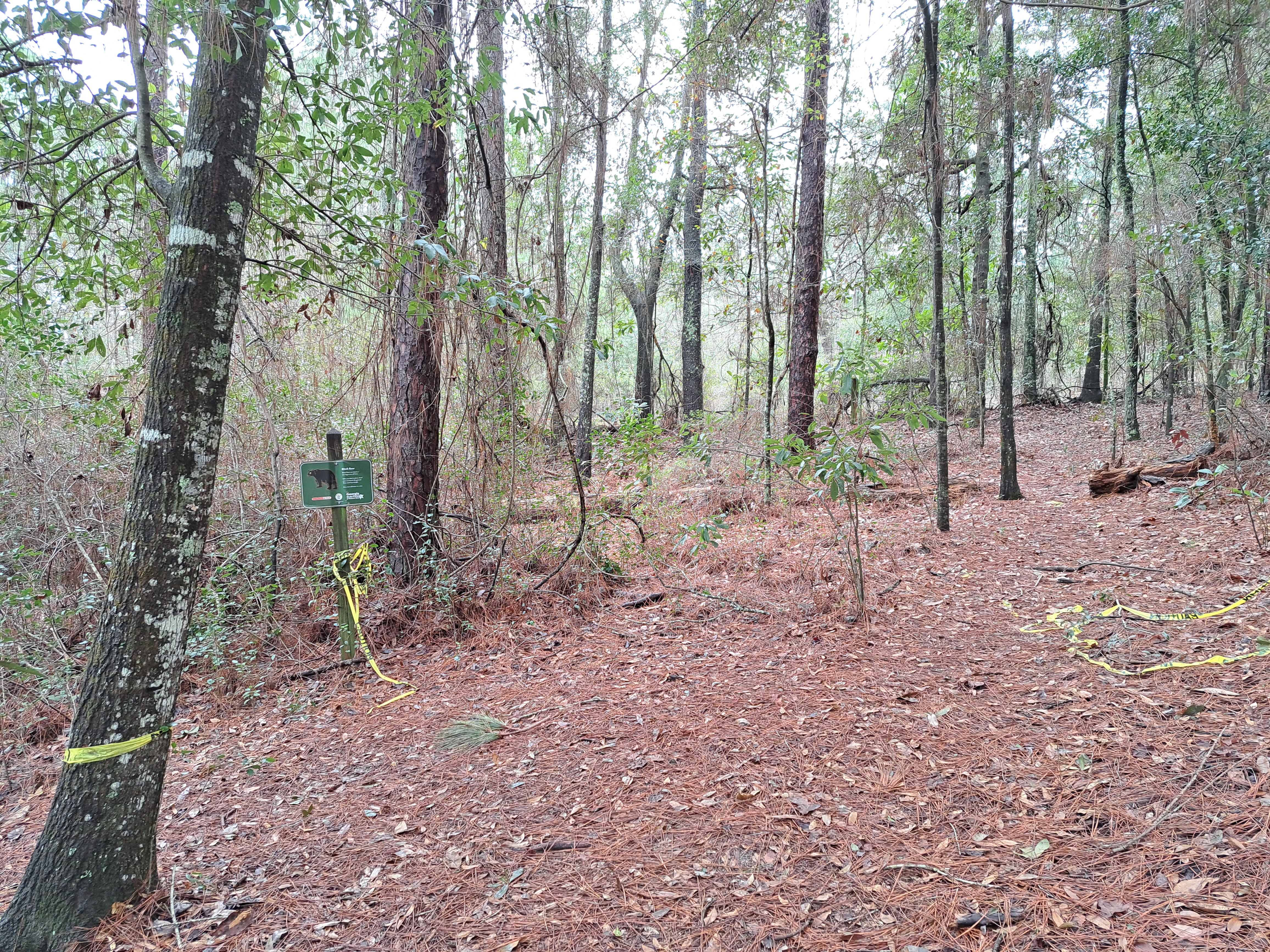
The dense forest is dominated by live oaks, cedars, and sable palm trees with a dense understory of palmettos. I heard more birds than I saw due to the greenery. Distance markers appear in 1 mile increments, and occasional benches offer opportunities to rest if needed.
1.8 miles from the beach parking lot, the trail curves right to leave the scrubland and head into the dunes. Sand towers 30 feet over the trail here, but signs warn against climbing the fragile dunes. No tall trees grow here due to the unstable foundation, and this part of the hike can be a hot and sunny journey during the warmer months.
2.2 miles into the hike, you emerge onto the beach. Unless you want to lengthen the beach hike by exploring the north end of Little Talbot Island, turn right to begin walking southbound on the beach. I have read that this beach can get narrow at high tide, but it was at least 50 feet wide when I hiked here just after low tide.
I have enjoyed every beach hike I have ever done, and this one was no exception. Of course the beach is exposed to the sun, but a refreshing foggy mist hung in the air on my visit. Also, the breeze blowing off the water moderates the temperatures. Some sea gulls kept me company on the mostly deserted and undeveloped beach, and I took my time on this section of the hike.
At 3.4 miles, the wooden boardwalk that leads back to the beach parking lot appears on the right. After lingering on the beach for a few extra minutes, I walked across the boardwalk to return to the parking lot and complete the hike. While you are here, consider also hiking the short Big Pine Trail, which starts near the campground and explores the marshes on the west side of Little Talbot Island.

Hike Video:
Directions to the trailhead: From Amelia Island, take SR A1A south 14 miles, crossing Nassau Sound in the process, to the signed entrance for Little Talbot Island State Park. Turn left to enter the park, pay the entrance fee, and park on the near (north) side of the large paved parking area for the beach.
The hike: When I drive into most state parks, my route takes me through rural wooded areas on roads dotted with ordinary sedans, RV's, and occasional tractors. My route into Little Talbot Island State Park from the north took me through the posh resort town of Amelia Island, and I must admit feeling a little intimidated driving my old subcompact Chevy Sonic on a road full of shiny Mercedes, Porsche, Audi, BMW, and the like. Yet when I drove through the park entrance, the pomp and glitter faded into the usual sublime natural setting, and I found one of the hidden diamonds of northeast Florida.
Established in 1949, Little Talbot Island State Park protects 1600 acres on its namesake island northeast of Jacksonville. The park is the centerpiece of a group of 7 state parks known collectively as the Talbot Island State Parks. Among that group, Little Talbot Island is known for having the best beach access, the best amenities, and the best options for hikers. Indeed, Little Talbot Island State Park boasts a cozy 36-site developed campground, 5 miles of Atlantic Ocean beach, and several boardwalks that take you from the parking lot across the dunes to the beach.
For hikers, Little Talbot Island State Park offers several trails totaling 7 miles, but the Dune Ridge Trail described here is widely regarded as the park's best trail and the best hiking trail in the Talbot Islands. The trail starts in a coastal scrubland environment before proceeding into the dunes and concluding with a long walk on the undeveloped beach. I hiked here on a seasonally warm and humid last day of January and had one of the best hikes of my Georgia/Florida State Line hiking trip.
 |
| Trailhead: Dune Ridge Trail |
This hike's next segment heads north paralleling the inland side of the sand dunes. At first traffic noise from nearby SR A1A comes in from the left, but soon the road curves away and you hear only nature sounds. Gradual undulations characterize this part of the hike. Most of the trail surface is firmly packed sand, but a couple areas of softer sand will have to be negotiated.
 |
| Hiking through coastal scrubland |
 |
| 1 mile marker in dense greenery |
 |
| Looking up at a sand dune |
|
| Emerging onto the beach |
 |
| Looking up the wide beach |
 |
| Boardwalk to parking lot |