Trails: (unnamed)
Hike Location: Waimea Valley Botanical Garden and Waimea Falls
Geographic Location: north of Waialua, HI (21.63641, -158.05447)
Length: 2.2 miles
Difficulty: 2/10 (Easy)
Date Hiked: April 2025
Overview: A modified out-and-back mostly on asphalt trail to Waimea Falls.
Park Information:
https://www.waimeavalley.net/
Hike Route Map:
https://www.mappedometer.com/?maproute=983720Photo Highlight:
Directions to the trailhead: Waimea Valley is located on SR 83 5.6 miles north of Waialua on the northwest side of Oahu. Turn inland to enter the valley, and park at the only parking lot. Alternatively, The Bus route 60 stops right outside the entrance to Waimea Valley.
The hike: Regardless of whether you arrive by city bus, tour bus, or private vehicle, at first Waimea Valley Botanical Garden screams tourist attraction. There is the crowded parking lot and entrance plaza. There is the mandatory concession building selling overpriced food items and souvenirs. There is also the sky-high $25 admission fee. But once you get away from the touristy stuff at the entrance and get into the garden itself, there is a very developed but very nice hike to be had here. Of the 3 hikes I did on Oahu, this one may be my favorite even though it is the only one that does not lead to a beach.
The garden is owned and maintained by Hi'ipaka LLC, a private non-profit organization created in 2003 by a collaboration of county, state, and federal agencies specifically to care for Waimea Valley. In the previous 2 centuries, the valley saw ranching and farming, and Oahu high priests lived here. Today a single main asphalt trail goes through the center of the garden to Waimea Falls, but an innumerable number of side trails offer access to the garden's more remote corners. This hike goes out on the main trail and explores some of the side trails on the way back.
 |
| Information board behind ticket booth |
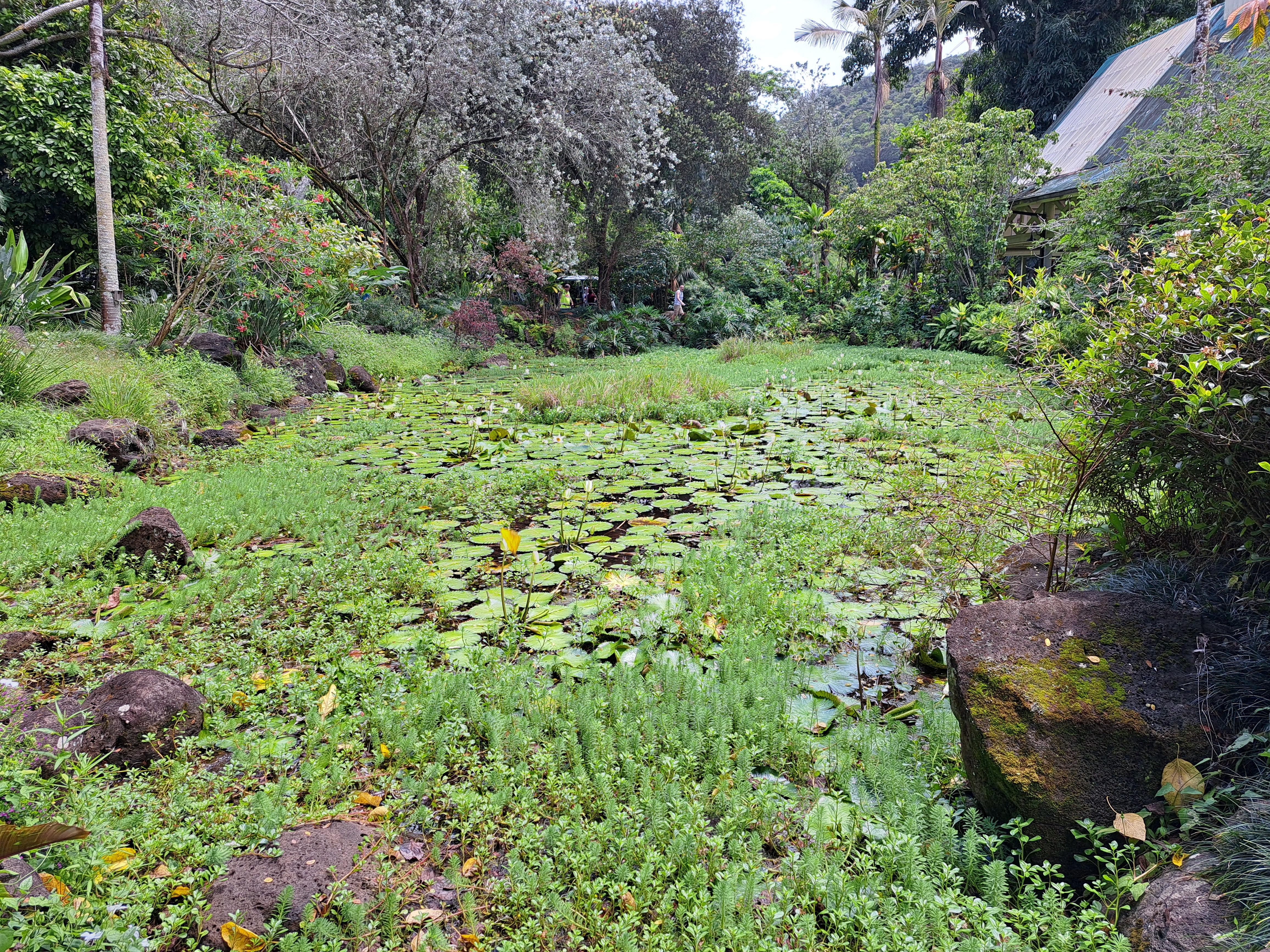
Walk through the open-air Visitor Center, pass through the ticket booth, pay the admission fee, and walk halfway around the circle behind the ticket booth to begin following the asphalt trail upstream. Next you cross a side stream to reach an area dominated by native Hawaiian flora. Many of the plants in this area are rare or endangered, and the ku'ula shrine, or fishing shrine, is also located here.
 |
| Native Hawaiian flora area |
750 feet from the parking lot, you cross the Waimea River on a bridge for the first of three times. The river was a raging torrent due to recent rains on my visit, and the amount of water in the river will give an early indication of the amount of water in Waimea Falls. You also reach a trail intersection here. The trail going right leads to a dead-end loop on the south side of the river, and the trail going straight was closed on my visit. Thus, I turned left to stay on the main blacktop trail.
 |
| Pineapple plants in Pacific garden |
The next segment passes through the hibiscus garden, which features seemingly every type of hibiscus from all around the world. Tags help you identify the various flora. Continuing upstream leads through the Central and South American garden and the Pacific garden. The latter gives you the chance to see pineapple plants in a natural environment along with some large mango trees and a banyan tree. I also did some nice bird-watching here that included some red-crested cardinals. Later as I exited, some peacocks were roaming around the parking lot.
 |
| Large mango tree |
At 0.6 miles, you reach another major trail intersection just after passing Auntie Coco's Lei Garden. I chose to turn left to remain on the main trail and explore the side trail going right on my return route. The fruit, nut, and spice garden, which features some banana trees, comes next as you descend the steepest grade on this entire hike and cross another side stream. While it seems odd to descend steeply while you are heading upstream, just keep following the paved trail: it is indeed leading to the main attraction.
 |
| Main garden trail |
You pass through the gardens featuring plants from the Mascarene Islands, Sri Lanka, and Madagascar in quick order while crossing the Waimea River twice. Just shy of 1 mile, you reach the snack bar, amphitheater, viewing area, and swimming area for Waimea Falls. The Hawaiian word for waterfall is wailele (pronounced like why-lay-lay), and at 45 feet tall and plenty of water volume, this wailele is quite impressive. Swimming is allowed in the large plunge pool when the current is tolerable, which it was not on my visit. The surrounding black-rock cliffs and green jungle-like growth make for a stark setting, and this waterfall made "wailele" my new favorite Hawaiian word.
 |
| Waimea Falls |
 |
| Setting for Waimea Falls |
The trail ends at the wailele, so you have to reverse course through the gardens to return to the parking lot. The return route is a good opportunity to explore the many dirt side trails that lead off into various parts of the garden and along the Waimea River. While all of the side trails quickly come back to the main paved trail, they allow more lengthy and intimate interaction with the various gardens than the paved trail, plus they add some variety to your return route. Also, although this is the only 1 of my 3 Hawaii hikes that does not lead to a beach, Waimea Bay Beach Park with its wide sandy beach, palm trees, and black rocks is located right across SR 83; it is accessible from the Garden by a short road walk and a pedestrian bridge.


No comments:
Post a Comment