Trail: Mountain Creek Trail
Hike Location: F.D. Roosevelt State Park
Geographic Location: Pine Mountain, GA (32.84395, -84.82881)
Length: 3.1 miles
Difficulty: 5/10 (Moderate)
Date Hiked: February 2023
Overview: A loop hike through all of Pine Mountain's major habitats.
Park Information: https://gastateparks.org/FDRoosevelt
Hike Route Map: https://www.mappedometer.com/?maproute=929889
Photo Highlight:
The Mountain Creek Trail forms a true loop, so the trail exits the campground in two directions. The easiest place to find the trail is behind the campground's Trading Post, where a brown park sign and red carsonite post mark the start of the Mountain Creek Trail. Starting here will take you on a counterclockwise journey around the loop.
The trail curves left to reach another trail intersection at 0.7 miles. The trail continuing straight on the left (east) side of the creek leads to some picnic shelters and the dam of Delano Lake, so you want to turn right, cross the creek, and begin heading back downstream. Watch for the plentiful red blazes at each of these intersections to stay on the right trail.
For the next 0.5 miles the trail stays close to Mountain Creek, which at times flows through a steep channel. A light rain began falling as I hiked here, and I thought about how much I preferred hiking this trail in 60 degrees with a light rain versus 90 degrees with full sun. At 1.2 miles, the trail curves left to begin a long and gradual climb away from Mountain Creek. The difference between minimum and maximum elevations on this hike is less than 200 vertical feet, so all climbs are either very gradual or do not last long.
1.9 miles into the hike, you reach a pair of abandoned fish hatcheries. Constructed by the CCC, the excellent stonework at the fish hatchery dams looks out of place in the middle of the woods today. A couple of benches invite you to sit, rest, and enjoy a trail snack near the midpoint of this hike.
Just past the fish hatcheries, you reach a major trail intersection. The option going right leads to the aforementioned Pine Mountain Trail, and the option going left leads to the park's cabin area. Continue straight to remain on the Mountain Creek Trail. Now the ravine narrows and the grade steepens as you begin the hardest climb of this hike. Given the elevation information mentioned above, this climb barely works up a sweat.
Near 2.4 miles, you cross first Lake Delanor Road, an extension of the road you drove in on, and then a power line corridor as you pass the highest elevation on this hike. The rocky areas on top of this ridge contrast with the creekside areas you hiked through earlier. Next comes the steepest descent as the trail plunges back into a creekside area. This ravine is clogged with large amounts of mountain laurel.
Just shy of 2.9 miles, you cross the Cabin Trail and the Delano Trail as you enter the campground. Avoid walking into occupied campsites, and soon the trail comes out at the campground road. Walk along the campground road, cross the main park road, and reach your car in the parking lot in front of the campground's Trading Post to complete the hike. While you are here, you can check out scenic Lake Delano or take a short drive to one of several scenic views from the Pine Mountain Range along nearby SR 190.
Hike Location: F.D. Roosevelt State Park
Geographic Location: Pine Mountain, GA (32.84395, -84.82881)
Length: 3.1 miles
Difficulty: 5/10 (Moderate)
Date Hiked: February 2023
Overview: A loop hike through all of Pine Mountain's major habitats.
Park Information: https://gastateparks.org/FDRoosevelt
Hike Route Map: https://www.mappedometer.com/?maproute=929889
Photo Highlight:

Hike Video:
Directions to the trailhead: In western Georgia, take I-185 to SR 18 (exit 34). Exit and go east on SR 18. Where SR 18 angles left, continue straight on SR 354. Drive SR 354 east 2.5 miles to the park entrance on the right. Turn right to enter the park, pay the entrance fee, and drive the main park road 0.5 miles to the campground's Trading Post. Park in the lot in front of the Trading Post.
The hike: Weighing in at 9049 acres, F.D. Roosevelt State Park is the largest state park in Georgia. The park was established in 1935 to protect a large part of the Pine Mountain Range, a low east-west ridge that accounts for this park's long and skinny east-west shape. Geologically speaking the Pine Mountain Range is part of the Piedmont Plateau, not part of the Appalachian Mountains to the north. The park is named for President Franklin Delano Roosevelt, whose famous Little White House is located in the town of Warm Springs near the east end of the Pine Mountain Range and this park.
Roosevelt's depression-era Civilian Conservation Corps (CCC) had a camp near the SR 354 park entrance you drove in to reach this trailhead, and they built several of the park's lakes and cabins. The park also has a 115-site developed campground, primitive camping, 2 picnic shelters, 28 miles of bridle trails, and 43 miles of hiking trails including the 23 mile Pine Mountain Trail, which is probably Georgia's best backpacking trail south of the Appalachian Mountains. The Mountain Creek Trail described here is one of the park's better dayhiking options, and it provides a nice sample of the Pine Mountain Range's habitats, both creekside and ridgetop, without pegging the difficulty meter.
 |
| Trailhead behind Trading Post |
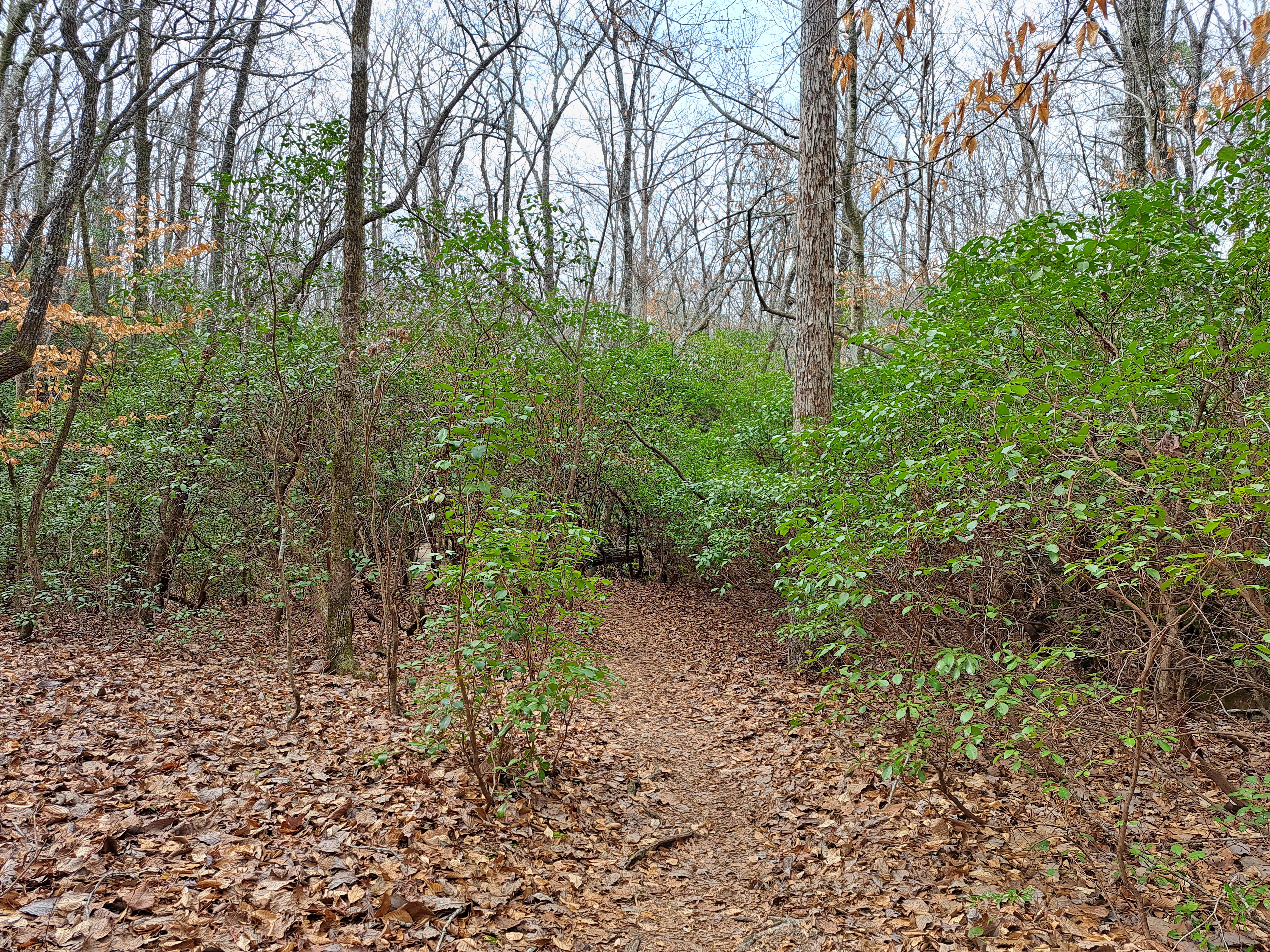
Marked with red rectangular paint blazes, the Mountain Creek Trail descends to cross a tributary of Mountain Creek and reach a trail intersection. The trail going right leads to a secondary campground, so you want to turn left to continue on the Mountain Creek Trail. The forest is the usual Piedmont mix of pine and broadleaf trees as you go more down than up over gentle undulations.
 |
| Hiking through Piedmont forest |
 |
| Hiking along Mountain Creek |
 |
| Hiking away from Mountain Creek |
|
| Abandoned CCC Reservoir |
 |
| Rocky area near ridgetop |
 |
| Mountain laurel thicket |
No comments:
Post a Comment