Trails: Turtle Mound, Eldora House, Eldora Hammock, and Castle Windy Trails plus beach walk
Hike Location: Canaveral National Seashore, Apollo Beach Area
Geographic Location: south of New Smyrna Beach, FL (28.92789, -80.82368)
Length: 2.7 miles (including a short beach walk)
Difficulty: 1/10 (Easy)
Date Hiked: January 2021
Overview: A sequence of short nature trails exploring the wide variety of scenery at Canaveral National Seashore.
Seashore Information:
https://www.nps.gov/cana/index.htm
Hike Route Map:
On The Go MapPhoto Highlight:
Directions to the trailhead: The entrance to Canaveral National Seashore's Apollo Beach Area is located at the end of SR A1A 9.4 miles south of the intersection of SR A1A and US 1 in New Smyrna Beach. The first nature trail starts at the parallel parking area for Turtle Mound. This parking area is located on the right 0.6 miles south of the National Seashore entrance station, where you will need to pay your entrance fee.
The hike: When most people think of Cape Canaveral, they think of the launching point for space shuttles, rockets, and satellites, and the home of the United States Space Force. Yet just up the coast from the space center lies the longest stretch of undeveloped beach on Florida's east coast. That beach is forever protected as part of Canaveral National Seashore, a fantastic nature-oriented destination in a very developed and touristy part of Florida.
Created in 1975 by an act of Congress, Canaveral National Seashore protects over 57,000 acres on the barrier island separating the Indian River lagoon system and the Atlantic Ocean. The park's crown jewel is its 24 miles of undeveloped Atlantic Ocean beach, but the entire width of the barrier island falls under its protection. More than 1000 plant species and 300 bird species have been identified here, making this park a major destination for bird watchers and naturalists.
The national seashore is organized into several areas, and this blog entry features the Apollo Beach Area, which includes the park's long and famous beach. Other than a walk along the beach, there are no extended hiking opportunities in the Apollo Beach Area, but four short nature trails showcase the history and variety this barrier island has to offer. These nature trails start at separate trailheads, and this blog entry describes them consecutively from north to south, the order in which most visitors would encounter them as they drive through the park. All trails start at well-marked parking areas, and while I chose to drive from one trailhead to the next, you could also bike between trailheads if you have the time and energy.
 |
| Start of Turtle Mound Trail |
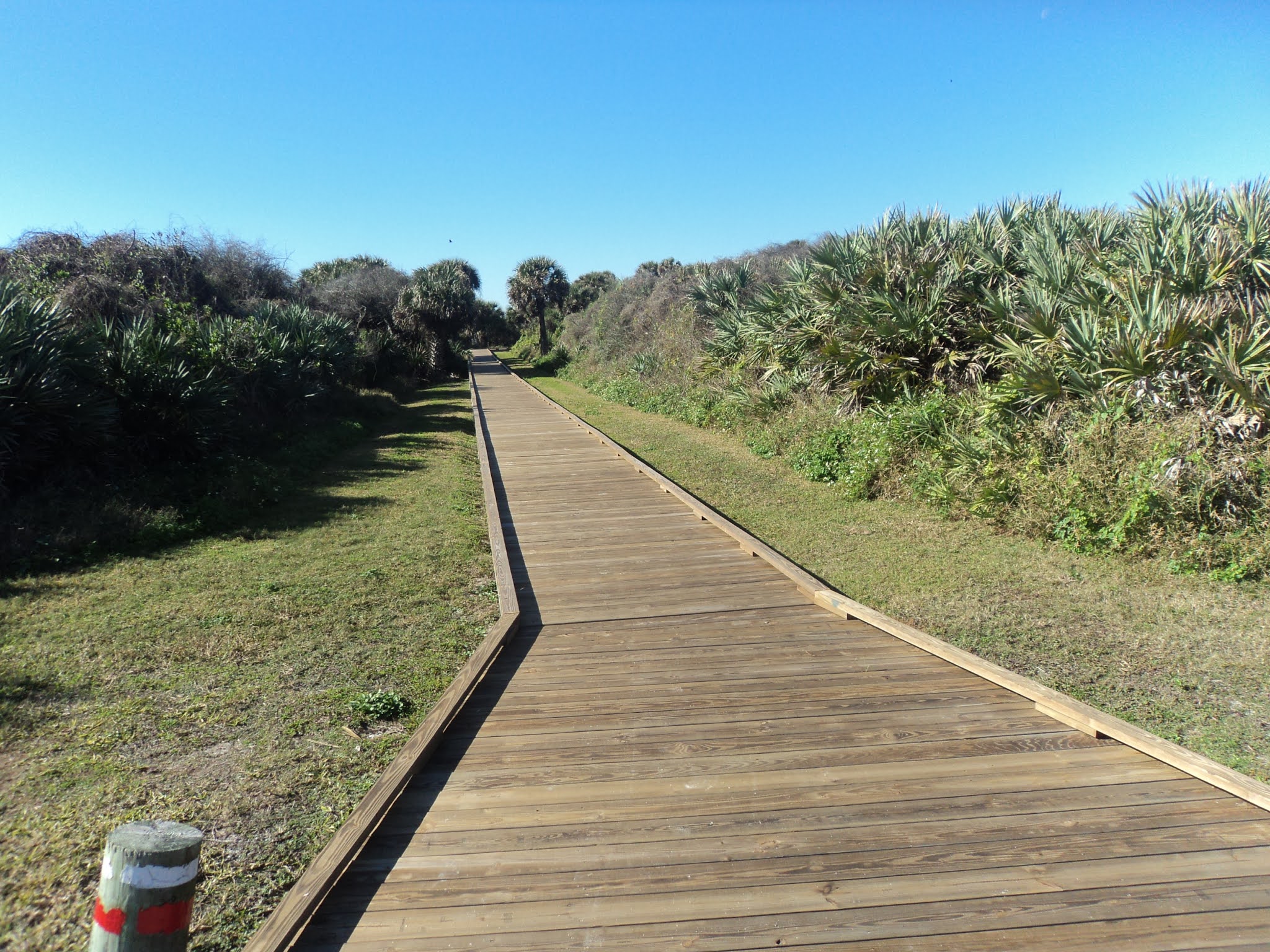
The first trail is the Turtle Mound Trail, and its signed trailhead is located at a parallel parking area on the right (west) side of the main road 0.6 miles south of the entrance station. The Turtle Mound Trail is entirely on boardwalk, and the boardwalk goes west directly away from the road before turning right to ascend Turtle Mound. Built by the Timucuan people between 800 and 1400 AD, the large shell mound known as Turtle Mound seems to be the highest point in the national seashore. An observation platform provides fantastic views in all directions, and some birds including turkey vultures soared past my head high above the surrounding area.
 |
| View from top of Turtle Mound |
 |
| Soaring turkey vultures |
After taking in the view, retrace your steps to the parking area at 0.2 miles, then drive south 1.8 miles to Eldora Village and the start of the second short nature trail. Eldora Village is not located on the main park road but on the narrow one-way Eldora Loop Road just west of the main road. A small signed parking area is provided.
 |
| Start of trail to Eldora Village |
Two trails lead from the parking area to Eldora Village: a two-track sandy dirt road on the right and a single-track dirt trail on the left. I hiked the dirt trail to the village and hiked back to the parking area on the dirt road. The trail heads into a dense forest dominated by saw palmetto and mangroves before crossing a deep, sunny creek on a wooden footbridge.
 |
| Crossing a sunny creek |
After less than 5 minutes of walking, you reach the historic Eldora Village. Between 1877 and 1900 up to 100 people lived here, and the village was large enough to have its own post office and school. Today all that remains is Eldora's "State House," an impressive white two story house that dates to 1913. Palm trees dot the State House's yard, and a pier nearby offers fishing and crabbing opportunities on Mosquito Lagoon. Pass an interpretive sign that marks the site of some older defunct structures and walk the sandy dirt road back to the trailhead to complete the second nature trail.
 |
| Eldora State House |
The third nature trail is the Eldora Hammock Trail, which has a separate parking area a few hundred feet down the one-way Eldora Loop Road on the right. A hammock is an island of land that has slightly higher elevation than the land around it, and that small difference in elevation allows less flood-tolerant plants to thrive. From the signed trailhead, the narrow dirt trail heads into the dense forest.
 |
| Start of Eldora Hammock Trail |
Where the trail forks to form its loop, I angled left to hike the loop clockwise. Interpretive signs are supposed to point out common plants in the hammock, but these interpretive signs had seen their better days on my visit. Some gnarly live oaks dominate the canopy, and saw palmetto dominates the understory. |
| Hiking around the hammock |
In just under 0.5 miles, you close the loop. Angle left to return to the parking area and complete the Eldora Hammock Trail. To get to the Castle Windy Trail, the last and longest nature trail in the Apollo Beach Area, drive out to the main road, turn right, and drive south just under a mile to beach parking area #3 on the left. The signed trailhead is located to the west across the road from the parking area. |
| Start of Castle Windy Trail |
Dead straight for its entire 0.5 mile length, the Castle Windy Trail is the only trail to cross the entire width of the barrier island from the Atlantic Ocean to Mosquito Lagoon. Numbered posts correspond to a trail guide available from a dispenser at the trailhead, and they point out interesting plants including airplants and sour oranges, which look exactly like real oranges but taste nothing like them. I spotted an armadillo and some lizards on my hike here.
 |
| Armadillo on the trail |
 |
| Mosquito Lagoon at Castle Windy |
0.5 miles from the trailhead, you arrive at a small picnic area at Castle Windy, another (smaller) Timucuan shell mound. This area is located on the bank of Mosquito Lagoon, and the brackish water emitted a pungent odor on my visit. After exploring the Castle Windy area, retrace your steps to the parking area to complete the Castle Windy Trail.
 |
| Walking along the Atlantic Ocean |
 |
| Pelican in the ocean |
Of course no visit to Canaveral National Seashore would be complete without a trip to the famous 24-mile-long beach, and the Castle Windy Trail's start at beach parking area #3 provides the perfect opportunity to add a beach walk to the end of this hike. Just walk over the short boardwalk heading east and head down the wooden steps to the beach. I saw several pelicans on my beach walk, and I really enjoyed my experience on the natural side of Florida's touristy east coast.


No comments:
Post a Comment