Trails: CCC, Sheltowee Trace, and Rock House Trails
Hike Location: Cumberland
Falls State Resort
Park
Geographic Location: southwest of Corbin ,
KY (36.83891, -84.33832)
Length: 2.7 miles
Difficulty: 6/10 (Moderate)
Dates Hiked: May 2017, June 2020
Overview: A loop hike using the Sheltowee Trace and passing
impressive Cumberland Falls
Hike Route Map:
On The Go Map
Photo Highlight:


Hike Video:
Directions to the trailhead: In southern Kentucky,
take I-75 to US 25W (exit 18 or 25, depending on whether you are going north or
south on I-75). Exit and take US 25W 3
miles north from exit 18 or 3 miles south from exit 25 to SR 90. Go west on SR 90. Park at the state park’s DuPont Lodge, which
is located on the left 7.4 miles west of US 25W.
The hike: Often called the “Niagara
of the South,” Cumberland Falls England ’s
King George II. Ownership of the falls
changed several times until 1927, when T. Coleman DuPont offered to buy the
falls and donate it to the Commonwealth
of Kentucky Cumberland
Falls State Park
While the
falls remains the park’s main attraction, Cumberland
Falls State Park Sheltowee Trace , Kentucky
On a personal
note, my family has taken several trips to Cumberland
Falls Cumberland
Falls Cumberland
Falls Kentucky hiking trip. I had intended to hike the Eagle Falls Trail
on the more secluded west side of Cumberland
Falls
 |
| Start of Trail #4 beside lodge |
The hike
begins on the Civilian Conservation Corps Memorial Trail (Trail #4), which
starts at a wooden post and information kiosk on the front left side of DuPont
Lodge. The depression-era Civilian
Conservation Corps (CCC) built many of the park’s original facilities and
trails, including some stone steps that are still used by this trail today. Trails at Cumberland
Falls State Resort
Park
The trail heads northeast with a
vertical sandstone cliff separating you from the park’s cottage area uphill to
the left. The CCC built some tool
storage compartments into these cliffs, and some interpretive signs point them
out for you to see today. Large amounts
of American holly grow under this cliff line.
 |
| CCC storage compartment in cliffs |
 |
| Back of DuPont Lodge |
After a
spur trail to the lodge exits right, you descend another long set of CCC-built
stone steps. At 0.75 miles, you
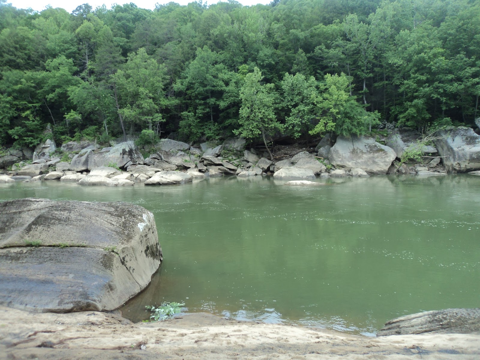
intersect the Cumberland River Trail (Trail #2) as the Cliffside Picnic Area
comes into view downhill and the Cumberland River comes
within earshot just beyond the picnic area.
To keep heading for Cumberland
Falls
Soon you
learn why this picnic area is called the Cliffside Picnic Area, as Trails #2
and #4 run conjointly along the base of a tall vertical sandstone cliff. This cliff also features a nice rock shelter
and, if it has rained recently, a low-volume waterfall. After descending a single switchback, Trails
#2 and #4 end at an intersection with the picnic area access road. Turn right to head out of the picnic area,
but first go down to the river to view the Edward
Moss Gatliff Bridge Cumberland
River .
 |
| Gatliff Bridge |
After
exiting the picnic area, carefully cross SR 90 to reach the huge parking lot
for Cumberland Falls
At 1.2
miles, you reach the Cumberland Falls Visitor’s Center and Gift Shop. Just past these buildings lie the falls
itself. The first viewpoint offers a
top-side view from a rocky outcrop, but some concrete steps lead down to the
postcard view from beside the outcrop.
At 65 feet high and 125 feet wide, this roaring river waterfall is a
real sight to behold. Cumberland
Falls
|
| Cumberland Falls |
The
shortest route back to the lodge is Trail #6, but to see some more of the
Cumberland River and more rock outcrops, exit the falls area by continuing
north on the Sheltowee Trace, which is also called the Moonbow Trail in this
area. The trail climbs moderately and crosses
some small streams on wooden footbridges.
Many of the bridges in this park have roof shingles nailed to their
floors to provide traction. Twice the
Wildflower Loop Trail (Trail #12) exits right and offers an opportunity to
short-cut this hike. Stay left to remain
on the Sheltowee Trace.
 |
| Cumberland River below the falls |
The trail
descends some steep wooden steps to return to a riverside course. The next 0.4 miles feature a decent amount of
up-and-down as the trail parallels the river, heading downstream. Overall, the terrain is rather rocky and the
going quite slow. Near 2 miles into the
hike, you reach a recent trail reroute.
The trail now turns right to head uphill to a large rock house with a
low-volume seasonal waterfall.
 |
| Rock house on Rock House Trail |
The trail
curves left to climb above the rock house via a more gradual set of wooden
steps. At 2.1 miles, you reach a
junction with the Rock House Trail (Trail #7).
The Rock House Trail is the last trail that heads back to the lodge, so
you need to turn right to leave the Sheltowee Trace and begin the Rock House
Trail.
The Rock
House Trail climbs gradually along the base of another cliff. After climbing another short set of steps,
the Anvil Branch Trail (Trail #11) exits left.
Continue straight to remain on the Rock House Trail, which soon ends at
the Wildflower Loop Trail (Trail #12).
Turn left on the Wildflower Loop Trail.
 |
| Climbing on Wildflower Loop Trail |
The
Wildflower Loop Trail climbs moderately to enter the Clifty Campground at 2.5 miles. To get back to the lodge, turn
left and walk the main campground road out to SR 90. Turn right on SR 90 and walk along the road’s
wide shoulder to reach the lodge at 2.7 miles and complete the hike.
No comments:
Post a Comment