Trail: (unnamed)
Hike Location: Cove Lake
State Park
Geographic Location: north side of Caryville , TN (36.30929, -84.21887)
Length: 1.4 miles
Difficulty: 1/10 (Easy)
Dates Hiked: January 2015, March 2023
Overview: A fairly flat hike on asphalt trail through wooded
creekside habitat.
Park Information: https://tnstateparks.com/parks/cove-lake
Hike Video:
Directions to the trailhead: North of Knoxville, take
I-75 to US 25W in Caryville (exit 134). Exit
and go north on US 25W. Drive US 25W
north 0.9 miles to the park entrance on the left. Turn left to enter the park, then proceed
straight at each intersection to the main park road’s end at a parking circle
just uphill from the lake. Park here.
The hike: Like its brother/sister state parks Norris Dam and Big Ridge, Cove Lake
State Park Clinch
River several miles downstream caused water to back up into Cove
Creek, which in turn threatened to flood the town of Caryville . The TVA’s solution was to build a second auxiliary
dam on Cove Creek called Caryville Dam.
Water held back by Caryville Dam created Cove
Lake
In addition
to the lake, Cove Lake
State Park Recreation Village Tennessee . When complete, the Cumberland Trail will
trace a diagonal course for more than 300 miles from Cumberland
Gap National Historic
Park Chattanooga-Chickamauga
National Military
Park
For
dayhikers, Cove Lake
State Park Tennessee ’s three TVA
state parks because its trails do not form loops. Some short out-and-backs can be done starting
at the campground, and an unnamed paved trail makes a figure-eight route along
the east bank of Cove Lake Cove
Lake
 |
| Signs at trailhead |
Pick up the
paved trail at an information board and directional sign near the back of the
parking circle. The trail is open to
both foot and bicycle traffic. To
minimize the potential for collisions, park regulations require that bikers
turn left and ride the loop clockwise while hikers must turn right and walk the
loop counterclockwise.
The asphalt
trail immediately enters the woods and undulates gently as it makes a sweeping
180-degree turn to the left. I heard and
saw many songbirds here including robins, sparrows, woodpeckers, and
cardinals. This trail would make a very
nice short hike but for the ugly asphalt constantly stretching out before you. On the bright side, your feet will stay dry
on this trail even when other dirt trails are too muddy for comfortable hiking.
 |
| Hiking the paved trail |
At 0.2 miles, you reach a point where the
other western arm of the loop comes very close on the left. The loop continues as the trail curves right
and approaches a power line that sits just over the park’s eastern
boundary. The trail never passes under
the power line but instead curves back left to stay in the woods. The next segment of trail parallels the park
boundary, which lies immediately to your right.
Near 0.5
miles, you reach the trail’s northern-most point as it makes a sweeping left
turn to begin heading south. One of the
main streams that feed Cove Lake
 |
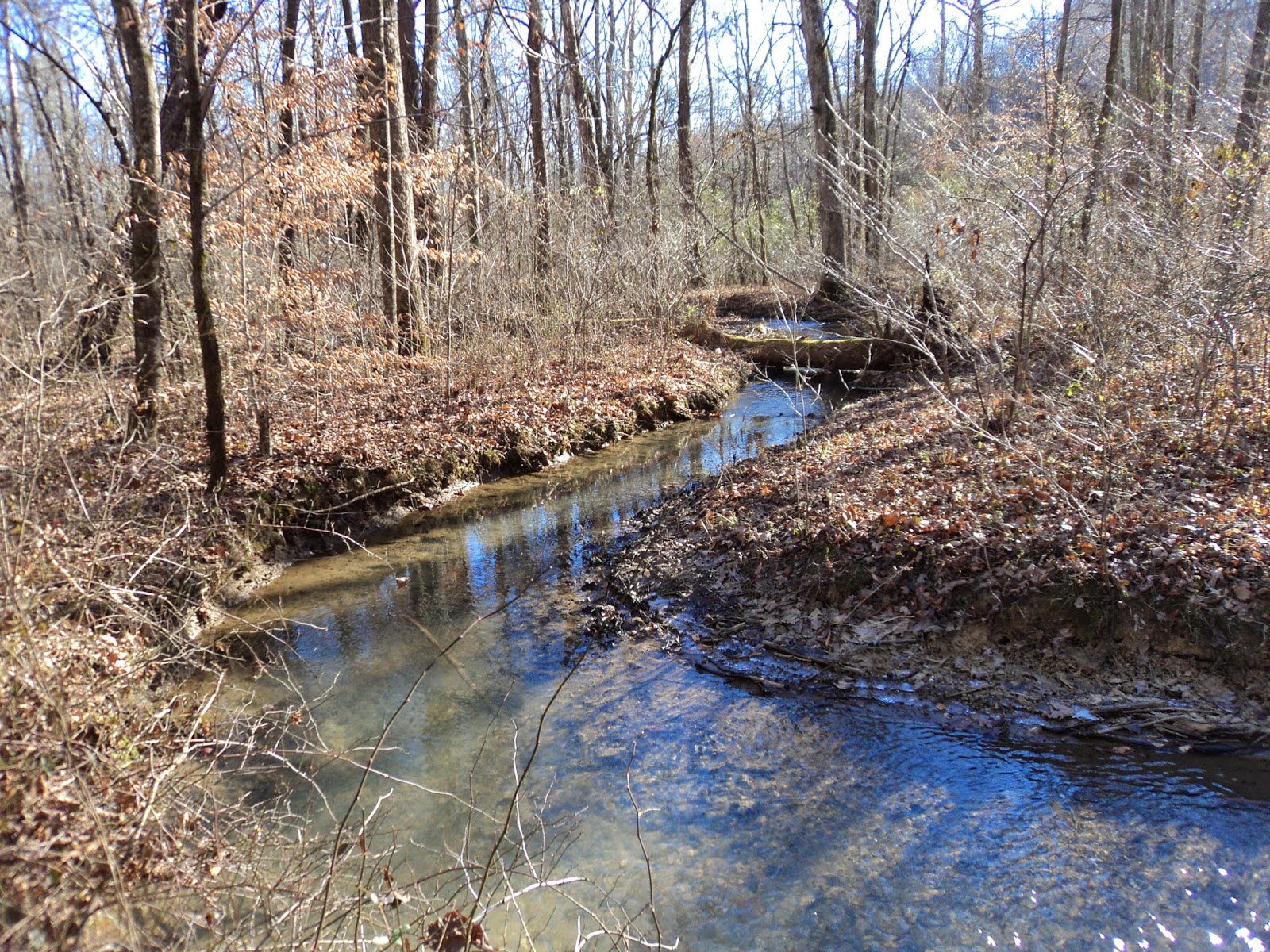
| Feeder stream for Cove Lake |
The trail
meanders south as the creek weaves in and out of sight on the right. At 0.8 miles, a dirt trail exits right. A sign identifies this trail as the Beaver
Workshop Loop and Cumberland Trail Access, but it quickly led to a frozen
wetland on my visit. Thus, I chose to
remain on the main paved loop.
 |
| Cove Lake |
The primary
direction remains south as Cove Lake Canada
geese in the lake even without the tower.
The lake comes into view just as you approach the parking circle, thus
marking the end of the loop. If you want
more lake views, you can continue straight and hike the southern lobe of the
paved figure-eight-shaped trail for just under another 2 miles, but that lobe
passes through a more developed area of the park than the nice woodland loop
you just completed.
No comments:
Post a Comment