Thursday, August 1, 2013

Valley Falls State Park: Rhododendron and Rocky Trails (Blog Hike #427)

Trails: Rhododendron and Rocky Trails
Hike Location: Valley Falls State Park
Geographic Location: southeast of Fairmont, WV (39.38838, -80.08650)
Length: 3.2 miles
Difficulty: 7/10 (Moderate)
Date Hiked: July 2013
Overview: A secluded hike with one steep section offering good wildlife viewing.
Hike Route Map: https://www.mappedometer.com/?maproute=941198
Photo Highlight:

Directions to the trailhead: In northern West Virginia, take I-79 to SR 310 (exit 137). Exit and go east on SR 310.  Drive SR 310 7.7 miles to Rock Lake-Valley Falls Road and turn right on Rock Lake-Valley Falls RoadRock Lake-Valley Falls Road deadends at the state park.  Pass the park office, drive carefully down a steep hill, and park at the gravel picnic area parking lot on the right at the bottom of the hill.

The hike: Based on the route you drive into Valley Falls State Park, this park does not seem like the ideal destination for a good hike.  After turning off the main road, you drive through a tight-knit lakeside community known as Rock Lake with houses and docks everywhere you look.  Only after you top the last hill and cross the park boundary does the isolated state park feel emerge.
            As you might guess, only modern travelers come over the hill to get to the valley falls.  Visitors a century ago would have traveled the B&O railroad line that was built in 1852 and still remains an active CSX line today.  Earlier visitors would have come down the Tygart River and needed to portage around the falls on this site.  In fact, the falling water is what first made this site significant, as W.W. Fetterman, the first white settler to occupy this land, built a mill along the river in 1827.  Only a single rock column from a later grist mill remains of that era today.
            The waterfall remains the 1145-acre park’s main attraction today, though visitors come for its ability to please the senses rather than its ability to turn a waterwheel.  In addition to the waterfall, the park features two reservable picnic shelters, fishing in the Tygart River, a game area, and 18 miles of mostly backcountry trails.  Many routes through the park’s trail system are possible, but the route described here forms a manageable dayhiking loop through the western portion of the trail system.  This hike could easily be extended by adding one of the adjacent trails to the east.
Trailhead: Rhododendron Trail
            The powder blue-blazed Rhododendron Trail starts at a vehicle gate at the rear of the western picnic area parking lot.  The trail begins by following an old road through dark beech/maple/oak forest.  The Tygart River can be heard but not seen downhill to the left.  The active CSX railroad track also lies downhill to the left, but you will likely not notice it either.  During my 4 hour visit to this park, only one train rattled along this track.
            At 0.5 miles, the old road you have been treading on forks, and a sign tells you to angle right to stay on the Rhododendron Trail and begin a gradual to moderate climb.  0.7 miles into the hike, the yellow-blazed Rocky Trail exits steeply uphill to the right.  You could turn right here to short-cut this loop, but this description will continue straight on the Rhododendron Trail to take the longer, more gradual route to this hike’s highest point.
Climbing on the Rhododendron Trail
            As the trail curves gradually eastward, the Tygart River on the left is replaced by Glady Creek, and the shrub for which this trail is named starts to make an appearance.  When I hiked this trail in mid-July, most of the rhododendron had already bloomed, but a few late-blooming flowers were still on the stems.  At 1.1 miles, you pass through an unmarked intersection where you need to continue straight to remain on the Rhododendron Trail.  Note that turning left here leads 0.3 miles to a small waterfall in Glady Creek.            
Rhododendron bloom
            Past the intersection, the trail gets rockier, some wet areas appear, and the grade progressively intensifies as you angle up the north side of the small unnamed mountain.  At 1.9 miles, you top the steepest section and arrive at the first of two very confusing intersections.  The Rhododendron Trail ends here, and your choices are to turn right or left.  The trail going left leads out of the park and to a mountain bike trail, so you need to turn right and begin walking on a wide grassy trail.
In only a couple hundred feet, you reach another confusing intersection that gives you the choices of straight and right.  The unmarked trail going straight is the Dogwood Trail and leads to the eastern part of the trail system.  This hike will angle softly right to head for the Rocky Trail.  Truth be told, my original plan was to do a longer hike involving the Dogwood Trail, but my plans got derailed by some wrong turns at these two intersections.  The damaged wooden directional signs that exist at these intersections need to be repaired or replaced.  This incident brings up a basic rule in hiking: always be willing to change your plans when trail conditions warrant doing so.
Heading toward the Rocky Trail
              For the next 0.3 miles you tread a nearly flat trail that connects the Dogwood and Rocky Trails.  Because this trail passes through the center of the park, good wildlife viewing can be had here.  The highlight of my trip was seeing a scarlet tanager, which is easily identified by its bright red body and black wings.
Descending on the Rocky Trail
            At 2.2 miles, you reach a 3-way trail junction.  The blue-blazed Wild Turkey Trail departs at a sharp angle left; it is another route to the eastern section of the trail system.  The yellow-blazed Rocky Trail continues straight and departs at a soft angle left.  For the most direct route back to the picnic area, take a soft left on the Rocky Trail.  Continuing straight would take you back to the Rhododendron Trail 0.7 miles from the picnic area.
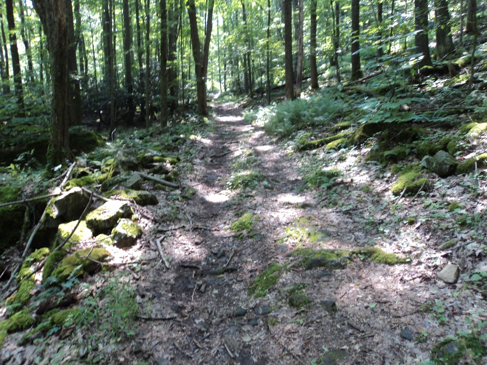
The Rocky Trail starts on a nearly level grade with the hillside rising steeply to the left.  At 2.8 miles, the easy section abruptly ends as the Rocky Trail begins the final steep descent back to the picnic area.  Take your time on this descent and save your knees. At the bottom of the hill, the Red Cardinal Trail enters from the left just before you arrive at the picnic area parking lot where your car is parked.
Waterfall on Tygart River
            Before you drive out, you should certainly take a few minutes to see the waterfall.  To get there from this parking area, continue walking on the main park road past where it closes to vehicles.  Cross the railroad track on an old road bridge and angle right on the paved trail to reach the viewing platforms. The falls are only 10-15 feet high, but the large volume of river water ensures a memorable viewing experience at the end of your visit to Valley Falls State Park.

No comments:

Post a Comment