Photo Highlight:
Directions to the trailhead: In southern Indiana, take I-64 to US 231 (exit 57A). Exit and enter southbound on US 231. Drive US 231 south 5.7 miles to SR 162. Exit and turn right on SR 162. Drive SR 162 west 1.2 miles to the signed state park entrance on the left; the state park entrance is opposite the entrance to Lincoln Boyhood National Memorial on the right. Turn left to enter the park, pay the entrance fee, and drive the main park road to the large parking lot in front of the beach house and camp store. Park here.
The hike: When most people think about Abraham Lincoln's background, they think about his birth in Kentucky or his law practice in Illinois. Yet from 1816 until 1830, when young Abraham was between 7 and 21 years old, Lincoln and his family lived in southern Indiana. The site of the Lincoln farm is preserved as
Lincoln Boyhood National Memorial, which contains a nice museum and 2 short hiking trails.
The National Memorial was established in 1962, but 30 years earlier in 1932 the State of Indiana established Lincoln State Park directly across SR 162 from the future Memorial. The state park occupies the site of a former pioneer community established in 1816 called Little Pigeon Creek, and Abraham worked as a clerk in the community's general store. Also, the park has better amenities than the memorial including fishing and boating on Lake Lincoln, a 269-site developed campground, the Lincoln Amphitheater, several cabins, and several picnic areas.
For hikers, the state park also outshines the national memorial: it features 8 trails totaling 13.6 miles. The hike described here combines parts of 3 trails to form a loose loop around Lake Lincoln. While not the park's longest hike, it explores the lakeside area, the Little Pigeon Creek community site, and an old fire tower, thus exploring most of the major points of interest Lincoln State Park has to offer.
 |
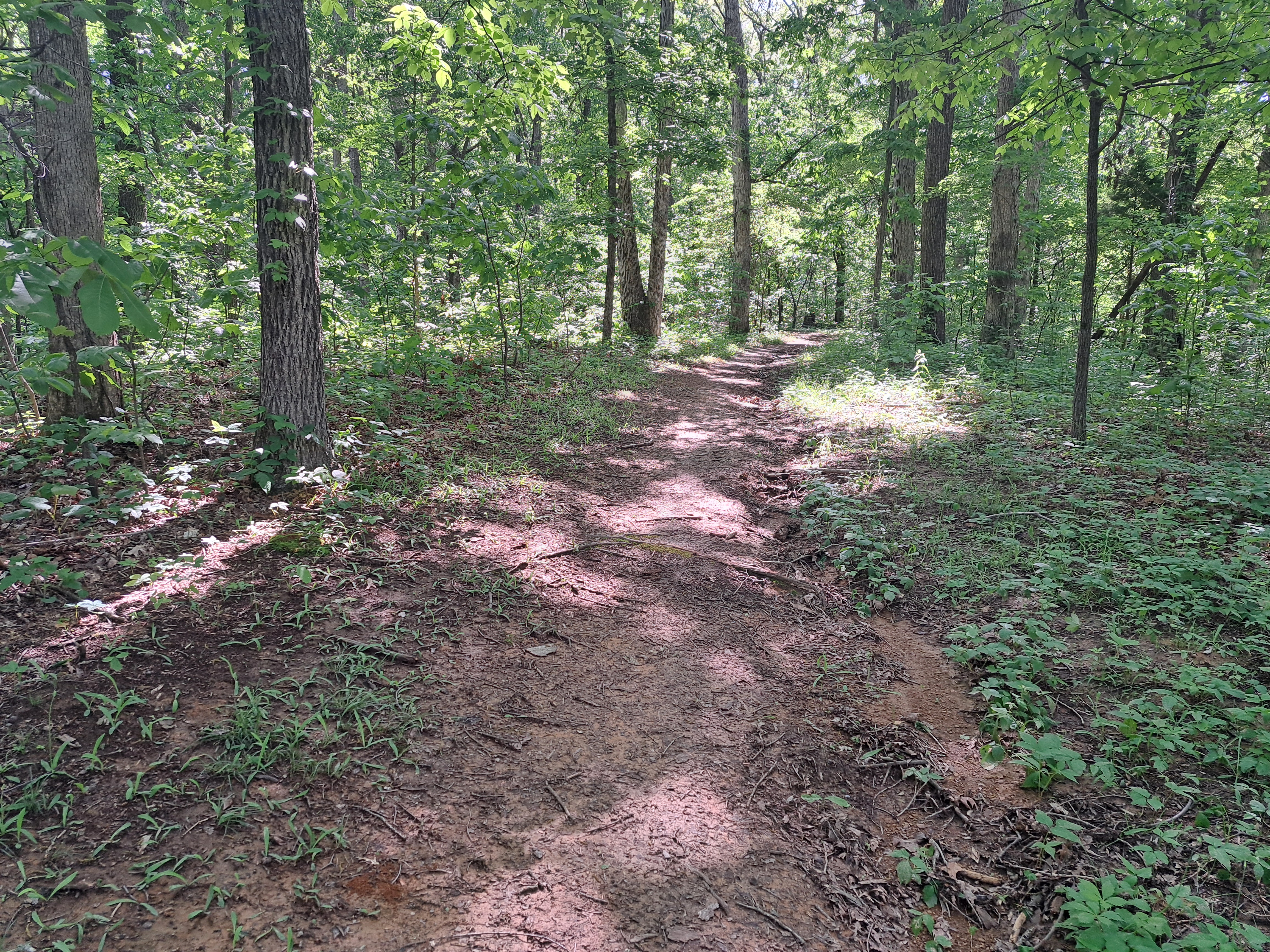
| Start of Trail #5 |
Your first task on this hike is to find the start of Trail #5. From the big parking lot, head west on the park entrance road with the lake on your left. Angle left to walk through the lakeside picnic area, then look to the right where gravel Trails #2 and #5 share a path that enters the woods. A small wooden post with green numbered markers marks this trailhead.
 |
| Hiking Trail #5 |
0.25 miles from the start, Trails #2 and #5 part ways. Turn left to stay on Trail #5. After crossing a park road, you reach the intersection that forms Trail #5's loop at 0.4 miles. Turn left again to start heading clockwise around the loop.
 |
| Little Pigeon Baptist Church |
Trail #5's loop goes through the site of the former Little Pigeon Creek community. Unfortunately, not much of the community remains. The trail does pass within sight of Little Pigeon Baptist Church. The church building is not original to the community, but it does contain a cornerstone from the original church. Also, Sarah Lincoln Grigsby's grave, Abraham Lincoln's sister, is found in the adjacent cemetery. The trail passes through a wetland that is the outflow of Lake Lincoln, and some wooden bridges get you over the worst of the wetness.
 |
| Bridge over wetland |
At 0.75 miles, you reach the Gordon Home Site and Gordon Mill Site. Abraham Lincoln would have come here many times to mill his grain, but today all that remains are some holes in the ground that look like small cellars. You also reach a junction with a two-track dirt service road here. Trail #5 continues to the right, but to continue our hike around the lake, you want to turn left on the unmarked dirt service road.
 |
| Gordon Home Site |
The service road follows a sewer line corridor, and what it lacks in scenery it makes up for in ease. After crossing a small creek, you reach the end of the service road at a junction with Trail #3. Turn right on Trail #3.
 |
| Hiking the service road |
Trail #3 enters the southern-most part of the park as it climbs on a gradual to moderate grade. This part of the park is called Sarah Lincoln's Woods Nature Preserve, and I did some nice wildlife viewing including some toads, a blue jay, and a woodpecker on the warm early summer day when I hiked here. Some large tulip poplars grow in this area, and some benches make nice places to sit and enjoy the woods.
 |
| Hiking Trail #3 |
After a brief walk on the ridgetop, the trail descends and curves left to enter a ravine. At 1.9 miles, you reach the end of Trail #3 at a junction with Trail #1. Turn right and quickly come to another intersection. If you wanted to finish this hike as a pure lakeside hike, you could angle left and hike Trail #1 the rest of the way. To see another historical site, turn right to follow a sign that says "Firetower." This trail is unmarked, but some maps call it the Firetower Trail. |
| Old fire tower |
Next comes the steepest climb of the hike, but you only gain about 140 feet of elevation over the next 0.25 miles. At 2.25 miles, you reach the top of the hill and the old fire tower. Stairs lead to the top of the fire tower, but signs warn against climbing the tower. Views from the top are limited by surrounding trees.
 |
| Lake Lincoln |
The trail continues past the tower and quickly drops back to Trail #1. Turn right on Trail #1. The balance of the hike is a lakeside jaunt along the shore of Lake Lincoln. Ignore side trails that exit right, but pay attention to the lotus colony in the northeast corner of the lake: it puts on a nice flower show in late summer. After passing the campground and the boat rental area, you return to the beach house and camp store to finish the hike.


No comments:
Post a Comment