Trails: Trail of Cedars and Avalanche Lake Trail
Hike Location: Glacier National Park
Geographic Location: east of West Glacier, MT (48.68095, -113.81865)
Length: 4.8 miles
Difficulty: 6/10 (Moderate)
Date Hiked: August 2018
Overview: A creekside hike to scenic Avalanche Lake.
Park Information: https://www.nps.gov/glac/index.htm
Directions to the trailhead: This hike starts at
Glacier National Park’s Avalanche Creek Trailhead, which is located on the
park’s Going-to-the-Sun Road 15.7 miles east of the park’s west entrance. Ideally you can park at the trailhead’s
roadside parking area, but because the lot fills quickly during the peak season
you may need to park at the Apgar Visitor Center and ride the free park shuttle
up to Avalanche Creek.
The hike: For my
general comments on Glacier National Park, see the previous hike. This hike, my final hike in
Glacier National Park, takes you to popular and scenic Avalanche Lake, a
medium-sized lake surrounded by towering bare-rock mountains. This hike is popular with families because it
is long and hard enough to give you a sense of accomplishment but not so hard
that it becomes overly taxing. I did
this hike in the cool of the morning before the large crowds arrive, and I had
a fantastic hike.
 |
| Start of Trail of Cedars |
Your
journey to Avalanche Lake starts on the Trail of Cedars, which begins on the south
shoulder of the Going-to-the-Sun Road as an unsigned boardwalk. A 0.7 mile nearly flat loop, the Trail of
Cedars is somewhat popular because it is the easiest trail in Glacier National
Park. As its name suggests, the Trail of
Cedars passes through a dense creekside pine forest dominated by western red
cedars, black cottonwood, and western hemlock.
Where the boardwalk splits, stay
left to remain on the northeast bank of Avalanche Creek. The mountainside comes closer on the left as
the trail stays in a narrow band of flat area between the mountain and the
creek. At 0.3 miles, the trail curves
right to cross Avalanche Creek on a nice footbridge. Looking to the left allows you to peer
directly upstream through a tight sheer-walled rock gorge. Avalanche Creek creates some powerful
waterfalls in this gorge.
 |
| Small but rocky gorge on Avalanche Creek |
Shortly after crossing the creek,
you reach the signed Avalanche Lake Trailhead at an information board. Turn left here and climb slightly to quickly
reach the official Avalanche Lake Trail.
Turning right would take you downhill to the Avalanche Campground, so
you want to turn left to head for Avalanche Lake.
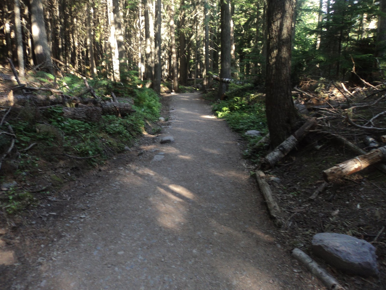
The Avalanche Lake Trail starts as
a rocky, rooty path that treads the rim of the sheer-walled gorge you peered
into only moments ago. Soon the creek
mellows out, as does the trail. For the
rest of the journey to Avalanche Lake the grade is moderate and the footing
good. Some gentle well-engineered
switchbacks help on both the steepness and footing fronts.
 |
| Hiking the Avalanche Lake Trail |
At 1.3 miles, you reach a brief
descent where a large number of trees have been knocked down. The name “avalanche” seems to be on
everything in this ravine, and for good reason: many avalanches thunder their
way down this ravine. These knocked down
trees testify to the force tumbling snow exerts. On the bright side, the gap in the trees
gives a nice view up the side ravine that leads east to Hidden Lake, the
destination of the previous hike. No
trails head up to Hidden Lake from this area, however.
 |
| Looking up side ravine toward Hidden Lake |
The grade intensifies slightly past
this side ravine. Overall, this hike
climbs about 600 vertical feet before reaching its highest point at 2 miles
into the hike. A slight descent then
brings you to the shore of Avalanche Lake near its outlet. As you would expect in Montana, the lake’s
water is clear and shiny. The lake is
surrounded by dense pine forest, but the pines give way to bare rock higher up
the surrounding mountains. Small packs
of snow remained on the higher elevations when I hiked here on the second day
of August, and tall cascading waterfalls delivered water from the snowpacks to
the lake. Take some time to enjoy this
classic Rocky Mountain scene.
 |
| Avalanche Lake |
 |
| Avalanche Lake |
The trail heading around the west
side of Avalanche Lake provides access to some primitive campsites. The only way to Avalanche Lake is the way you
got here, so eventually you will need to turn around and head back down beside
Avalanche Creek. If you do this hike
early in the morning like I did, the sun will be blocked by mountains while you
are hiking up but high enough to illuminate the water in Avalanche Creek while
you are hiking down. When you get back
to the Trail of Cedars, turn left to continue the Trail of Cedars.
The Trail of Cedars’ asphalt
southwest arm stays very close to the Avalanche Lake Campground. Picnic areas, parking lots, and restroom
buildings can be seen to the left. Just
before the asphalt trail reaches the main campground parking area, turn right
to return to the boardwalk just before it crosses Avalanche Creek. This creek’s clear water and rocky bottom
amazed me one last time here. Quickly
you close the Trail of Cedars’ loop, where a left turn returns you to the
roadside parking area to complete the hike.
No comments:
Post a Comment