Trail: Trout Lily Trail
Hike Location: Withrow Nature Preserve
Geographic Location: Anderson Township, OH (39.05167,-84.37726)
Length: 1.9 miles (but see my update comment at the end of this post)
Difficulty: 5/10 (Moderate)
Dates Hiked: 1998, October 2011, June 2020
Overview: An interesting hike through young forest and old field featuring an Ohio River overlook.
Directions to the trailhead: Take I-275 to Five Mile Road (exit 69). Exit and go south on Five Mile Rd. Take Five Mile Rd. about one mile to the Withrow Nature Preserve park road, which exits to the left. Turn left to enter the park. Park in the lot at the end of the park road.
The hike: Tucked in a sliver of land between bustling I-275 and US 52, 270 acre Withrow Nature Preserve occupies a small slice of natural area in the highly developed suburbs southeast of Cincinnati. The preserve exists due to the efforts and generosity of James B. O’Donnell, Jr., a former owner and resident of this land, in conjunction with the Nature Conservancy. The preserve contains an Interpretive Center and a popular wedding setting, but few other developed amenities will be found here. As such, this preserve often gets overlooked in favor of the larger, more developed county parks. This mistake made by many people works in favor of hikers, who are more likely to find solitude here than in most other parks in the county.
Only a single trail winds through the property, but the Trout Lily Trail is probably my favorite trail in the Hamilton County Park District. The trail is composed of two overlapping loops, the 1.75 mile Old Farm Loop and the 0.25 mile Hepatica Hill Loop. You could hike only one loop if you wanted a short hike, but the loops offer very different scenery. Thus, both loops will be described here to hike the full Trout Lily Trail.
 |
| Trailhead sign |
Begin at the green trailhead sign located at the rear of the parking area that says “Trout Lily Trail” in large white letters. The gravel common entry trail immediately enters rather mature woods and begins descending. After a short downhill hike, you reach the split, with the Old Farm Loop heading across a wooden bridge to the left and the Hepatica Hill Loop angling right. To minimize the number of steps you must retrace, I suggest hiking the longer Old Farm Loop first.
The Old Farm Loop treads along the bank of a ravine, crossing a few small wet-weather branches on footbridges or pipes. Some nice ferns populate the understory. As the trail leaves the ravine and continues winding through the woods, an old water pump, a relic from the old Withrow farm, stands on the left side of the trail. At 0.3 miles, an unmarked gravel trail exits to the left. Turning left here would provide a short-cut back to the parking lot, so you should continue straight to remain on the Old Farm Loop. The trees are considerably younger along this section of trail compared to the beginning of the hike.
 |
| Withrow farm relic |
After another 200 yards, the trail forks at the edge of an open field to form the Old Farm Loop. Heed a small white arrow on a brown carsonite stake that recommends a right turn now, using the left trail as the return route. Turning right at this intersection, the trail leads along the edge of the field through more young forest.
At the next intersection, turn right to hike the short spur trail to the Ohio River overlook. A gap cut in the trees allows a postcard view of the wide river in the foreground and the forested hills of Kentucky beyond. A bench provides opportunity to rest and take in the view. When you are done here, retrace your steps to the main trail and turn right to continue the loop.
 |
| Ohio River overlook |
After a couple hundred feet, the trail crosses a bridge over a drainage that apparently handles large volumes of water after a rain, as evidenced by the great deal of erosion on the steep sides of the channel. This section of trail is a great place for wildlife viewing, and I saw several deer on one of my visits here. 1 mile into the hike, the trail, now bordered on both sides by waist-high grass, comes out at a small clearing that used to contain the beautiful, dark brown O’Donnell Cabin. The cabin used to serve as an education center and was relocated after my first hike along this trail in 1998. An interpretive sign on the site contains a sketch of the cabin.
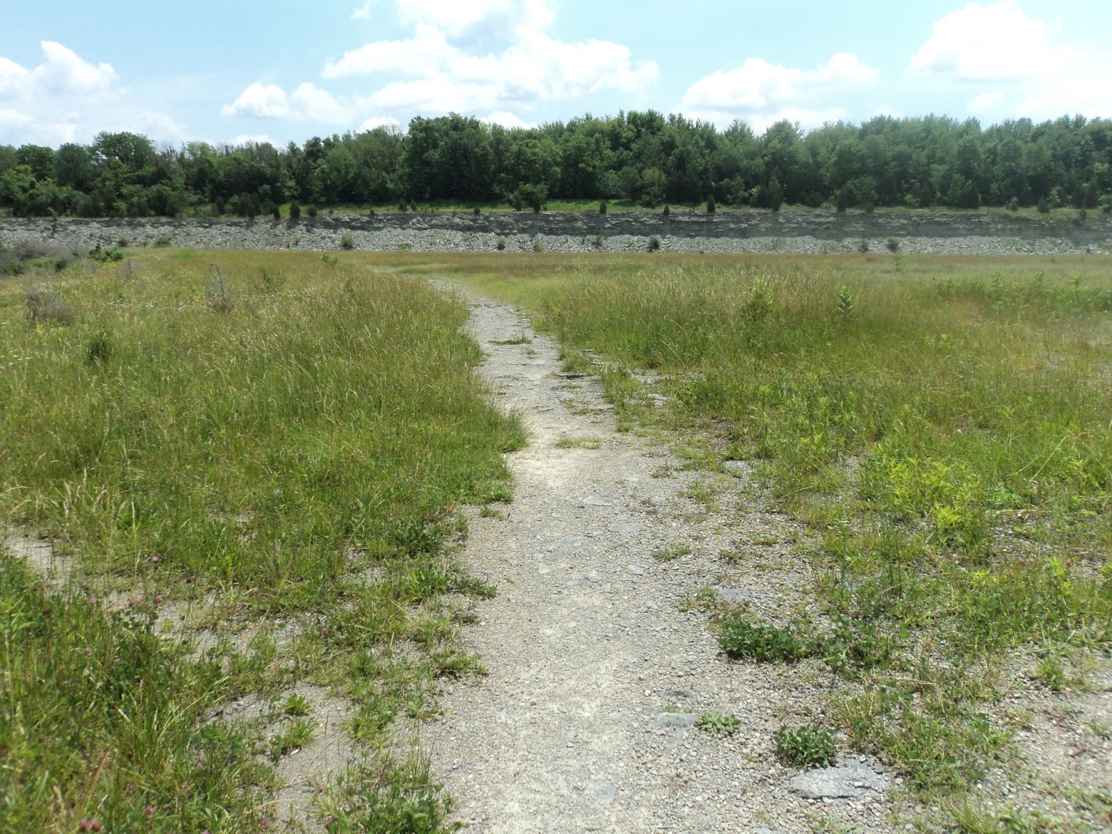
Past the cabin, the trail enters the old field for which this loop is named. You are now walking on mown grass with the tall grass of the field on either side. The field is a great place for viewing insects and birds, though it can be a bit warm on a hot, sunny afternoon. White arrows on brown carsonite posts direct you around the small trail loop in the field.
 |
| Trail enters old field |
After completing the mini-loop, another arrow directs you to the right, out of the loop, and down a gravel access road that soon empties onto the main park road. Just before this intersection, still in the field, a final arrow leads you to the left down a mowed path. This path shortly intersects the outbound trail to close the Old Farm Loop at 1.75 miles. Go straight, retracing your steps to where the two main trail loops part ways. Take a left to begin the Hepatica Hill Loop.
 |
| Start of Hepatica Hill Loop |
Though only 0.25 miles in length, the Hepatica Hill Loop is the most strenuous part of the hike. On my most recent visit, this section of trail was closed due to a landslide. After passing a hollowed-out sycamore tree, the trail descends a steep set of stairs to a bench at the bottom of the ravine. The bench provides a welcome rest and a decent view, but sunlight and bugs detract from the experience during the summer. Wear insect repellent accordingly.
Past the bench, the trail starts climbing steeply, using constructed wooden stairs for a considerable distance. The trail tops the hill behind Highwood Lodge where a well-placed bench is located for the weary. From this point, only a short walk down a well-graveled path beside the lodge remains to finish the hike.